All,
Back on September 8 all members of PBX received this edited email from Bob concerning our first hike of the season.
Hello Boys,
C’mon, let’s get back to the woods! The name of this trip is Five Mile at Four Mile. Hmmm…yessir! I can smell that gum swamp right now. Lets kick up some fallen leaves over in Burlington County. A place near and dear to me heart…as I spent my misguided youth just a couple miles from there.
On Saturday, 27 October, we’ll meet at 8:30 AM on route 70, about .5 miles West of the Four Mile Circle. We’ll beat that section of woods down, cross a stream or two, pass some interesting looking clearings, mosy up to the back of the boys home, and pop out at Mayo’s for a beer.
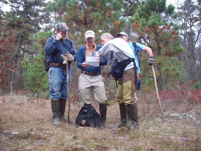
Participating members were ... Bob (bobpbx), myself {Teegate), Jessica, Scott (RednekF350), Tom (oji) and Chris (Hewey). Also attending was Scott's wife Dotty and her sister Sue.
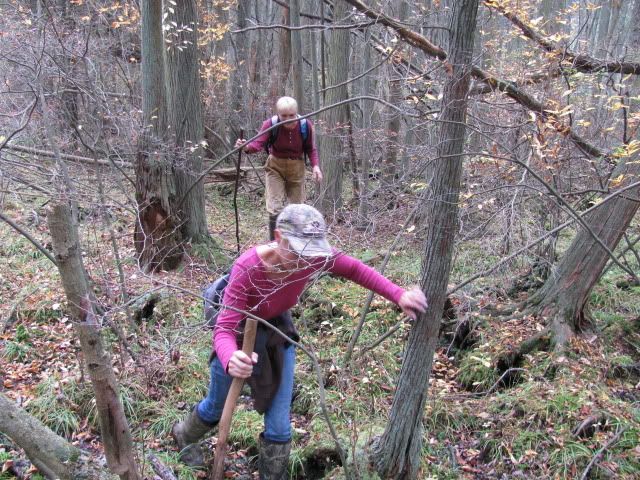
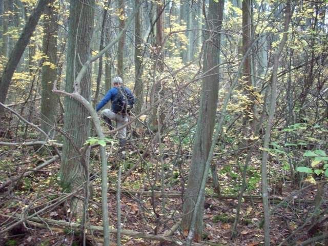
We entered the woods just west of the 72 circle and headed in the direction of the State Colony. One thing is certain about this area is that hunters love it. We saw no less than 20 deer stands and the like on our exploring today.

You may remember that a few years back they had a tornado that ripped through the 4 Mile Colony area taking down trees and damaging buildings there. We found out today that these winds traveled through the woods behind there doing the same to quite a few trees.

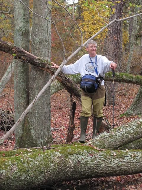
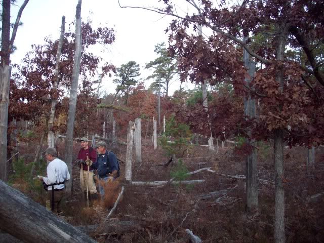
As usual we took a group photo. Today, it was in one of many interesting plantations scattered throughout the pines. They began with the CCC; however, we can't be sure when this one was planted. In any event, it was a really great place to spend some time.


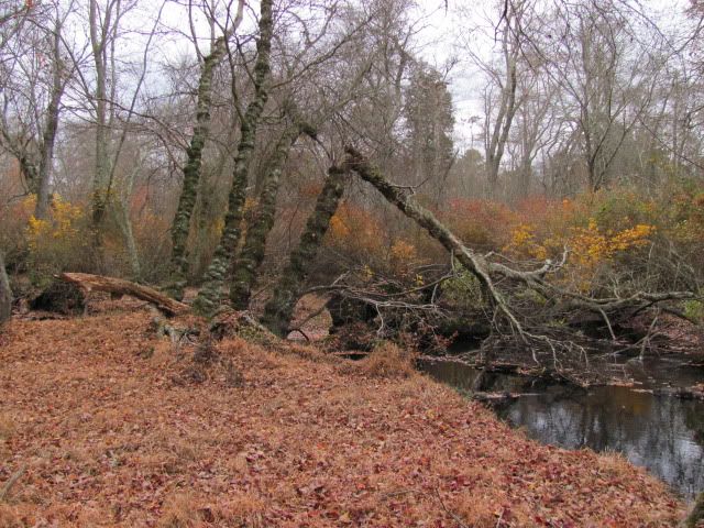
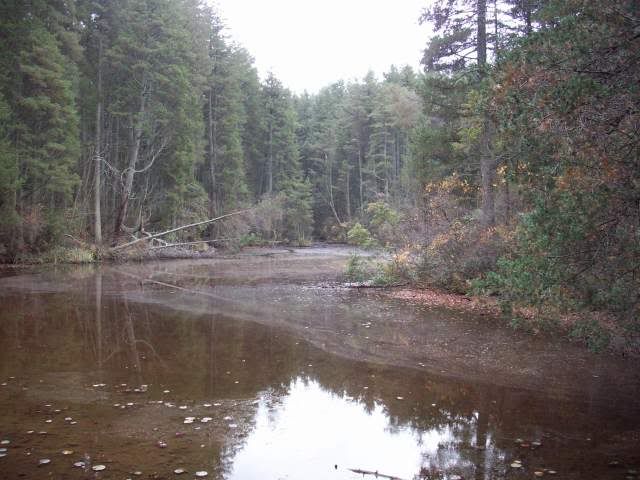
In the flood plane of the Burrs Mill Brook.

Off and on we came upon the various trails in the Michael Huber Prairie Warbler Preserve, and crossing the green trail we found this bridge.

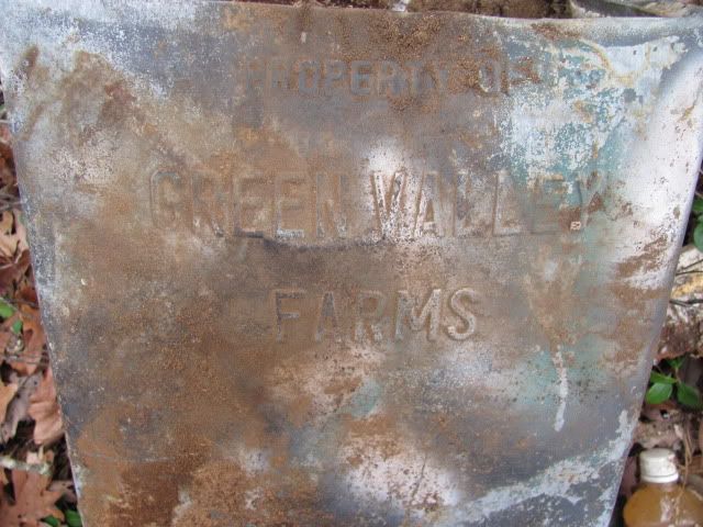
Bob names all of our waypoints along our route, and one of them was called "Ballpark." Arriving at this location it was obvious that it was some sort of dump from the way it had been covered over. After examining this location I am confident this was an old dump for the State Colony. Looking at HistoricAerials.com I can see that as far back as 1940 there was a road leading from the state institution to this site. To be fare there were also roads leading there from other places, but looking over some of the items found there I personally would say some of it came from there. By 1956 is was starting to grow in size.
Jessica looking slightly tired sitting on the dump.


The edges of the dump were along cedar swamps, and some of the metal and tire remains could be viewed even after it had been covered over with fill. It really is quite extensive and nearby there may have been checmicals dumped. There are EPS testing wells in the area.
The edges of the dump where it meets the cedar swamp.


http://maps.njpinebarrens.com/#lat=39.87048617098581&lng=-74.58715796470642&z=17&type=nj2007&gpx=
After 7 miles of crashing through the woods we ended up exiting the woods at Mayo's on 72 ... and the day was over. If the rest of the hikes this year are as good as this one I will be happy. These woods held so much to see and experience, and I gave it a 9.3 out of 10. I want to thank Bob for a well designed hike, and thank all the other members and family who attended.
Guy
Back on September 8 all members of PBX received this edited email from Bob concerning our first hike of the season.
Hello Boys,
C’mon, let’s get back to the woods! The name of this trip is Five Mile at Four Mile. Hmmm…yessir! I can smell that gum swamp right now. Lets kick up some fallen leaves over in Burlington County. A place near and dear to me heart…as I spent my misguided youth just a couple miles from there.
On Saturday, 27 October, we’ll meet at 8:30 AM on route 70, about .5 miles West of the Four Mile Circle. We’ll beat that section of woods down, cross a stream or two, pass some interesting looking clearings, mosy up to the back of the boys home, and pop out at Mayo’s for a beer.
Participating members were ... Bob (bobpbx), myself {Teegate), Jessica, Scott (RednekF350), Tom (oji) and Chris (Hewey). Also attending was Scott's wife Dotty and her sister Sue.
We entered the woods just west of the 72 circle and headed in the direction of the State Colony. One thing is certain about this area is that hunters love it. We saw no less than 20 deer stands and the like on our exploring today.
You may remember that a few years back they had a tornado that ripped through the 4 Mile Colony area taking down trees and damaging buildings there. We found out today that these winds traveled through the woods behind there doing the same to quite a few trees.
As usual we took a group photo. Today, it was in one of many interesting plantations scattered throughout the pines. They began with the CCC; however, we can't be sure when this one was planted. In any event, it was a really great place to spend some time.
In the flood plane of the Burrs Mill Brook.
Off and on we came upon the various trails in the Michael Huber Prairie Warbler Preserve, and crossing the green trail we found this bridge.
Bob names all of our waypoints along our route, and one of them was called "Ballpark." Arriving at this location it was obvious that it was some sort of dump from the way it had been covered over. After examining this location I am confident this was an old dump for the State Colony. Looking at HistoricAerials.com I can see that as far back as 1940 there was a road leading from the state institution to this site. To be fare there were also roads leading there from other places, but looking over some of the items found there I personally would say some of it came from there. By 1956 is was starting to grow in size.
Jessica looking slightly tired sitting on the dump.
The edges of the dump were along cedar swamps, and some of the metal and tire remains could be viewed even after it had been covered over with fill. It really is quite extensive and nearby there may have been checmicals dumped. There are EPS testing wells in the area.
The edges of the dump where it meets the cedar swamp.
http://maps.njpinebarrens.com/#lat=39.87048617098581&lng=-74.58715796470642&z=17&type=nj2007&gpx=
After 7 miles of crashing through the woods we ended up exiting the woods at Mayo's on 72 ... and the day was over. If the rest of the hikes this year are as good as this one I will be happy. These woods held so much to see and experience, and I gave it a 9.3 out of 10. I want to thank Bob for a well designed hike, and thank all the other members and family who attended.
Guy