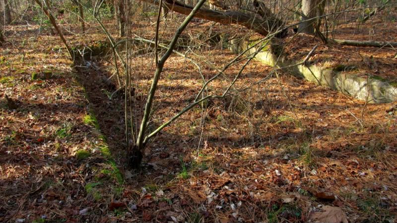
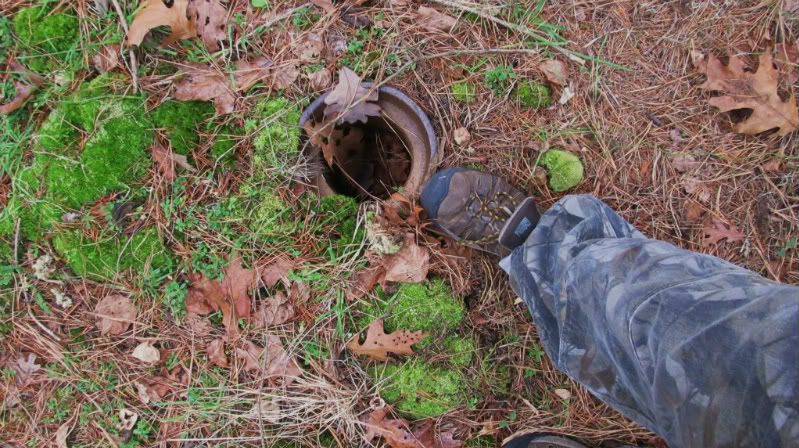
I decided tis the season to get some good Baileytown remains photographs now that the vegetation has died down.I am starting closer to my house on the east side and am gradually going to work my way west and hopefully get photos of all the structures relating to the farms of the people forced out by the ever benevolent state of NJ back in 1942 so that their houses could be used as targets by pilots gearing up to put a butt kicking on Hitler.Here is a link to maps and info on Baileytown.If you find the pic of Herschel Scehck,he was the father of my now deceased preacher and adopted uncle Clayto T. Scenck.His dad left his largest indian relic collection in NJ to him.I do not know where it went after his death but it was huge.
http://www.baileytown-nj.com/index.htm
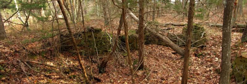
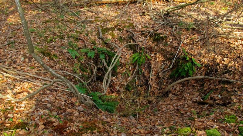
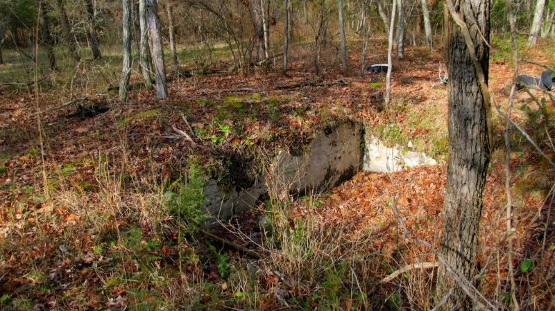
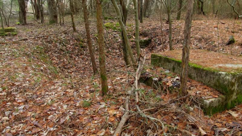
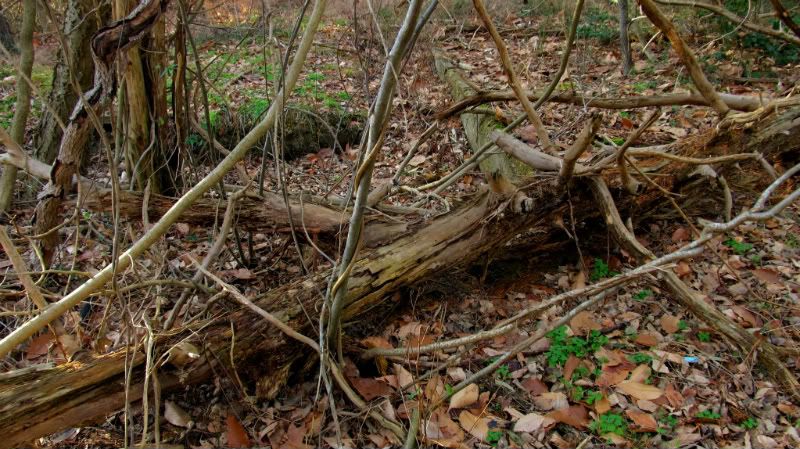
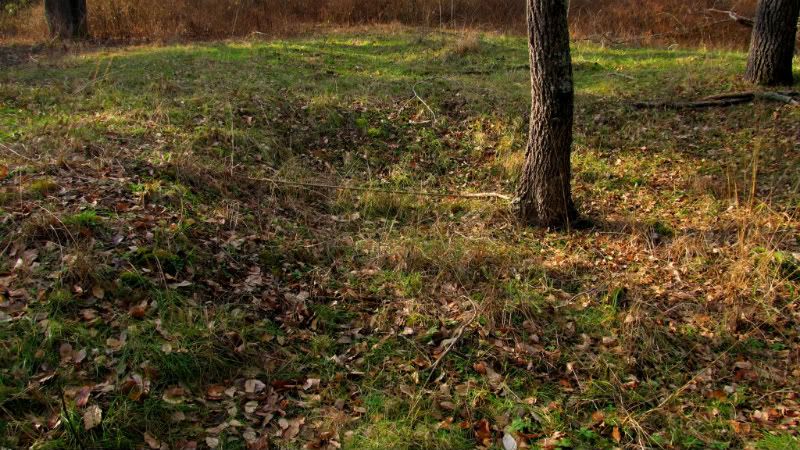
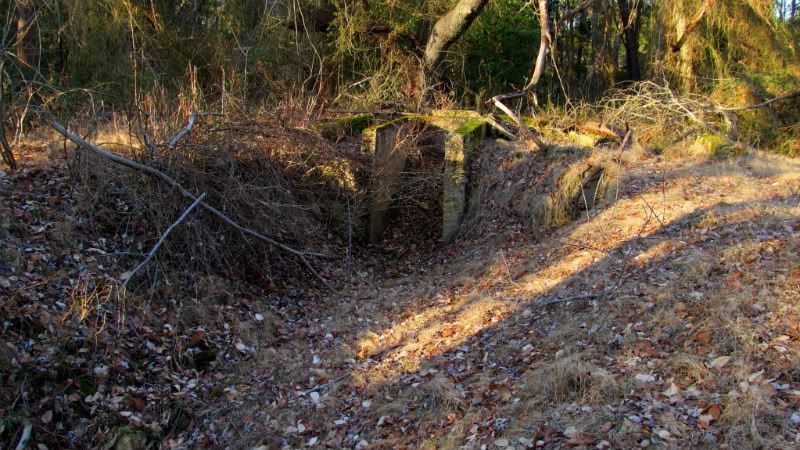
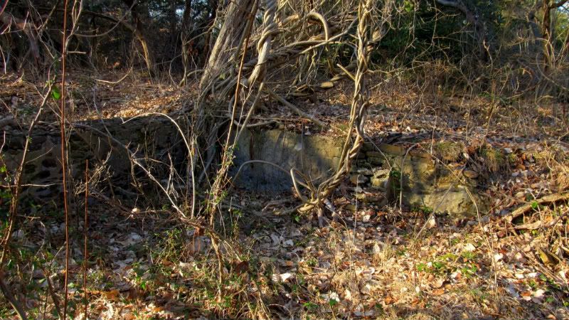
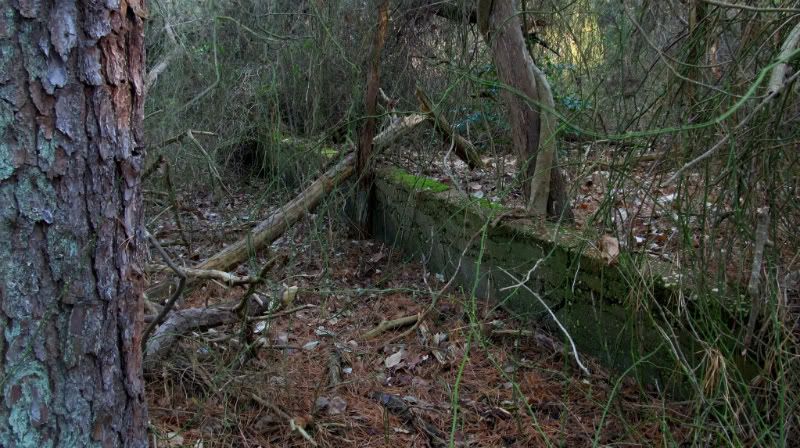
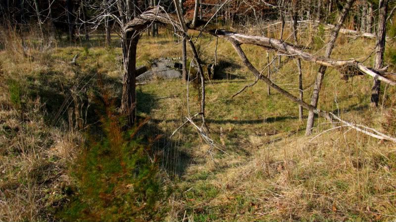
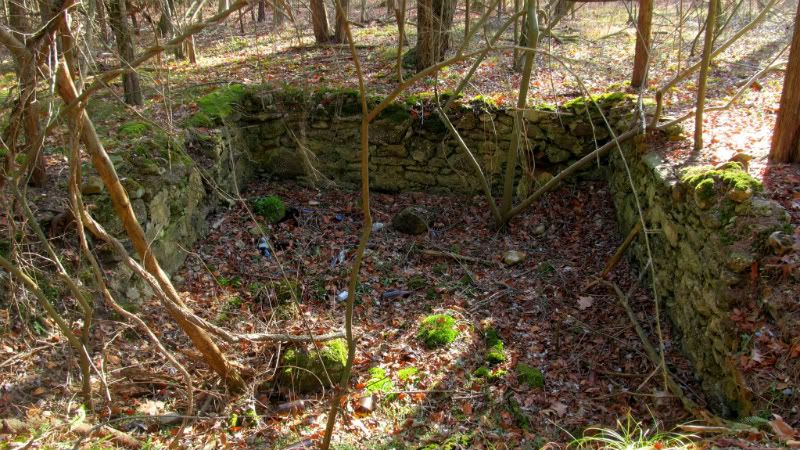
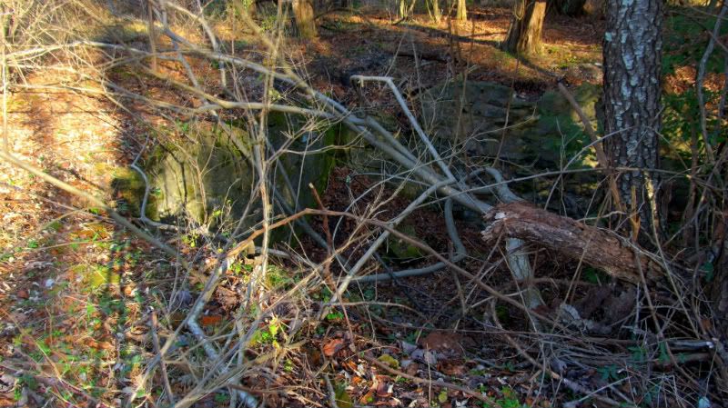
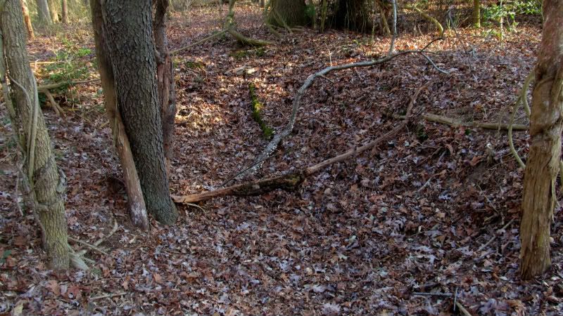
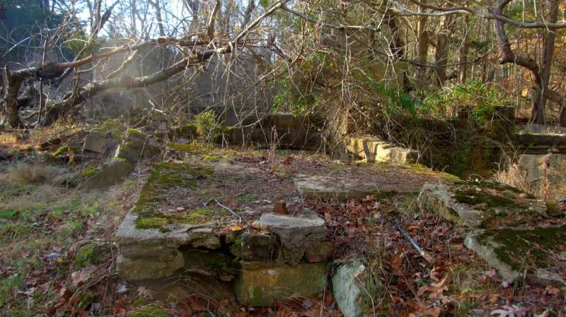
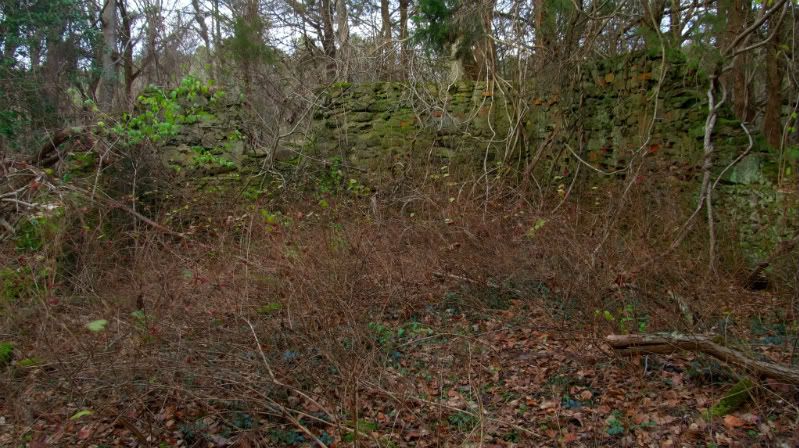
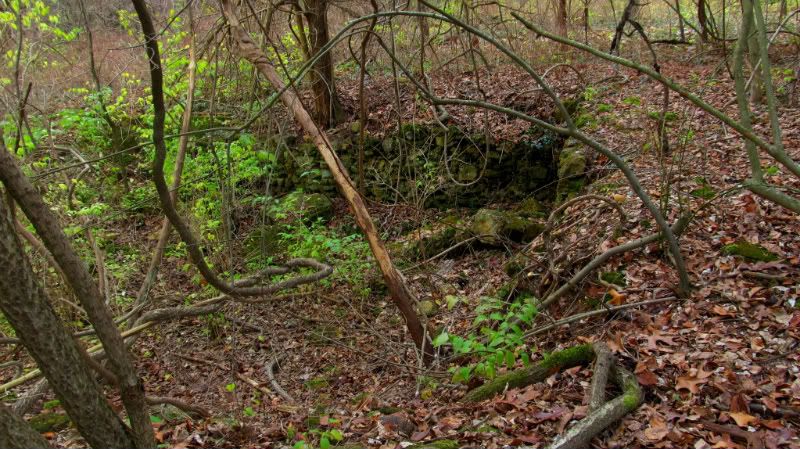
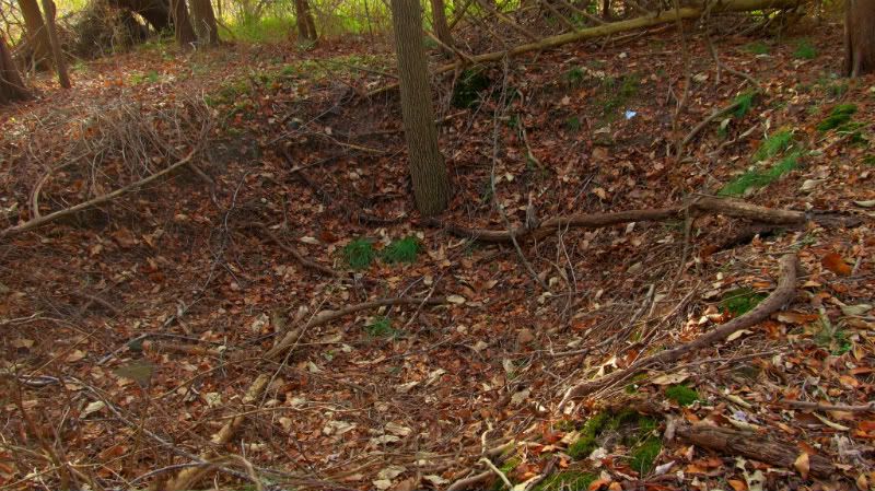
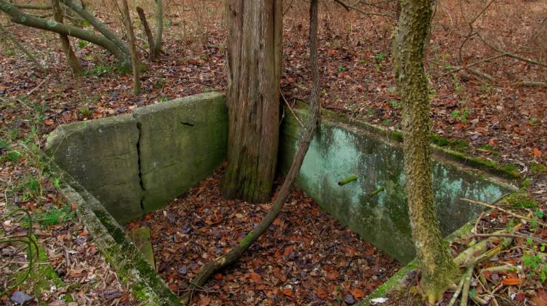
Here be the Felmey cellar hole,I first found this years ago when about 30 and was unaware of Baileytown though I knew of remains in the woods.There was about 2 ft of snow on the ground and I was just cutting across country for a rather vigorous walk when I darn near fell into this five foot deep cellar hole.Really with the snow i almost did not see it.I would have got lumped up for sure.
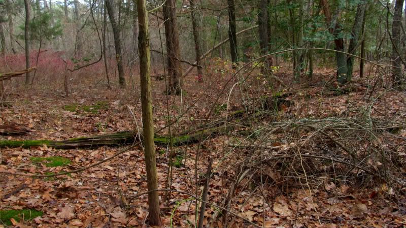
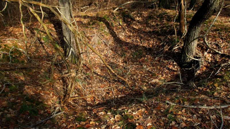
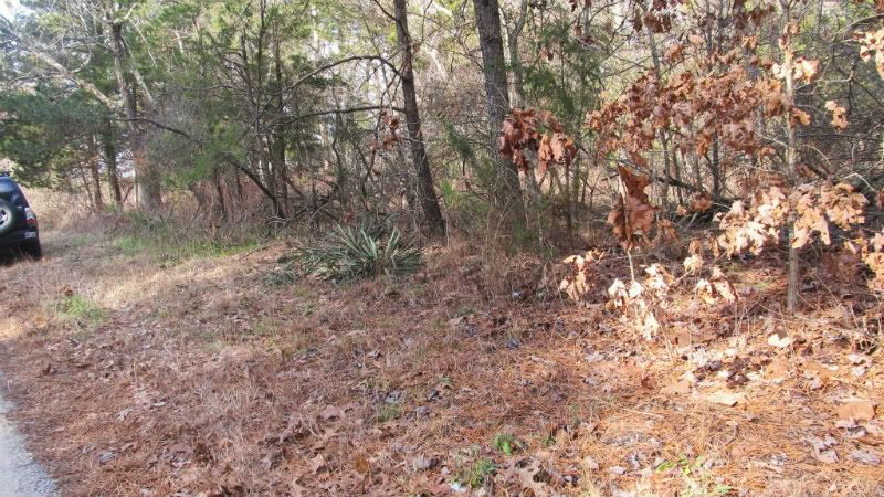
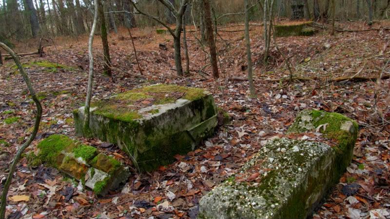
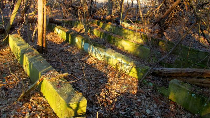
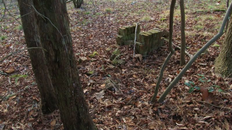
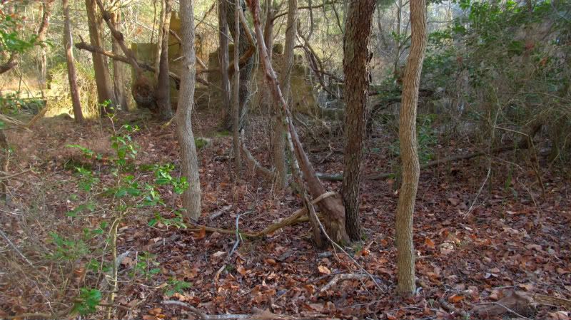
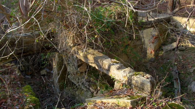
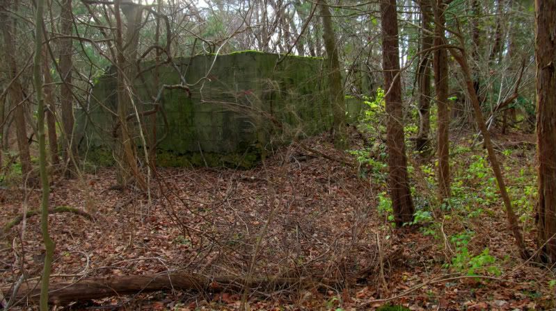
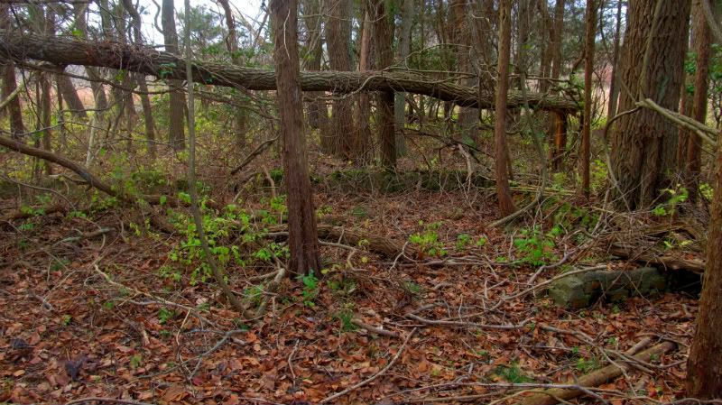
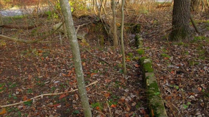
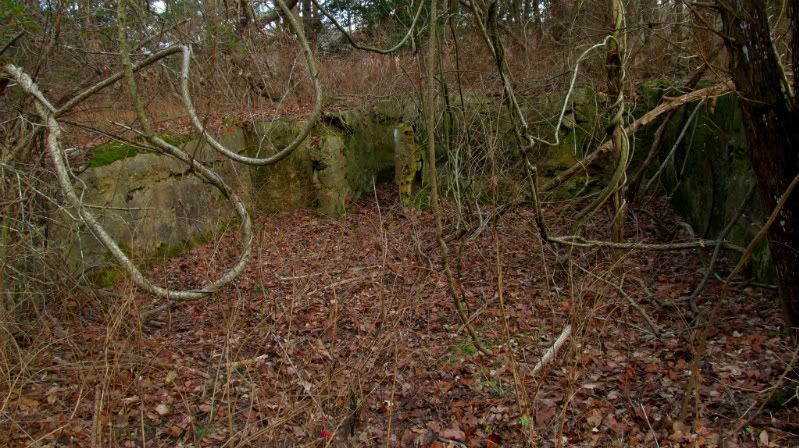
Then I took a shrot drive south to hit the Jamat buildings. Some are impressive.
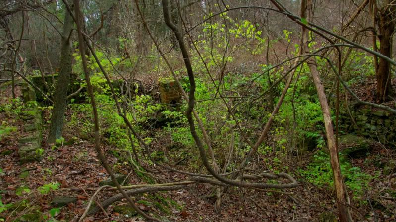
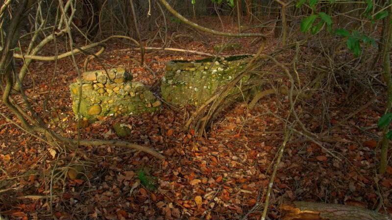
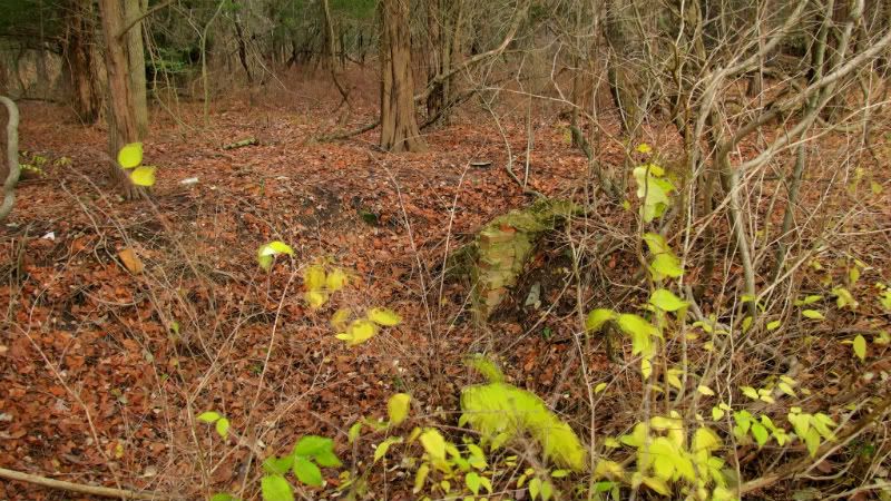
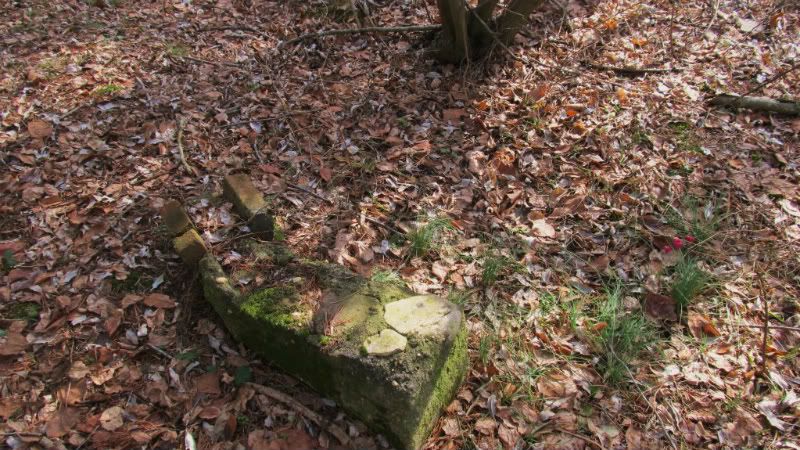
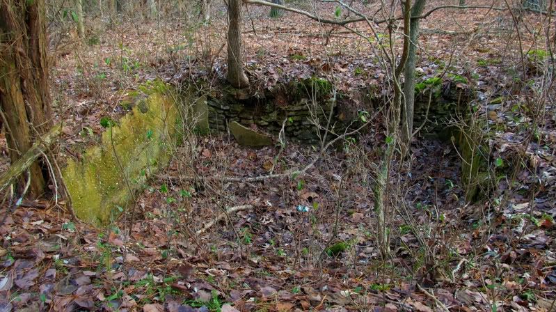
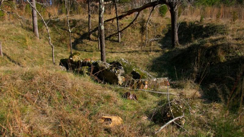
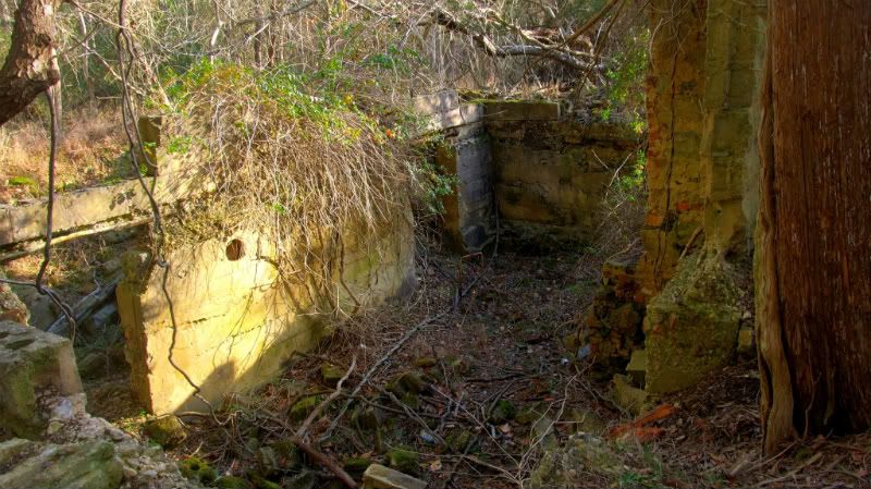
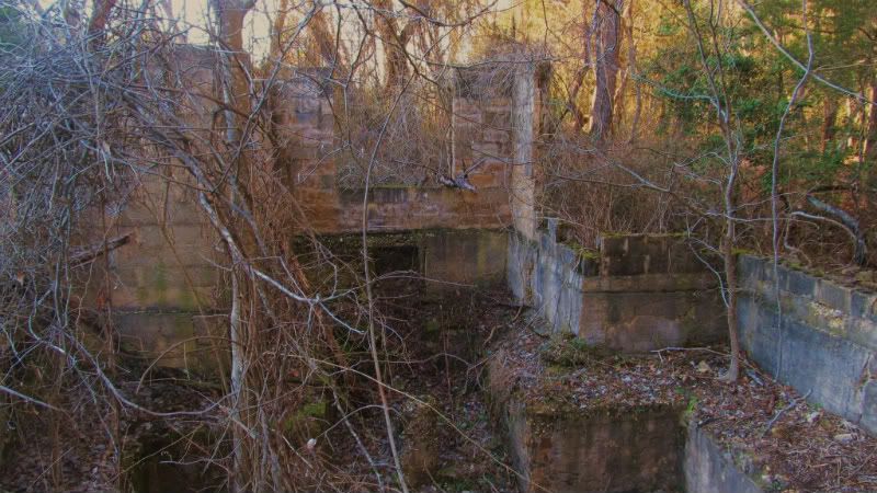
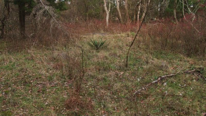
And now for the Reichert remains.By the way that century plant would be at least 69 years old now.I have plenty in my yard.They are indestructible,even when you try,darn good cordage material too.
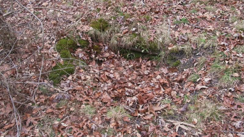
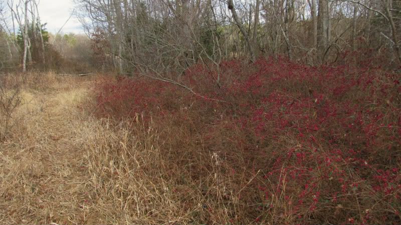
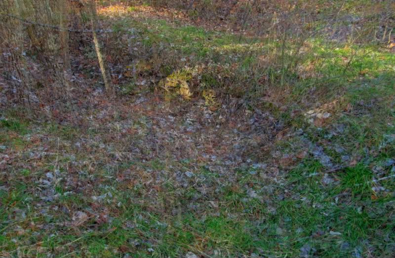
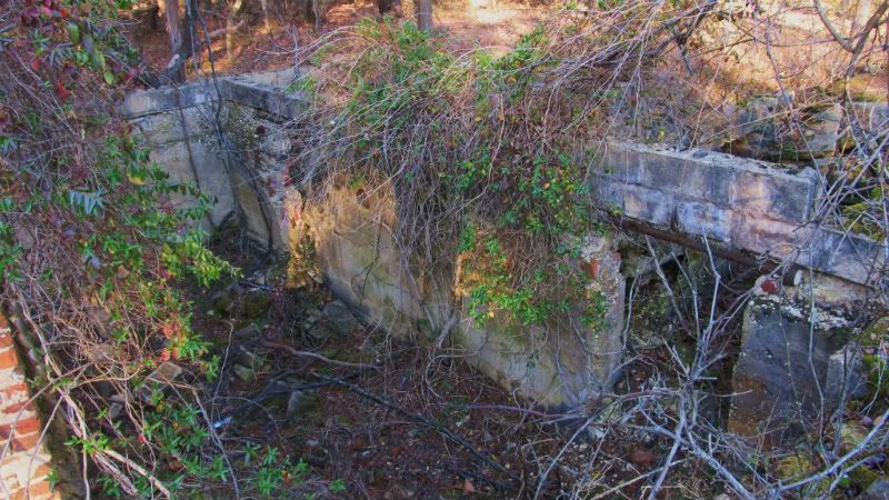
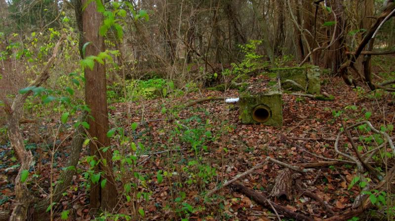
I'll have more coming up in the future.There is a very odd plant with purple berries that is around virtually every foundation area in baileytown.I have never seen this shrub grow wild and is obviously plants descended from ones planted by the homesteaders.I took two pics of it but they were blurry because i didn't use the tripod.I'll have to get better ones.I call it Baileyberry for want of a better name.Would love to know what it is.Very pretty berries.
http://www.baileytown-nj.com/index.htm
Here be the Felmey cellar hole,I first found this years ago when about 30 and was unaware of Baileytown though I knew of remains in the woods.There was about 2 ft of snow on the ground and I was just cutting across country for a rather vigorous walk when I darn near fell into this five foot deep cellar hole.Really with the snow i almost did not see it.I would have got lumped up for sure.
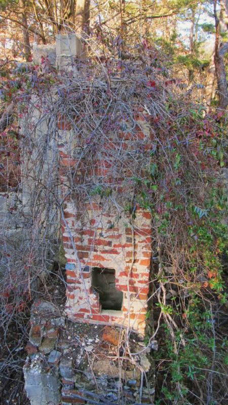
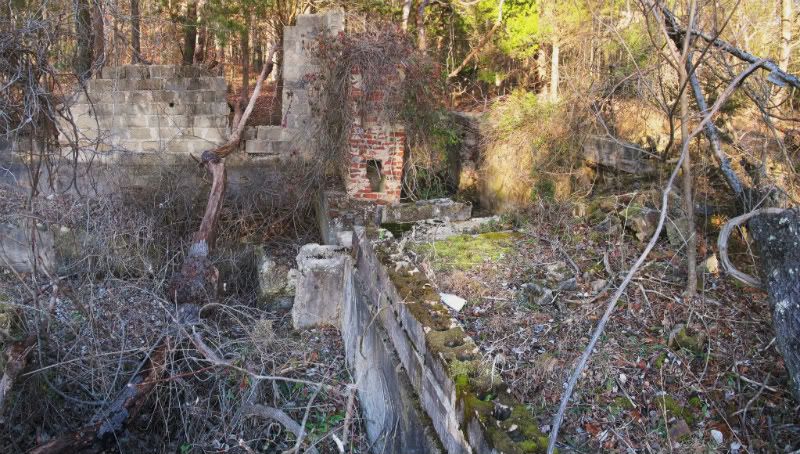
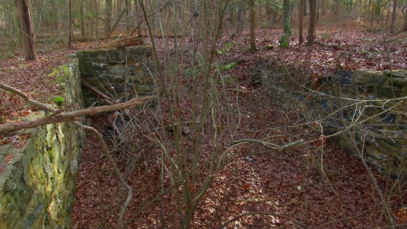
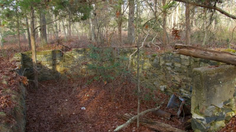
Then I took a shrot drive south to hit the Jamat buildings. Some are impressive.
And now for the Reichert remains.By the way that century plant would be at least 69 years old now.I have plenty in my yard.They are indestructible,even when you try,darn good cordage material too.
I'll have more coming up in the future.There is a very odd plant with purple berries that is around virtually every foundation area in baileytown.I have never seen this shrub grow wild and is obviously plants descended from ones planted by the homesteaders.I took two pics of it but they were blurry because i didn't use the tripod.I'll have to get better ones.I call it Baileyberry for want of a better name.Would love to know what it is.Very pretty berries.


")