
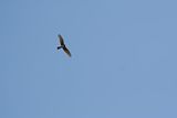
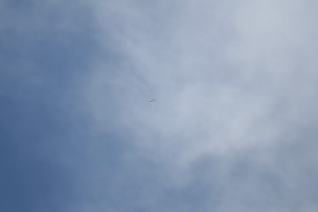
Went down to cape may national wildlife refuge today. Walked the woodcock trail and came across an abudance of birds including thrashers, thrushes, rufous towhees, bluebirds, sparrows(wasn't able to identify what kind), and tons of flickers and red bellied woodpeckers. From there i went to eldora nature preserve on delsea drive. There were tons of vultures flying low overhead along with a couple red tailed hawks. While hiking at eldora I saw way up in the sky 5 hawks. I'm normally pretty good at identifying hawks however these ones had me totally confused. Three of them were def. red tails or vultures. Two of them appeared to be bald eagles with the classic white head and tail. However, what threw me off was that the upper portion of the wing was brown and the last bottom third was pure white just like the tail. I have a picture of them but they are so high up the picture is of low quality. If you zoom enough you can see it though. Any ideas on what it could be?

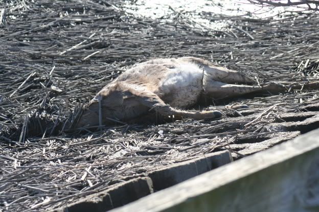
After I left eldora I turned down a road called moore's beach. This road was really cool and stretched into the delaware bay. I went down this road and several others including thompson's beach road. The amount of birds i saw from my car on these road's was incredible. About six blue herons, 6 great egrets, a flock of hooded mergansers, one bald eagle which flew out in front of my car, 4 red tailed hawks, and a male bobwhite which was sitting on the side of the road along a meadow. Also further down the road I started encounter strange things. I came across a bunch of black vulture which were feasting on three deer heads. No bodies just three heads within a ten foot area. Also at the end of the road there is an observation deck and parking lot. Adjacent to the lot in the marsh was this.

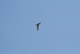
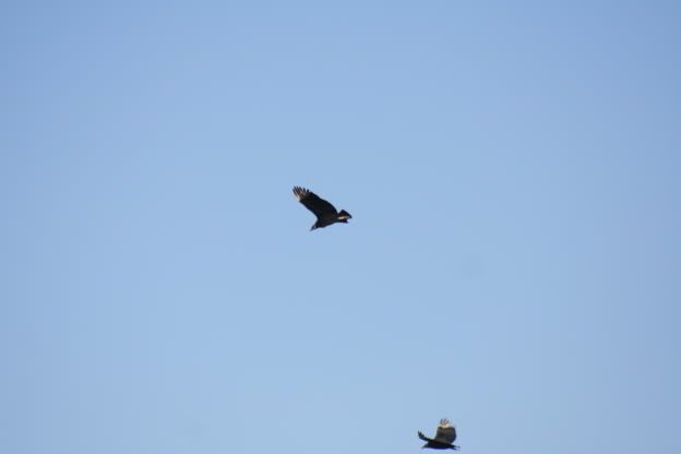
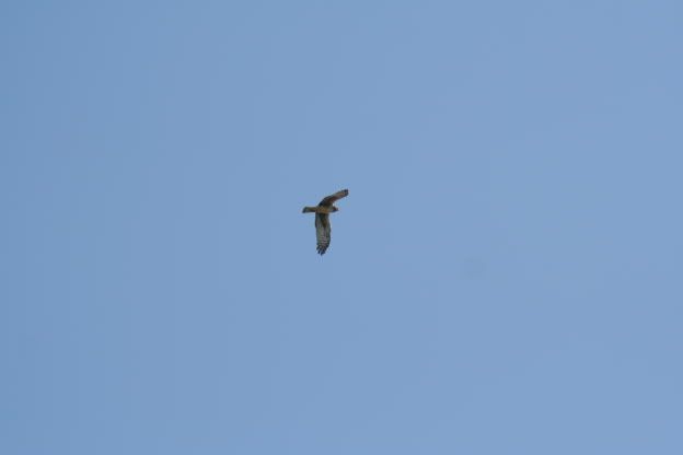
Apparently it had died of old age because it looked quit plump and had no visible injury. On my way out I managed to snap a picture of a northern harrier and some black vultures which were watching over yet another dead deer skull.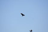
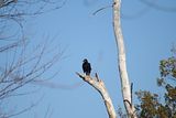
This was the fourth deer skull I found in about a 500 yard area, not a hunter so i guess this was weird to me. One thing I have to say about that area by the delaware bay is that it doesn't seem like new jersey. I felt like I was in the everglades with wildlife flying out from everywhere as I went around each turn in the road. I have to say it caught me completely off guard, I had no idea an area like that existed in new jersey. It is completely desolate and undeveloped which is really strange around here, for miles all your eyes can see is marshland. I can't wait to get down there again. Has anyone every been down by thompson's beach road? Are there any worthwhile trails to hike along that road? The area seem kind of sketchy to me, so desolate and the people I did see... well let's just say I wish new jersey allowed me to have a carriers permit.. I would feel safe then.
Also I apologize if this isn't technically a pine barrens exploration, very close though.
Chris
After I left eldora I turned down a road called moore's beach. This road was really cool and stretched into the delaware bay. I went down this road and several others including thompson's beach road. The amount of birds i saw from my car on these road's was incredible. About six blue herons, 6 great egrets, a flock of hooded mergansers, one bald eagle which flew out in front of my car, 4 red tailed hawks, and a male bobwhite which was sitting on the side of the road along a meadow. Also further down the road I started encounter strange things. I came across a bunch of black vulture which were feasting on three deer heads. No bodies just three heads within a ten foot area. Also at the end of the road there is an observation deck and parking lot. Adjacent to the lot in the marsh was this.
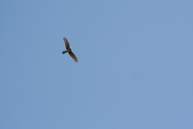
Apparently it had died of old age because it looked quit plump and had no visible injury. On my way out I managed to snap a picture of a northern harrier and some black vultures which were watching over yet another dead deer skull.

This was the fourth deer skull I found in about a 500 yard area, not a hunter so i guess this was weird to me. One thing I have to say about that area by the delaware bay is that it doesn't seem like new jersey. I felt like I was in the everglades with wildlife flying out from everywhere as I went around each turn in the road. I have to say it caught me completely off guard, I had no idea an area like that existed in new jersey. It is completely desolate and undeveloped which is really strange around here, for miles all your eyes can see is marshland. I can't wait to get down there again. Has anyone every been down by thompson's beach road? Are there any worthwhile trails to hike along that road? The area seem kind of sketchy to me, so desolate and the people I did see... well let's just say I wish new jersey allowed me to have a carriers permit.. I would feel safe then.
Also I apologize if this isn't technically a pine barrens exploration, very close though.
Chris
")
