I've tried driving west under the power lines from Union Rd but couldn't get through. There are a few houses in a clearing in those woods, way back there, with a very long driveway south out to 49. See
http://maps.njpinebarrens.com/#lat=39.390882445027934&lng=-74.96544730371613&z=19&type=nj2015&gpx=
You may also be able to enter by that power substation behind the former Ike's Crabcakes, but I don't know if there's a gate these days.
Never heard of Tavern Rock, where is that? As I said before, I lived in East Vineland for over 15 years but I bet most of these places became inaccessible before my time. Most of the dirt roads off Union now have felled trees or big dirt humps, and the one to Bennett's Mill had a gate installed because that became a well known trash dumping place, sometime around 2005-2006.
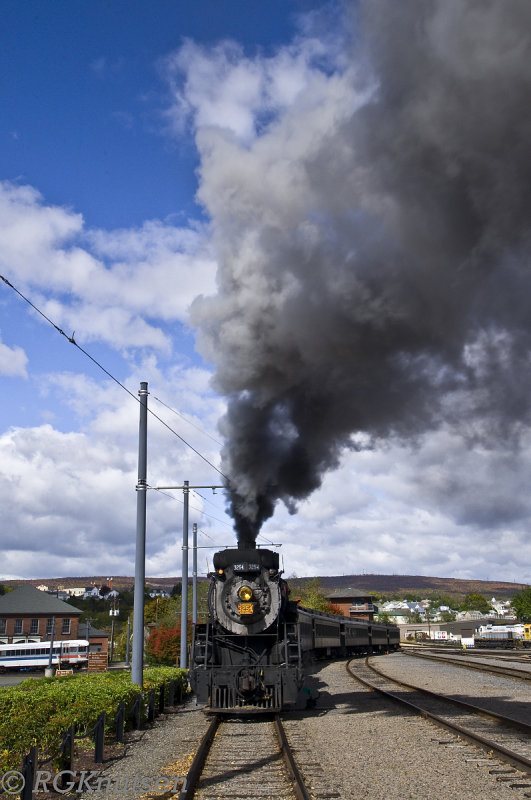
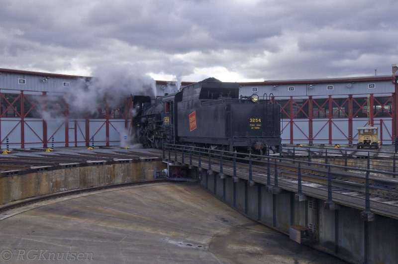
46er, I stumbled upon that Steamtown NHS you mentioned, pretty much by accident. I was traveling through Scranton with my wife in the fall of 2015 and we stopped at this very sad looking mall, thinking we'd hit the food court for a quick bite to eat. Normally I avoid malls but the parking was very convenient, since as I later found out, the mall is 90% vacant. From the food court though, there was a catwalk-type bridge over some train tracks, which we walked over, and it led to the entrance of Steamtown. We ended up paying the admission and walking around for two or three hours. I don't have any particular interest in steam locomotives or any of that stuff but it was pretty fascinating nonetheless. I was born in Reading and it's the history of the coal region that interests me most.
")