
I recently led a PBX hike in the retreat preserve in southampton. A portion of that hike was along friendship creek north of route 70. Bobpbx and I were discussing the headwaters of friendship creek primarily burrs mill brook. However, I seemed to recall that friendship creek had it's head waters elsewhere. I was correct. While burrs mill brook and bread and cheese run both contribute to the friendship creek north of route 70, friendship creek proper actually starts south of route 70 and west of burrs mill brook and east of bread and cheese run.
the Rancocas conservancy recently purchased over 225 acres in the headwater area of friendship creek so I went to explore this morning. It is also very close to my house, however, it does require a fairly long hike down non -public roads to get to the property.
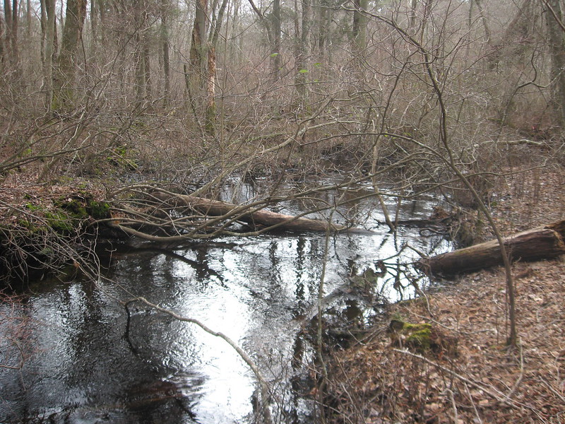
Friendship creek.
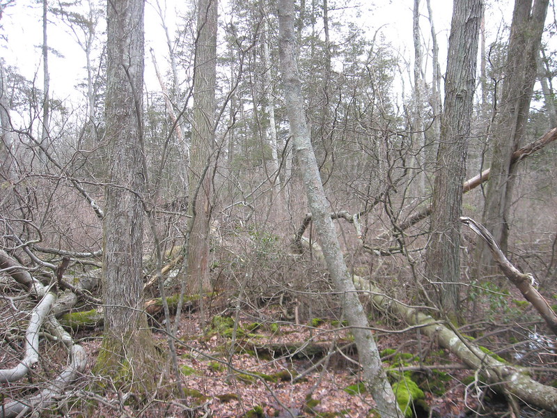
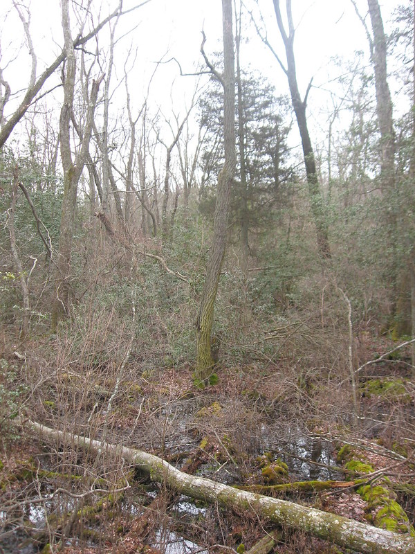
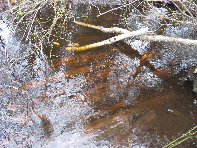
An interesting mix of maple and cedar swamp within the creek flood plain.
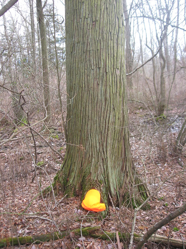
a large cedar, one of several. Hat for perspective.
trash in the pines is not very cool, but sometimes historic trash can be interesting.
a washing machine...i think

a very old car tire (note how skinny)
an old air cleaner
A now submerged bridge
I didn't have enough time to cover the whole area and the actual headwaters are on private land (but this is very close). I will return soon for a more comprehensive explore. Meanwhile here is some video.
Jeff
the Rancocas conservancy recently purchased over 225 acres in the headwater area of friendship creek so I went to explore this morning. It is also very close to my house, however, it does require a fairly long hike down non -public roads to get to the property.
Friendship creek.
An interesting mix of maple and cedar swamp within the creek flood plain.
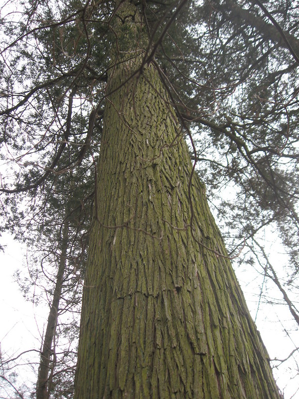
a large cedar, one of several. Hat for perspective.
trash in the pines is not very cool, but sometimes historic trash can be interesting.
a washing machine...i think
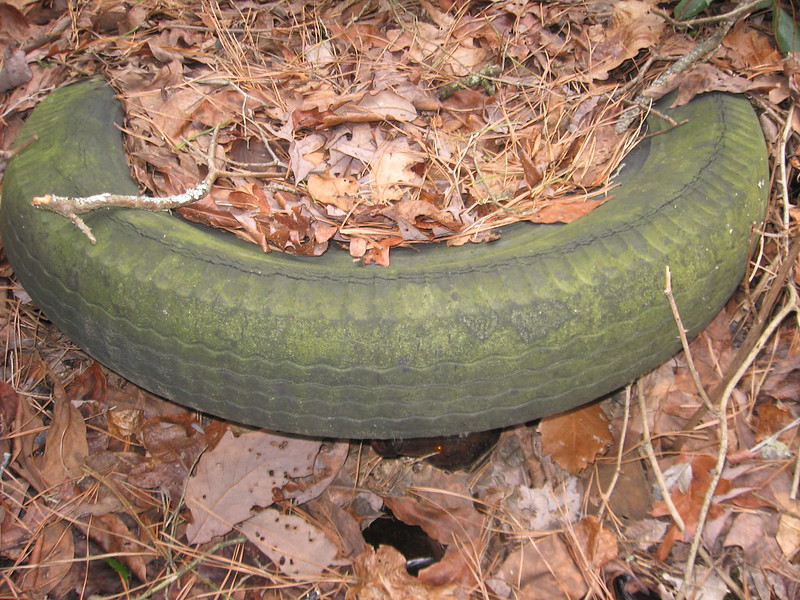
a very old car tire (note how skinny)
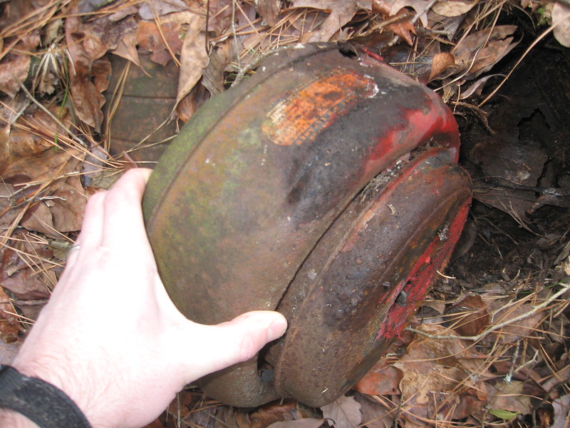
an old air cleaner
A now submerged bridge
I didn't have enough time to cover the whole area and the actual headwaters are on private land (but this is very close). I will return soon for a more comprehensive explore. Meanwhile here is some video.
Jeff

")