All,
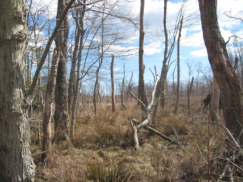
At the beginning of March Bob sent an email to all of the members of PBX to let them know that him and I were working on a hike in a maritime forest of NJ. Our plan was to tackle the 'Hawkin Swamp from the north and hike to the southern end. The date was set for March 27th.
PBX members at the start of this hike were, Scott (RednekF350), Jeff (Woodjin), Mike (DRZ-Mike), Mickey, and I (Hewey). We met at the end point, dropped a couple of bailout vehicles on the way north to the start point. We started the north end of the hike on my friend's property.
The first waypoint "Duck Camp". I think the location was used for a duck hunting camp back years ago.
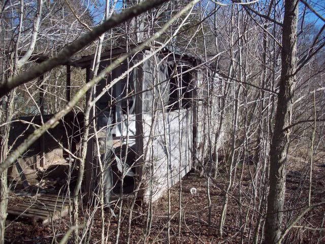
A Persimmon Tree we found in the area of "Duck Camp"
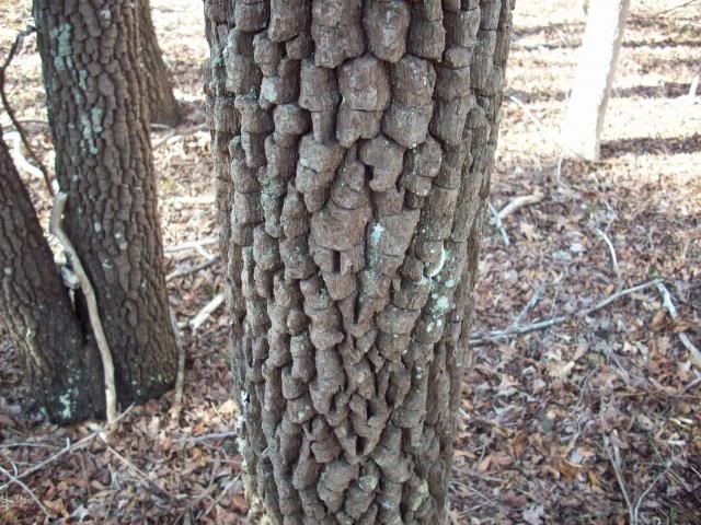
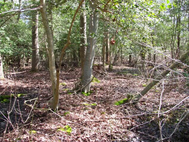
Most of the hike was deciduous swamp. Dominated by large maple, tulip, and gum trees.
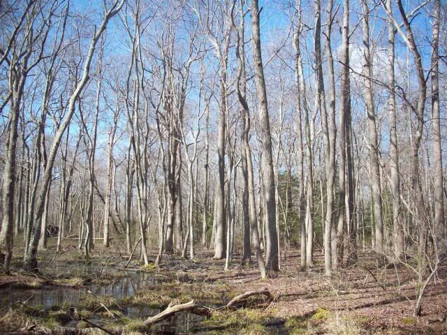
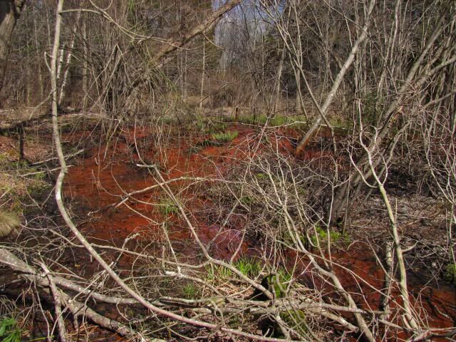
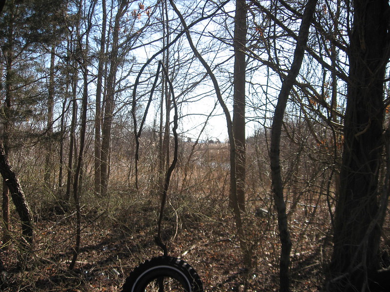
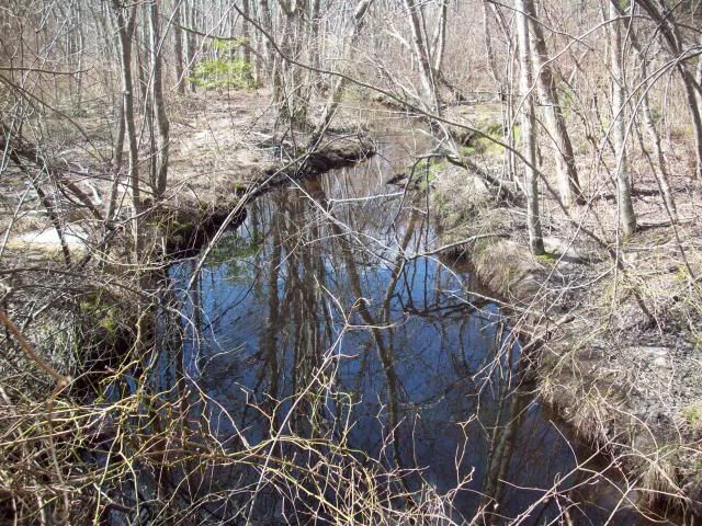
The Gunning River.
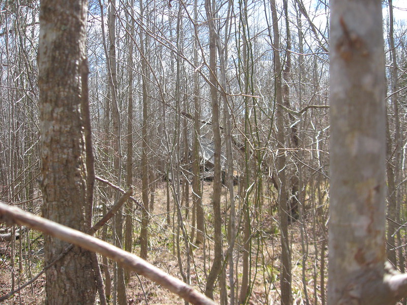
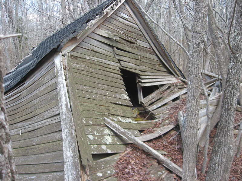
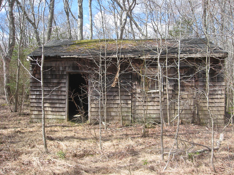
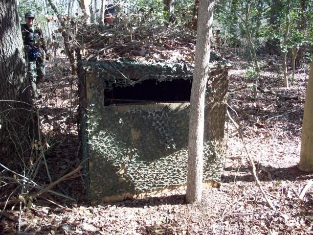
A hunter's shooting shack we found along the way.
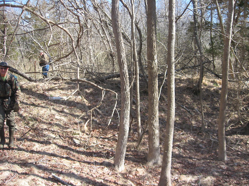
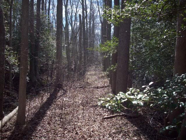
A long forgotten road.
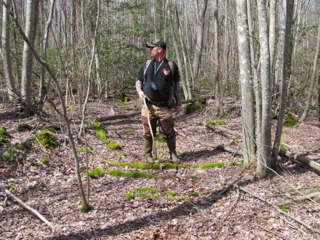
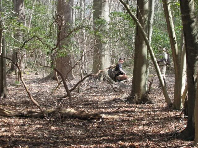
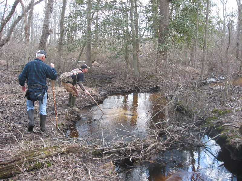
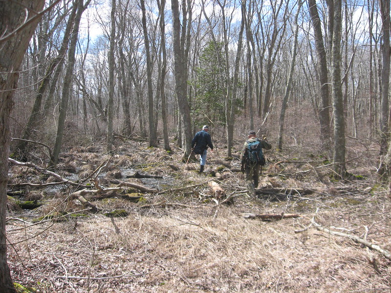
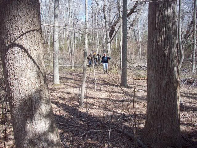
PBX Crew making their way through the swamp.
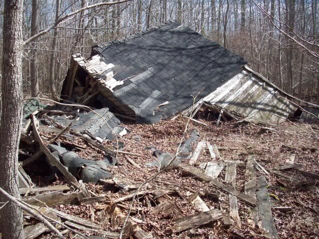
At waypoint "Better days".
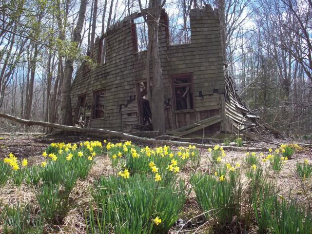
The Daffodil have out lasted the home.
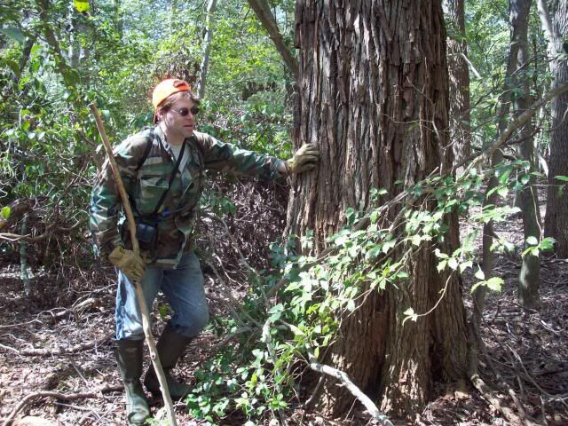
Jeff with a massive Sassarfas we found.
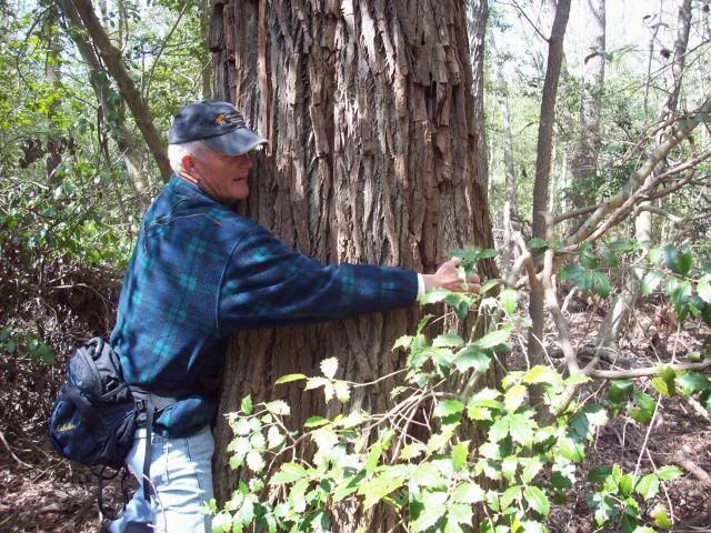
Mickey estimating the size, or just an excuse for him to hug a tree? Mickey estimated the tree to have about a 11' circumference.
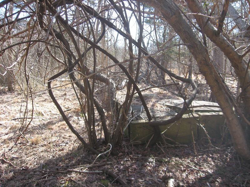
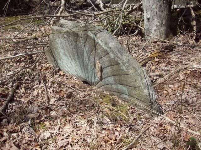
The highlight of the hike. A long forgotten Grist Mill stone we found.
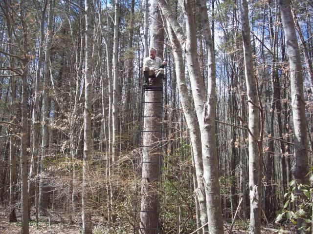
About half way through the hike we found BobPBX in treestand waiting for us at waypoint "Ditch"! He was feeling under the weather in the moring. Feeling better he decided to meet up with us for the last half of the hike.
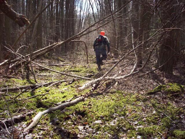
In the 30's and 40's large scale cedar cutting was going on in the area we hiked. Jeff making his way down one of the old corduroy roads.
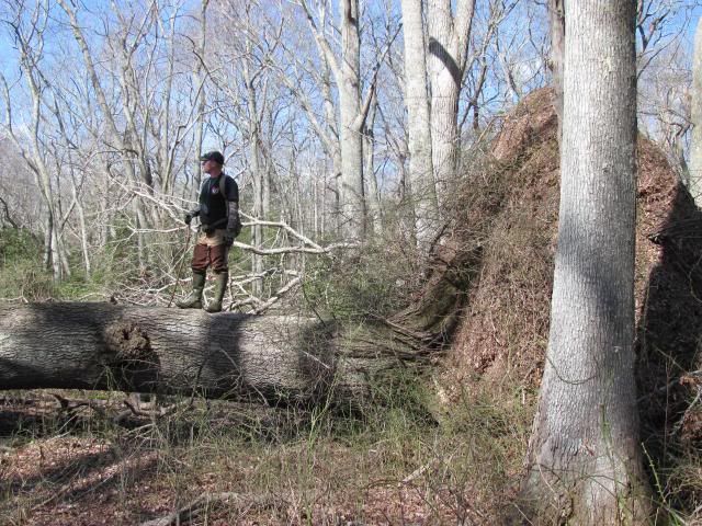
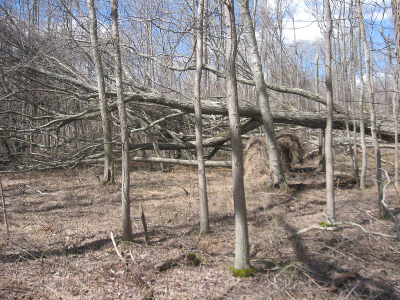
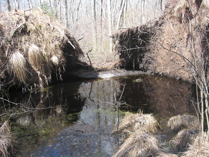
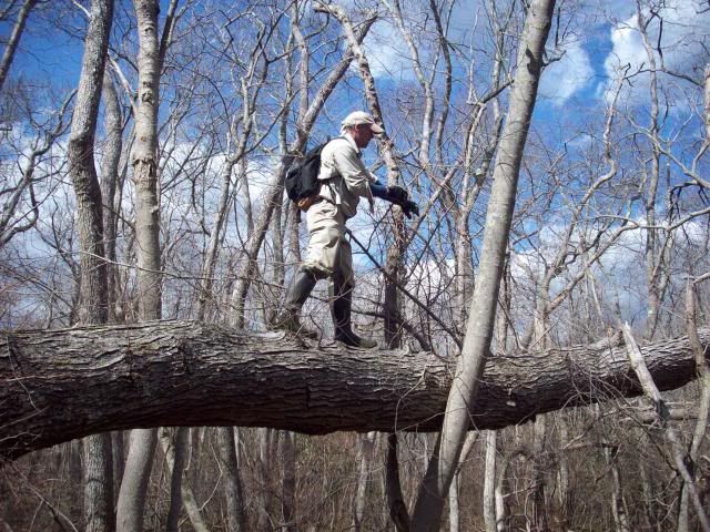
BobPBX playing on a large blowdown from Hurricane Sandy.
We ended up with a little over 6 miles on the GPS at the end of the hike. We ended the day with some craft beer and snacks back on my friend's land. We rated the hike a 9.6, a true PBX classic.
Chris
At the beginning of March Bob sent an email to all of the members of PBX to let them know that him and I were working on a hike in a maritime forest of NJ. Our plan was to tackle the 'Hawkin Swamp from the north and hike to the southern end. The date was set for March 27th.
PBX members at the start of this hike were, Scott (RednekF350), Jeff (Woodjin), Mike (DRZ-Mike), Mickey, and I (Hewey). We met at the end point, dropped a couple of bailout vehicles on the way north to the start point. We started the north end of the hike on my friend's property.
The first waypoint "Duck Camp". I think the location was used for a duck hunting camp back years ago.

A Persimmon Tree we found in the area of "Duck Camp"

Most of the hike was deciduous swamp. Dominated by large maple, tulip, and gum trees.

The Gunning River.

A hunter's shooting shack we found along the way.

A long forgotten road.

PBX Crew making their way through the swamp.

At waypoint "Better days".

The Daffodil have out lasted the home.

Jeff with a massive Sassarfas we found.

Mickey estimating the size, or just an excuse for him to hug a tree? Mickey estimated the tree to have about a 11' circumference.

The highlight of the hike. A long forgotten Grist Mill stone we found.

About half way through the hike we found BobPBX in treestand waiting for us at waypoint "Ditch"! He was feeling under the weather in the moring. Feeling better he decided to meet up with us for the last half of the hike.

In the 30's and 40's large scale cedar cutting was going on in the area we hiked. Jeff making his way down one of the old corduroy roads.

BobPBX playing on a large blowdown from Hurricane Sandy.

We ended up with a little over 6 miles on the GPS at the end of the hike. We ended the day with some craft beer and snacks back on my friend's land. We rated the hike a 9.6, a true PBX classic.
Chris


