On Sunday we decided to revisit the RR trestle I used to canoe under in the early 70's, I hadn't been there since. This is just downstream from Chatsworth Lake and was reached by taking the red trail east from the parking lot.
Looking east. It is in good shape but I don't know if it would take a train.
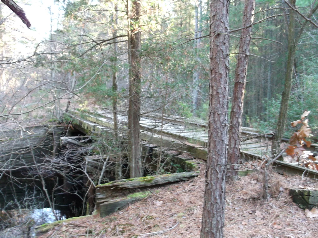
Looking upstream.
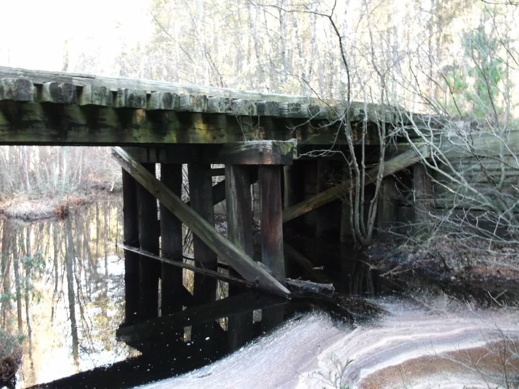
The Wading River looking downstream. It is slow, deep and just asking to be paddled.
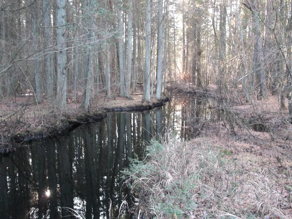
Next we moved on to find an irrigation pond I saw on birdseye.
http://www.bing.com/maps/?v=2&cp=qn...=9.33&sty=b&where1=Chatsworth, NJ&form=LMLTCC
I wonder why they needed this with all that water out there.

We moved on following a road that parallels the RR tracks.
http://www.bing.com/maps/?v=2&cp=qn...88.59&sty=b&where1=Chatsworth, NJ&form=LMLTCC
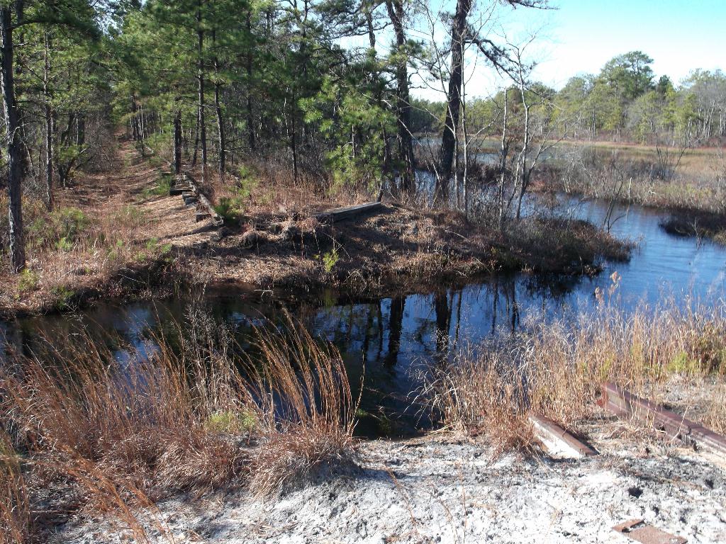
Unfortunately it was quite flooded and may stay that way depending on what they do with the dikes.
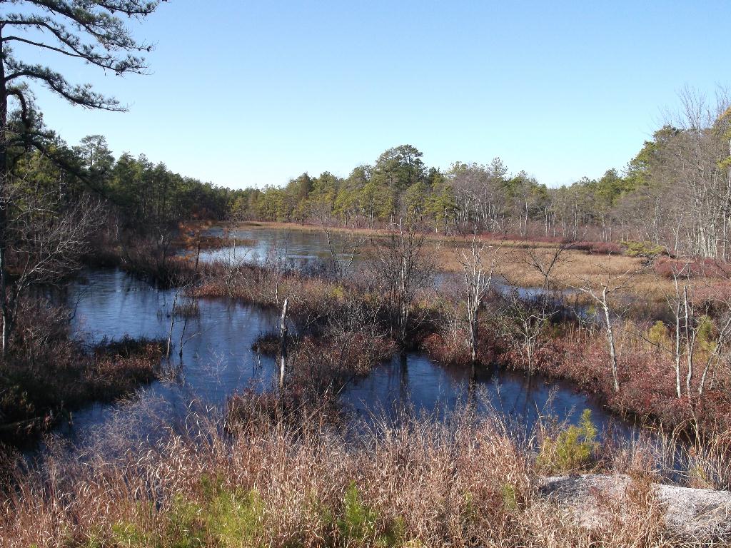
The end of the line at the previous location.
More to come.
Ed
Looking east. It is in good shape but I don't know if it would take a train.

Looking upstream.

The Wading River looking downstream. It is slow, deep and just asking to be paddled.

Next we moved on to find an irrigation pond I saw on birdseye.
http://www.bing.com/maps/?v=2&cp=qn...=9.33&sty=b&where1=Chatsworth, NJ&form=LMLTCC
I wonder why they needed this with all that water out there.

We moved on following a road that parallels the RR tracks.
http://www.bing.com/maps/?v=2&cp=qn...88.59&sty=b&where1=Chatsworth, NJ&form=LMLTCC
Unfortunately it was quite flooded and may stay that way depending on what they do with the dikes.

The end of the line at the previous location.

More to come.
Ed


