Monongahela trip

whippoorbill

Explorer
Jul 29, 2003
675
121
66
Bridgeton
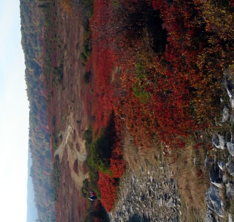
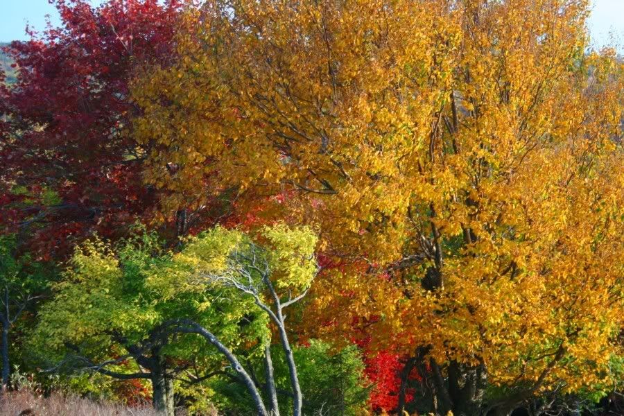
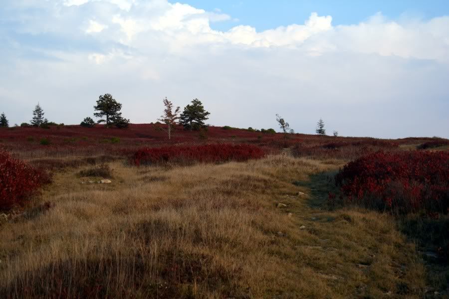
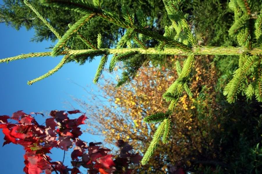
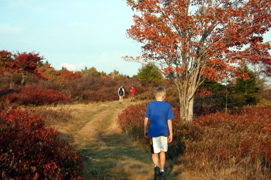
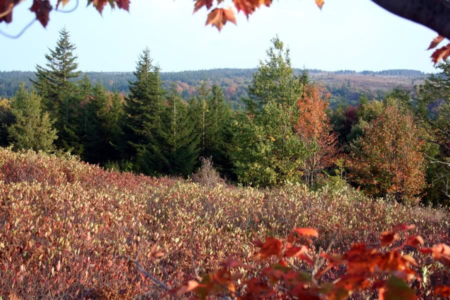
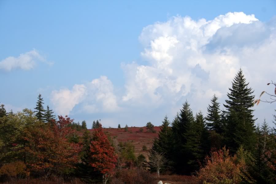
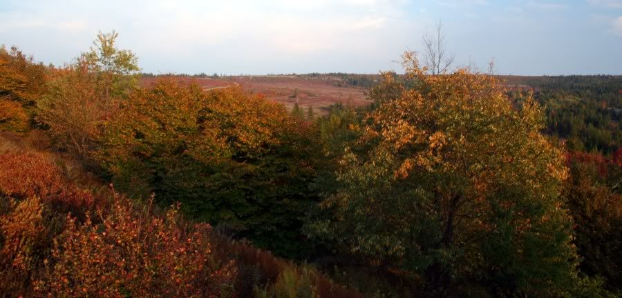
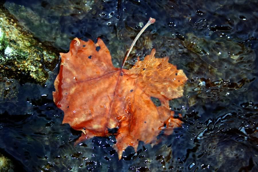
Bob's inspiring Adirondack photos compel me to share a few photos I took while visiting West Virginia earlier this week. Large quantities of time was spent up on the Dolly Sods, which ranks as my favorite wilderness area on the planet, and has warranted repeat visits.

Here are a few photos from the Sods (apologies ahead of time for the slightly-larger-than-screen-size sizes):

09sods.jpg


10sods.jpg


16sods.jpg


25sods.jpg


29sods.jpg


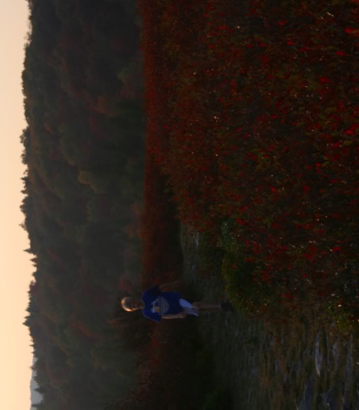
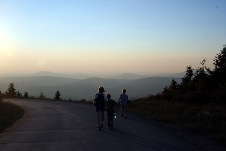
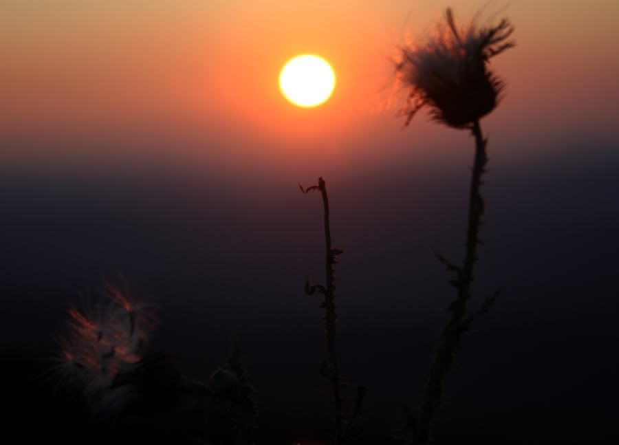
The pair below were captured atop Spruce Knob, which is the highest peak in West Virginia. After a long hike, we went to a western ridge and awaited sunset.

01spruce.jpg


03spruce.jpg


Thanks for looking,
Bill
 

Teegate

Administrator
Site Administrator
Sep 17, 2002
25,952
8,695
Nice! It looks like fall is coming earlier there than here.


Thanks for posting.


Guy
 

Sue Gremlin

Piney
Sep 13, 2005
1,286
245
61
Vicksburg, Michigan
Holy moly, is that fantastic! I had no idea such places existed in VW. That's breathtaking. I see a trip in the Gremlin's future.

Thanks so much for sharing these. Wow, I am blown away.
 

manumuskin

Piney
Jul 20, 2003
8,673
2,586
60
millville nj
www.youtube.com
It"s always been a dream of mine to float gently thru the fog between huckleberry hill and bear rocks while catching glimpes of ravens ridge to the south before the fog shuts me completely down.wandering with no place to go till i decide to find the trail.finally time to head back but wait! the trail is not where i thought it would be.It"s still beautiful but now I"m noticing it less.not frantically not noticing yet but starting to blame my silva for it"s itinerant ways.I try once,twice three times to locate the road to the south.it's no here.the only thing to do is strike out for bear rocks 2 miles away as the raven flies and hope I beat darkness and rain.It"s in the high 50"s now and already wet from fog.I start not noticing faster and more thorughly.I run across open grasslands with hidden rocks and stunted crabapple trees.then i stumble thru red spruce thickets hiding jagged conglomerate with 10 ft deep caves waiting to break my legs that are even more scared then my brain.I run across the boughs like a red squirrel on peyote. 1hour till dark and it's drizzling,the temp is dropping.I"m dressed in a cotton flannel,oh joy!head east to the front I say,keep moving are it'll be a cold miserbale night in wet virginia for me.My visibility is down to 20 ft,every boulder flys by at light speed.i enter a huckleberry thicket and start to see deer trails floored bu white pea gravel.their everywhere,faster,i almost fall off into nothing.is this the front?is that jordan down there?turn right,south toward bear rocks,run dummy run.the trails get bigger,i stick to the front like a flys ass to the windshield.i check the compass,Damn! I"m headin north,fron on my right,what the h...,compas i hate you but your all i have....eats..gooo,100 yards wham back on the front.i can see 10 ft.,hear nothing,like I"m in a sponge,I"m deaf.I yell,the fog says slap and smacks it to the ground.i head south again,run,5 minutes later i check compas,damn,north againeast,wham back at the front.right turn clyde go.5 minutes later north againthats it"I"ll head north.i watch and slow down,gradually the lip turns west then bears back around to the south.I"m on an aerial peninsula thats just big enough to throw me off in the fog.run...whats this another deer trail?no It"s too big,more trails enter it each bigger then the last.hey the rocks are getting bigger with chasms 30 ft deep in between,slows me down finding ways around these.they look somehow familiar.the trail is getting wide.whoa! nothing!I"m standing in the middle of a garvel area with nothing...tire tracks!I"m in the bear rocks parking area.it"s 30 ft wide and 100 ft long and I"m lost in it.i know I"m parked 200 yards south of the lot beside the road on the shoulder.i walk so slowly sout.sure enough 100 ft later the road forms out of the mist i walk a few more minutes ouch.I walk right into my truck,it's white and invisible till i walked into it.hurry drive four miles to the trail and hike ten minutes to the pine grove where my tent is.get to the tent and total darkness.climb in sop and wet and fall asleep.all night it pours and goes down to 40.glad i made it back.
that would be my dream trip if i ever get to dolly sodds.
manumuskin
 

manumuskin

Piney
Jul 20, 2003
8,673
2,586
60
millville nj
www.youtube.com
hey pinelandpaddler.
was that you a while back that did the write up on the mechescatauxin?I was just out there last week and got the paddlin itch again but the waters pretty low.might take a crack at that creek after the fall rains.
headin up to spring hill tonight to do some far out tailight photography with whipoorbill himself.see if i can get him to tell me more about the sodds:)
Al
 
Apr 6, 2004
3,620
564
Galloway
Yep, that was me, manumuskin. I'd love to attempt a spring paddle on the lovely Sleeper. Let me know. I have a good idea as to which section we ought to try.
 

Bobbleton

Explorer
Mar 12, 2004
466
46
NJ
great stuff! i've been to monongahela a few times in the past and its breathtaking any time of the year. funny, cause i might be making a trip to WV tomorrow night. thanks for sharing.
 

manumuskin

Piney
Jul 20, 2003
8,673
2,586
60
millville nj
www.youtube.com
yeah Bob you got me.
it happened just like that.i kinda wanted to get lost in the fog to begin with but it ended up getting out of hand.i had wndered over two minor ridges off of huckleberry hill and only thought i had wandered one.i was wandering and had only a compass and no topo,i know the area fairly well and thought i didnt need one.when i got up on the hill i seen the fog rolling in from the north over ravens ridge and within 10 minutes it was on me.i was loving it.when i went to head south to the road i thought i was heading down the last draw and when i got to the bottom their was no road so i headed back up and tried again.i was headin toward a baseline so this was very confusing.their was a creek in the draw about the size of red creek which was on the other side of the road so i was really freaked out to hit the creek before the road.this didnt add up.it was the wrong creek but also headed east like red creek does here.i shoulda perseverd south and in another quarter mi and one more hill I"d of hit my road.instead i foolishly headed east toward the front .two miles with dark nearing,rain threatening and a cotton flannel on.when i hit the front and headed south i kept heading around the other side of a small peninsula which was really confusing me because i had my nose to the compass and could only see 10 to 20 ft.the peninsula was so small it"s hard to notice on the topo and as i said i left that at camp.thank God for the compass.
Me and whipoorbill have been friends for some time and we met in a cave in ny.he was a caver before i was and he caved wv reguarly.he got me started down there but i knew wv on the surface better so he showed me a few caves and i took him to the sodds.he was hooked.he gave up caving to ramble the surface and i lost what would have been a good caving buddy.i was just getting started and took a few cave virgins on trips but never really got a good partner to cave with again.The sodds stole my caving buddy but were still very good surface buddies.he"s gettin very old and it's probably best he give up caves anyway:)
i introduced him to the barrens and he became my photgrapher and i became his navigator.as long as he has film he doesnt really care that he has no clue where he's at and i like to catch my beauty on the fly with map in hand so it's nice when he takes pics so i can see where I"ve been and he appreciates me keeping him found so he doesnt become buzzard food somewhere deep in a pine barrens swamp.
the sodds can be very crowded along the main road but if you get off the road it's very uncrowded especially when the fog shuts everybody down:)
Al
 

manumuskin

Piney
Jul 20, 2003
8,673
2,586
60
millville nj
www.youtube.com
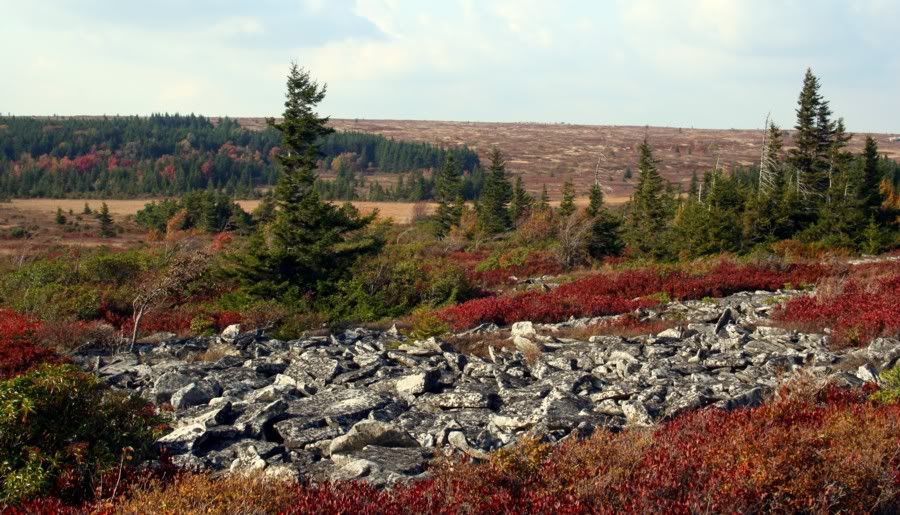
actually the open area in the distacd represents part of the route i took as i was lost in the fog.i got bogged down in what i believe is the strip of spruce on the left.i was travelling right.the photo was taken from the parking lot i eventually stumbl;ed into minutes before bumping into my white truck.
Al

I"m referring to the top pic here
 

whippoorbill

Explorer
Jul 29, 2003
675
121
66
Bridgeton
Real nice Bill, fall is upon us.

Jim

Fall is beautiful. If not for my annual autumn sneezefest (hayfever), it would be my favorite time of the year.

Here's a few other photos from the trip.

The Sods, again; the amazing thing about the Dolly Sods photos you've seen on this thread is that they were taken on one trail. We walked about two hours. The Sods has dozens of walkways, each unique, and just as beautiful.

08sods.jpg


20sods.jpg


21sods.jpg


s.jpg


14sods.jpg


23sods.jpg


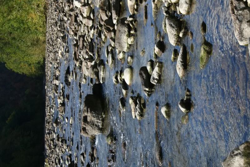
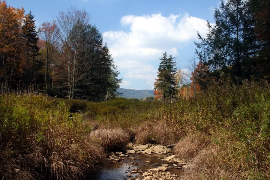
Below are two taken in the North Fork of the Potomac River. The Potomac was one of the few rivers that had water in it in Monongahela. They're hurting for rain. Even this could be rock-hopped from one bank to the other, which we've never been able to do before.

03potomac.jpg


02potomac.jpg


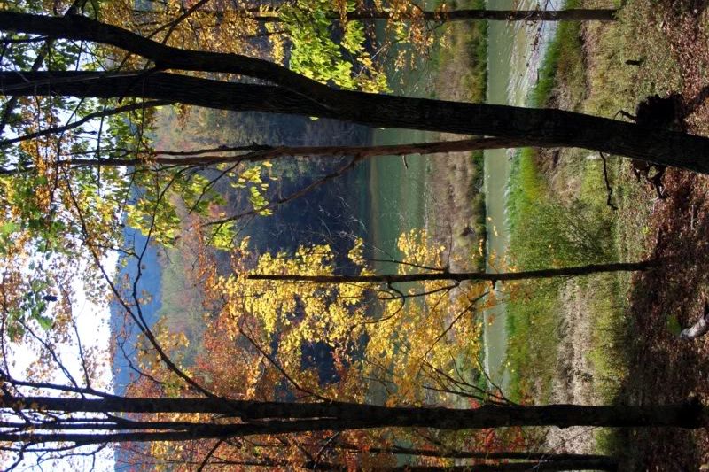
A couple of photos from a scenic area called Lake Buffalo. Most of the tourists were hanging out at the lake, downstream. Experience told me what's upstream is often most worth seeing. Bingo.

02lakebuffalo.jpg


01lakebuffalo.jpg


John Denver got it right ... "Take me home, country roads, to the place I belooooooong! ..." :)
 
Top