Saw Mill Ruins Near Hawkins Bridge

Wick

Explorer
Mar 6, 2016
440
319
Forked River
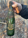
I remember on one of the Boyds maps was a spot north of Hawkins bridge that said "Saw Mill Ruins". I do not see it on any of the maps posted now. I followed a trail in the back of the turn around and it followed the west branch of the wading. I went down to an old trail to the water but it just went to a newer water gauge in the creek. Found a spot with some older bottles in a small cleared area. Another area close to the road had a clean piece of PVC pipe sticking up out of the ground. I know there is not any ruins of a building but figured maybe some bricks or a foundation.


https://boydsmaps.com/#17.00/39.715627/-74.565521/pines2019/0.00/0.00
 
  • Like
Reactions: 66C10 and Boyd

Wick

Explorer
Mar 6, 2016
440
319
Forked River
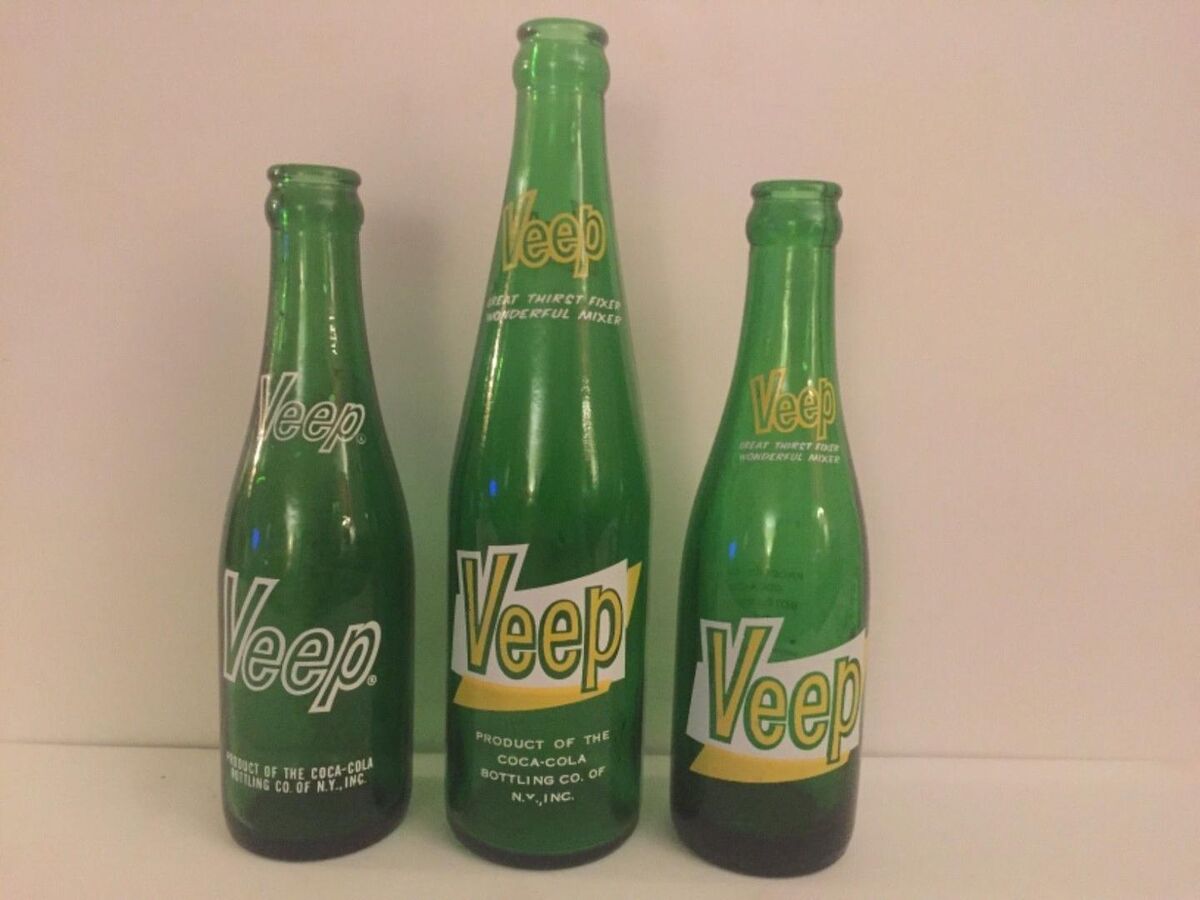
Anyone remember this stuff?
 

Attachments

  • 1718503892834.png
    1718503892834.png
    1.1 MB · Views: 53
  • Like
Reactions: 66C10

Teegate

Administrator
Site Administrator
Sep 17, 2002
25,746
8,381
That sawmill is flush with the ground with short bolts sticking out. It is just a concrete base. We only found it because Bob's walking stick hit it as we passed over it on the Half Wet, Half Dry, All Wild PBX Hike.

 
  • Like
Reactions: Boyd

Boyd

Administrator
Staff member
Site Administrator
Jul 31, 2004
9,601
2,839
Ben's Branch, Stephen Creek
I remember on one of the Boyds maps was a spot north of Hawkins bridge that said "Saw Mill Ruins".

I think you must be remembering a very old Garmin map? I looked as far back as 2012 and didn't see that sawmill on any of my maps. However, when I made my first map of the Pines around 2008, Guy gave me a select list of POI's to include and I recall there were some sawmills on it. Can't find that original file, but after a lot of digging did find an archived legacy NJ POI file and it contains six sawmill locations. I'm sure these must have come from Guy, because I never found any sawmill sites myself.

So, I believe this is the location you had in mind. It's about 800 feet Northeast of the link you posted (although it was named "Remains" and not "Ruins").

Screen Shot 2024-06-16 at 8.36.18 AM.png


Here it is...

https://boydsmaps.com/#17.00/39.716460/-74.563018/pines2023/0.00/0.00

I could post all six of those old sawmill POI if Guy doesn't mind. Here are their general locations.

screenshot-2.png
 
Last edited:
  • Like
Reactions: 66C10 and Wick

Boyd

Administrator
Staff member
Site Administrator
Jul 31, 2004
9,601
2,839
Ben's Branch, Stephen Creek
Are you talking about an online map on my site? If so, I believe my 2020 map is the only one that matches your description. It's a dark-themed topo and it does show historical POI in purple, but that sawmill is not on the map. My old Garmin maps could be viewed with dark colors if you selected "night mode" on a GPS, but not on your computer.

Anyway, I think it's been a long time since you saw that sawmill on my maps. After looking closer, I was able to extract all of Guy's POI from the big legacy file that I found. There were a total of 103 locations, in addition to the sawmills there are some gun clubs, JCRR mileposts and a variety of other things, many of which are well-known.
 
Last edited:

Wick

Explorer
Mar 6, 2016
440
319
Forked River
Are you talking about an online map on my site? If so, I believe my 2020 map is the only one that matches your description. It's a dark-themed topo and it does show historical POI in purple, but that sawmill is not on the map. My old Garmin maps could be viewed with dark colors if you selected "night mode" on a GPS, but not on your computer.

Anyway, I think it's been a long time since you saw that sawmill on my maps. After looking closer, I was able to extract all of Guy's POI from the big legacy file that I found. There were a total of 103 locations, in addition to the sawmills there are some gun clubs, JCRR mileposts and a variety of other things, many of which are well-known.


Yes, it was from a while ago. I had a whole bunch of locations saved over the years, but........... Did not have it saved correctly when you updated recently. Are 103 locations still available on a map?
 
Last edited by a moderator:

manumuskin

Piney
Jul 20, 2003
8,596
2,513
60
millville nj
www.youtube.com
Here it is 2 years later in 2007.
I was about to reply that I found that same concrete slab with a poker stick as well,I may have been with you Guy,I can't remember but it was a long time ago.I remember I or we were looking for it,it wasn't just happenstance.It was not visible like here so it was probably summer.
 
Last edited by a moderator:

bobpbx

Piney
Staff member
Oct 25, 2002
14,355
4,495
Pines; Bamber area
Anyone remember this stuff?
I've never seen that brand. Very interesting. Did you look it up?
 

Teegate

Administrator
Site Administrator
Sep 17, 2002
25,746
8,381
I do not remember that brand. However, in the early 60's my mom never bought soda.
 
Top