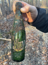
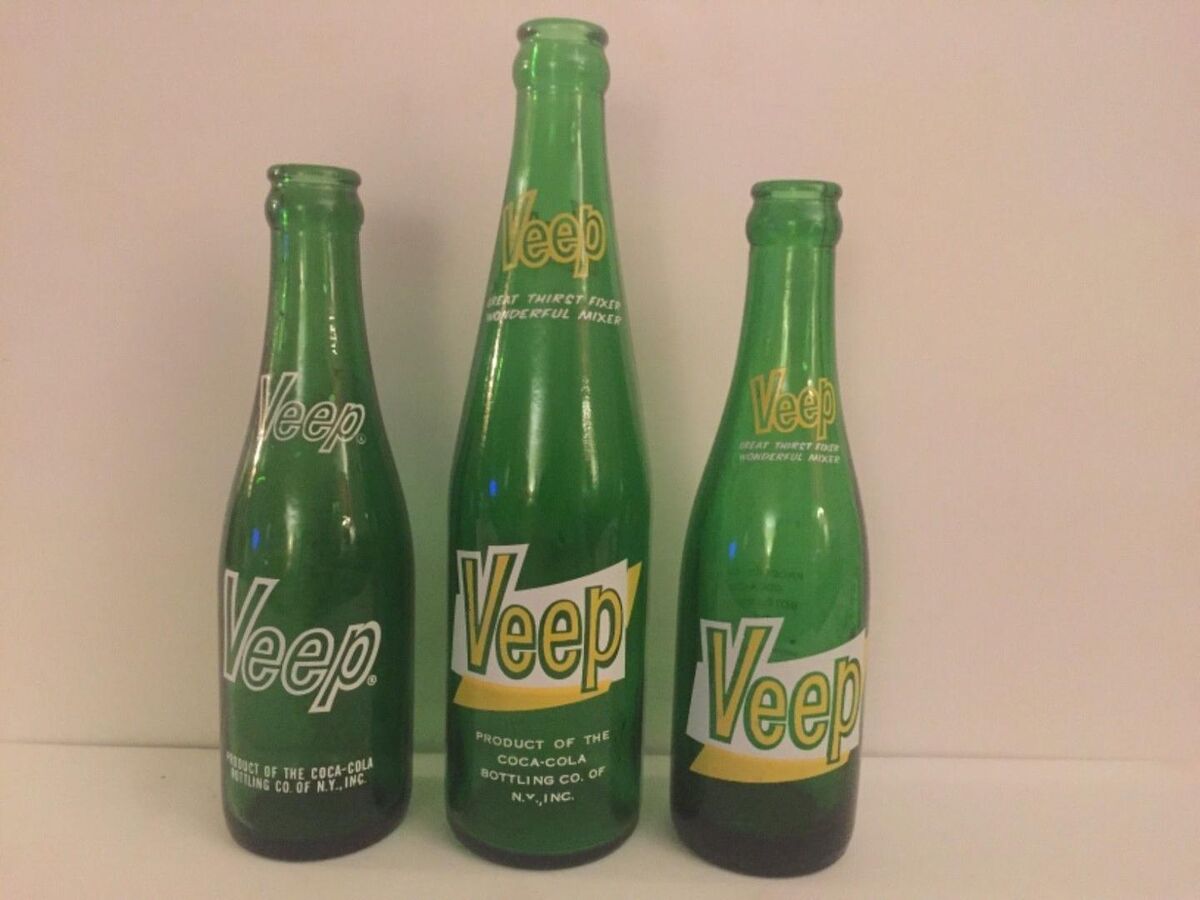
I remember on one of the Boyds maps was a spot north of Hawkins bridge that said "Saw Mill Ruins". I do not see it on any of the maps posted now. I followed a trail in the back of the turn around and it followed the west branch of the wading. I went down to an old trail to the water but it just went to a newer water gauge in the creek. Found a spot with some older bottles in a small cleared area. Another area close to the road had a clean piece of PVC pipe sticking up out of the ground. I know there is not any ruins of a building but figured maybe some bricks or a foundation.
https://boydsmaps.com/#17.00/39.715627/-74.565521/pines2019/0.00/0.00
https://boydsmaps.com/#17.00/39.715627/-74.565521/pines2019/0.00/0.00


