All,
Back on April 4 all the members of PBX received this email from Jeff (Woodjin) about his hike along the Shane Branch. He named it the Bloody Shane because of it's tendency to have briers.
To the troops,
Put on your hip waders and prepare for battle! Running along an ancient cedar swamp and lying a little west of Eagle is the Shane branch. Many moons ago it was converted into a bog system, but now nature has nearly reclaimed it's northern reaches. Let's see whats left before nature swallows it entirely. It will be between 3 and 4 tough and rewarding miles. This isn't much notice, so I am hoping that some can make it. The going might get tough and things could turn bloody. So if you don't mind spilling a little blood, be at Friendship Saturday April 16th at 9am.
Unfortunately, on April 16th the weather was not cooperating so the date was changed to today. We all arrived at Friendship and took Bob's vehicle past Eagle to the beginning of the Shane Branch. This branch begins in the Parker Preserve about 1.5 miles NNW of Eagle and travels all the way to slightly south of Friendship. On this hike was Jeff (woodjin) who designed it, Tom (long-a-coming), Bob (bobpbx), Chris (Hewey), and myself.
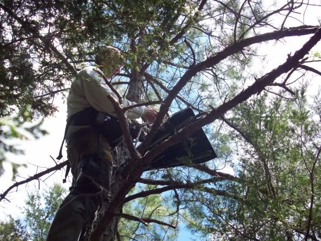
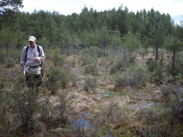
We started our day at the very source at the following link location. The first photo below shows us there, with Bob describing what is happening underneath the ground around us.
http://maps.njpinebarrens.com/#lat=39.7867743395444&lng=-74.57581758499146&z=16&type=h&gpx=

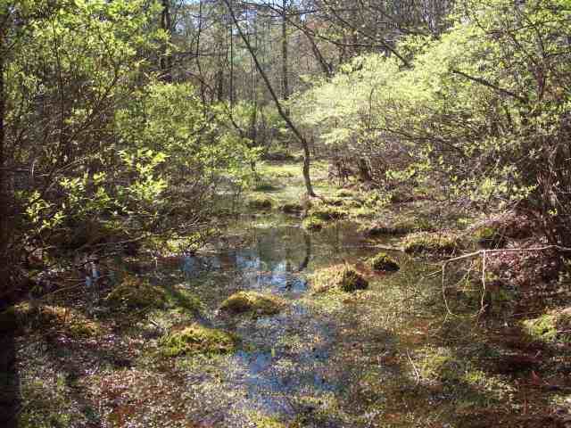
The stream near the source.

As we head south towards Friendship it changes somewhat.

A bridge most likely made by a hunter.

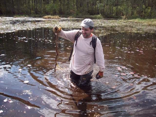
Jeff found this turtle.

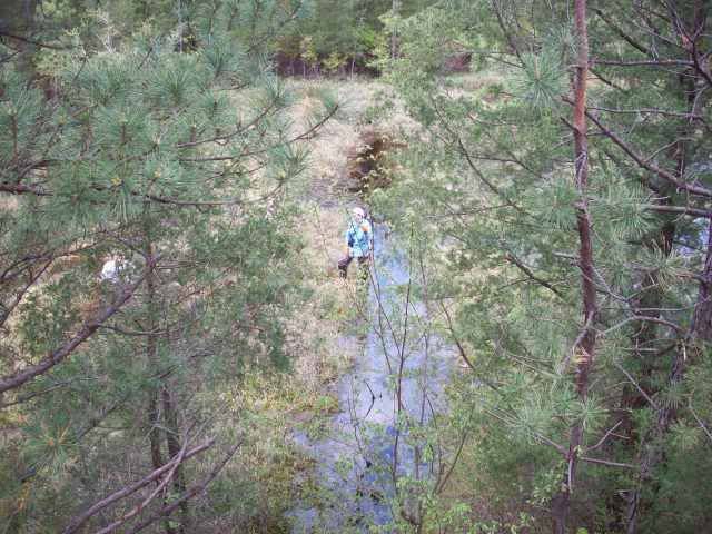
At times it became quite hard to navigate.

One of many old weirs that still exist between the bogs.

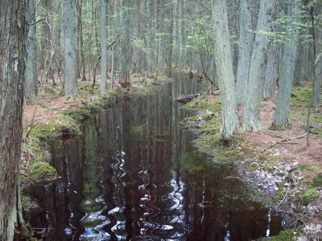
A nice sandy bottom in places.

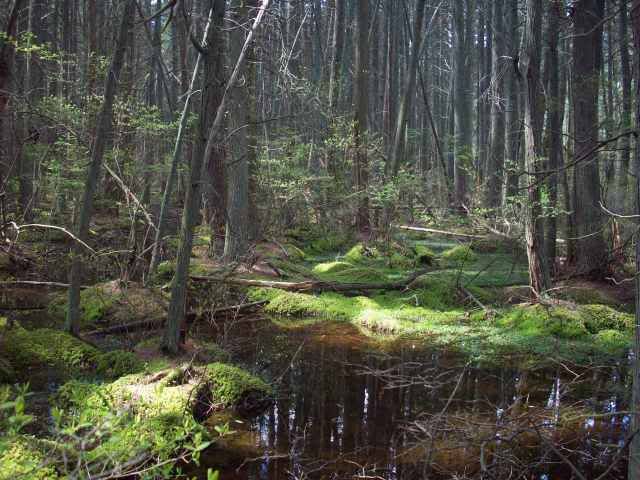
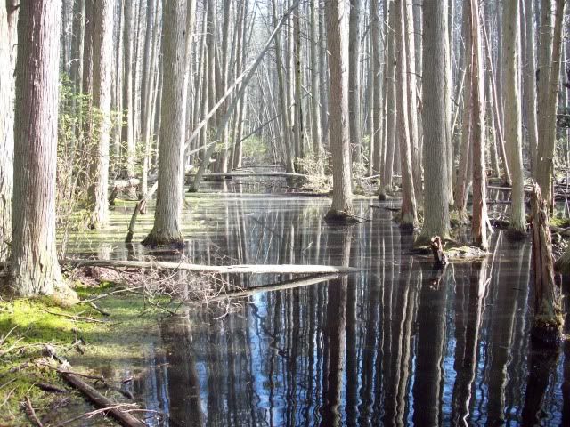
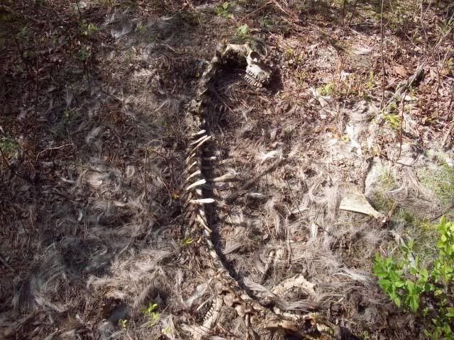
Quite a few nice views along it.


Another weir.

Bob actually fell between these two cedars.

Bob surveying his kingdom.

Jeff and Chris almost to Friendship.

The final moments of the hike.

Our group photo at the end in Friendship.

Our tracks.

Video.
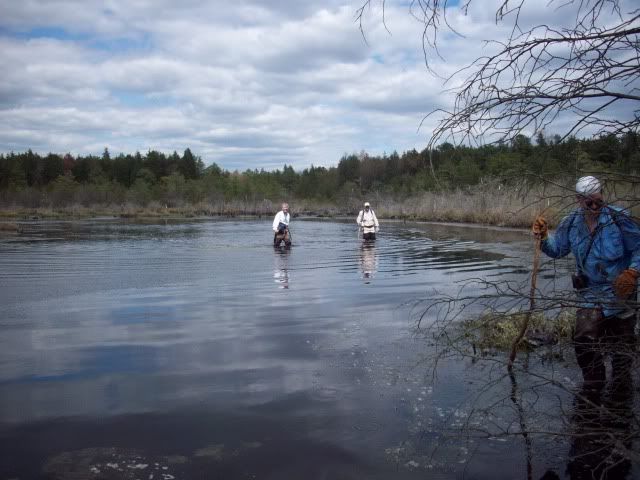
Bob and I discuss if the rest of them will be able to make it across the water they will be coming to.
http://www.youtube.com/watch?v=snqS7OKAbn0
After realizing they will make it we moved forward. There are unseen depressions along the way.
http://www.youtube.com/watch?v=ng2Ff3WufO0
And the final push just before Friendship.
http://www.youtube.com/watch?v=tK-JtH4iFZs
Because of the perfect day, Jeff's great design, and the many nice places we visited along the way, I rated this a 9.5 out of 10. The Bloody Shane can take my blood anytime!
Guy
Back on April 4 all the members of PBX received this email from Jeff (Woodjin) about his hike along the Shane Branch. He named it the Bloody Shane because of it's tendency to have briers.
To the troops,
Put on your hip waders and prepare for battle! Running along an ancient cedar swamp and lying a little west of Eagle is the Shane branch. Many moons ago it was converted into a bog system, but now nature has nearly reclaimed it's northern reaches. Let's see whats left before nature swallows it entirely. It will be between 3 and 4 tough and rewarding miles. This isn't much notice, so I am hoping that some can make it. The going might get tough and things could turn bloody. So if you don't mind spilling a little blood, be at Friendship Saturday April 16th at 9am.
Unfortunately, on April 16th the weather was not cooperating so the date was changed to today. We all arrived at Friendship and took Bob's vehicle past Eagle to the beginning of the Shane Branch. This branch begins in the Parker Preserve about 1.5 miles NNW of Eagle and travels all the way to slightly south of Friendship. On this hike was Jeff (woodjin) who designed it, Tom (long-a-coming), Bob (bobpbx), Chris (Hewey), and myself.
We started our day at the very source at the following link location. The first photo below shows us there, with Bob describing what is happening underneath the ground around us.
http://maps.njpinebarrens.com/#lat=39.7867743395444&lng=-74.57581758499146&z=16&type=h&gpx=
The stream near the source.
As we head south towards Friendship it changes somewhat.
A bridge most likely made by a hunter.
Jeff found this turtle.
At times it became quite hard to navigate.
One of many old weirs that still exist between the bogs.
A nice sandy bottom in places.
Quite a few nice views along it.
Another weir.
Bob actually fell between these two cedars.
Bob surveying his kingdom.
Jeff and Chris almost to Friendship.
The final moments of the hike.
Our group photo at the end in Friendship.
Our tracks.
Video.
Bob and I discuss if the rest of them will be able to make it across the water they will be coming to.
http://www.youtube.com/watch?v=snqS7OKAbn0
After realizing they will make it we moved forward. There are unseen depressions along the way.
http://www.youtube.com/watch?v=ng2Ff3WufO0
And the final push just before Friendship.
http://www.youtube.com/watch?v=tK-JtH4iFZs
Because of the perfect day, Jeff's great design, and the many nice places we visited along the way, I rated this a 9.5 out of 10. The Bloody Shane can take my blood anytime!
Guy