Trail Work at Friendship 2/11

TommyP

Explorer
Mar 30, 2022
203
191
Clementon
thomaspluck.substack.com
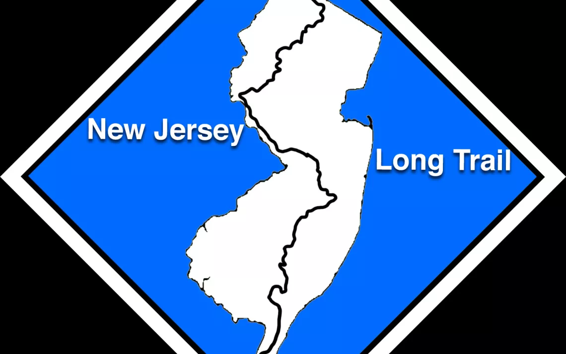
I am joining a DEP group to help blaze a new trail near Friendship, tomorrow morning at 9:30am. I'll take some photos and try to get some GPS coordinates of where we work.
I wanted to get out there and help without giving my labor to groups that are actively trying to restrict my access to the forest. Maybe that includes the DEP? :lol:
 
We hike Friendship often. The bogs are getting overgrown. A new trail would be great. Please report back.
 
We had fun cutting more of the blue trail that runs through Friendship. They are moving it off of Friendship-Hawkins Bridge Road.
It's really beautiful out there.
The roads are really dry right now, I made it from Friendship to Washington Turnpike and the deepest washout was maybe 5 inches? I used one go-around, that one might have been deeper. But I couldn't traverse it last time I tried, the Subaru has 9.5 inches of clearance but some were over a foot deep in spring.
So if some place is hard to get to because of washouts, now is the time to see if you can make it.
 
  • Like
Reactions: stiltzkin
I followed the Blue Trail to the top of Apple Pie Hill, but where does it start in the south?
 
fixed_screenshot.jpg
 
Last edited by a moderator:
  • Love
Reactions: TommyP
You can make that smaller by editing it. Click on it and drag the corners in. If you can't, just remove it and type the pertinent part of it.
 
Welcome to the site @yeager ! As Bob suggested, please try not to post very large attachments unless there's a good reason (such as a map with lots of fine detail, for example). I fixed this in your post above. But for something like this, IMO it would be better to just post a link to the source of the screenshot, which is apparently here:

 
That is quite an ambitious project. The currently blue marked trail never gets near High Crossing or Lower Forge. There has been a massive amount of clearing the roads around Friendship bogs this month.
This is my markup of the DEP map. I added the blue line to show the current Blue Trail and, where the forementioned work party was, from the town of Friendship south along the Friendship - Hawkin Bridge Road. It does cross Hawhin Bridge. BTW, I never heard of the Batona River.
Dep map marked.jpg
 
  • Like
Reactions: Boyd
I believe that the blue blazed trail that goes through Friendship is listed as the "Sandy Ridge - Tulpehocken Trail" on the current Wharton trail map. It begins at Apple Pie Hill on the Northern end, and rejoins the Batona trail along the Batsto river north of the settlement of Batsto on its southern end, covering 18.2 miles. It is marked by the blue/white dashed line on the Wharton map.


The way I read the link pertaining to the "NJ State Long Trail" above, it is simply using a 22 mile portion of the already existing Batona trail.