Union Clay Works Railroad?

Mudtrudger

New Member
Feb 4, 2009
27
0
Coastal Monmouth
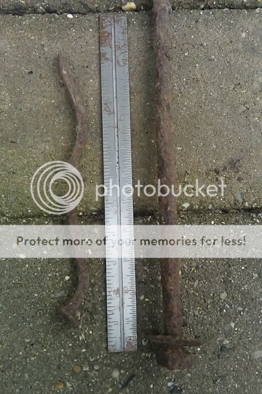
A friend and I were mucking around in Greenwood a week ago and came upon what I first took to be a series of small cellar holes. After noticing they were all in a row on either side of a raised treadway, I realized that they were probably mini-quarry holes used to mine material to build up the road bed for heavy hauling. We continued along the way and saw numerous additional small holes, as well as small trenches along either side.

The path was quite straight and continued all the way to Pasadena Road quite near the old Brookbrae Works. We came to this road from the east and followed it north only. It also continued in the other direction toward the Union Clay Pit but we didn't follow it that way due to lack of time.

On Beck's first trip to the Union Clay Pits, he said he drove along the route of the narrow guage railroad. Could this be what we stumbled on? He said the rails were gone and they bounced along over the ties. Eighty years on or so, we saw no sign of ties.

Does anyone have any info on this railroad.

Thanks
 

Teegate

Administrator
Site Administrator
Sep 17, 2002
25,603
8,181
The road (tracks) Beck was referring to goes from the back of the present sand plant to each lake at Old Half Way. You were not on that road. You can see the route it took in the 1931 aerial from this site. The tracks went from the station at Woodmansie to both lakes.

Give this time to load.


http://maps.njpinebarrens.com/#lat=39.86162545641596&lng=-74.44374561309814&z=15&type=nj1930&gpx=


And as it looks today.


http://maps.njpinebarrens.com/#lat=39.86162545641596&lng=-74.44374561309814&z=15&type=k&gpx=


Guy
 

manumuskin

Piney
Jul 20, 2003
8,552
2,465
59
millville nj
www.youtube.com
Thanks Guy,

Do you think the road we stumbled on may have had something to do with the works on Pasadena Road?

I know the road you speak of.I travelled it myself and assumed those holes were cellar holes.at the end of the road about a half mile back off pasadena road there was an old car skeleton.this was an easy ten years ago.I thought these might be the cottages the pasadena workers lived in?
Al
 

Mudtrudger

New Member
Feb 4, 2009
27
0
Coastal Monmouth
Al, if we are talking about the same road, the car was on end in a hole, heavily rusted and peppered with shot. I first saw it about 10 years ago as well. About a year ago it was gone and had been replaced by a pile of about 20 tires.

When you follow the road to the south, away from Pasadena, it comes out on the road some locals call the feed line. The part of the road that is new to me is the section south of the feed line. When you climb up from the feed line into the trees you find a built up road bed with shallow ditches on either side, and the occasional mini-quarries. In most cases they are immediately adjacent to the road bed which is why I don't think they are cellar holes.

It seems that a lot of effort was invested in building that part of the road. I think they must have been hauling something heavy north towards the railroad at Pasadena.

The grade of the north-south road is more than a foot above the feed line road which has been cut down through the older road.

The portion of the road south of the feed line is not easy to see but somebody has used blue paint blazes to mark it.
 

woodjin

Piney
Nov 8, 2004
4,338
326
Near Mt. Misery
Interesting thread. I can't recall if I have been on that road you are referring to but I might have. Did you check it out on 1930 aerials?
 

Mudtrudger

New Member
Feb 4, 2009
27
0
Coastal Monmouth
Good idea Woodjin, it shows there clearly. It is the white line running SSE from the western end of Brookbrae. After crossing the railroad tracks, the intersection with the road curving south and east from the Bullock crossing is where the rusted car used to be. The next intersection is the approximate location of the road that I refered to as the feed line road.

Here is the link to the aerial:

http://maps.njpinebarrens.com/#lat=39.88135462948031&lng=-74.43318843841553&z=15&type=nj1930&gpx=
 

Teegate

Administrator
Site Administrator
Sep 17, 2002
25,603
8,181
Ben and I were on that road a few years back and there was a boat at the end of it.

Guy
 

Mudtrudger

New Member
Feb 4, 2009
27
0
Coastal Monmouth
That's a good idea woodjin. I did look at the aerial and the old road appears running SSE from the west corner of the Clay Works at Pasadena.

The spot where the rusted out car used to be is at an intersection with a road curving south and east from the railroad at Bullock, The next intersection is with a road that closely follows the route of the current rye field lined road which meets 539 between Chamberlin Branch and Webbs Mill Branch. (The Feed-Line)

The southern-most portion has the blue blazes and seems to be least disturbed.
 

Mudtrudger

New Member
Feb 4, 2009
27
0
Coastal Monmouth
An update!

I have now traced the old road bed south more than a mile from Pasadena and am more convinced than before that it is either a narrow gauge rail bed or a heavy hauling road.

Does anyone have any info on the type of construction techniques that would have been used around the time of Brooksbrae for this type of road? I imagine some sort of mechanical shovel being used.
 

Teegate

Administrator
Site Administrator
Sep 17, 2002
25,603
8,181
I believe Jerseyman has a book in his collection that shows the shovels at Old Half Way. Might have been the same ones.

Guy
 

Teegate

Administrator
Site Administrator
Sep 17, 2002
25,603
8,181
If they were a narrow gage route, I doubt they were used to remove anything from Old Half Way. The first page of Beck’s chapter on Old Half Way mention the route was directly from Woodmansie.

Guy
 

Mudtrudger

New Member
Feb 4, 2009
27
0
Coastal Monmouth
I am not talking about the route from Woodmansie, to Old Half Way. I guess the thread name should be changed. This road is from Brooksbrae in Pasadena and was probably built to bring clay there, if it was ever completed. There is one place where the road was built up more than 3 feet above the surrounding land.

Due to the distance between the road and the small quarry holes along the route, I imangine that some kind of small power shovel worked from the completed road bed to scoop sand from either side to build up the bed ahead as they worked their way south toward the clay pits. In some places there are larger holes which may have required some other type of excavation.
 

Teegate

Administrator
Site Administrator
Sep 17, 2002
25,603
8,181
I know the road are referring to. I am am referring to your first post where you were questioning if that was the narrow gage rail that Beck used. That line ran from Woodmansie.

I have photo's somewhere of your road. I will look for them.

Guy
 

mx174k

New Member
Aug 13, 2005
17
0
48
Tabernacle
Mudtrudgerborder I have now traced the old road bed south more than a mile from Pasadena and am more convinced than before that it is either a narrow gauge rail bed or a heavy hauling road. Does anyone have any info on the type of construction techniques that would have been used around the time of Brooksbrae for this type of road? I imagine some sort of mechanical shovel being used.[/QUOTE said:
The old road bed is littered with small railroad spikes and other hardware witch I belive could have been from a narrow gauge railroad.
utf-8BSU1BRzAwMjQuanBn.jpg
http://i551.photobucket.com/albums/ii472/mx174k/pbx/utf-8BSU1BRzAwMjQuanBn.jpg<a href="http://s551.photobucket.com/albums/ii472/mx174k/pbx/?action=view&current=utf-8BSU1BRzAwMjQuanBn.jpg" target="_blank"><img src="http://i551.photobucket.com/albums/ii472/mx174k/pbx/utf-8BSU1BRzAwMjQuanBn.jpg" border="0" alt="Photobucket"></a>
utf-8BSU1BRzAwMjQuanBn.jpg
 

Teegate

Administrator
Site Administrator
Sep 17, 2002
25,603
8,181
I have quite a few old survey maps of that area and none of them show anything. I wish they did.


Guy
 

mx174k

New Member
Aug 13, 2005
17
0
48
Tabernacle
This thread has been eating at me for quite some time.I did'nt want to post without any pics.Every five feet or so there is a pile of spikes and hardware.I have some time before the turkey is done so I'm taking a ride.The road does seem to dead end.Maybe it was never finished?
 

Teegate

Administrator
Site Administrator
Sep 17, 2002
25,603
8,181
Looking over my surveys I can't see how it could have made it to the pits. The reason is there are multiple property owners along the route. Maybe it was felt the properties would be acquired and that never occurred. If so I would bet the road ends at the end of the property which is about where my surveys show it.

I will see if I can clean it up and post it. There are some things I don't want shown on it.


Guy
 
Top