Our first stop this morning was at Coyle Field. I saw a photo on Facebook from a hill at that location where I have visited many times. Here is a photo just before sunset I took on 8/8/2004.

We had gone there to specifically watch the sunset.

Anyway, I decided to take a photo from a different location which shows the hill we were on that evening. If you can, view it full screen.

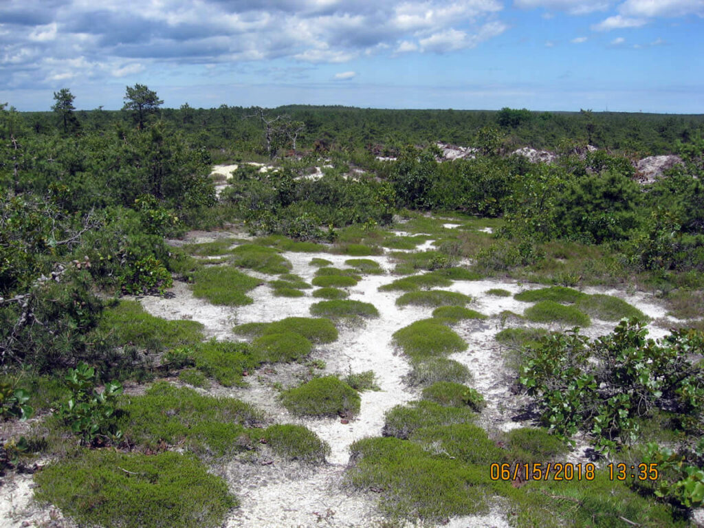
From there we visited a location the two of us have been going to for almost 20 years. Today for the first time we saw more than the usual evidence of Coyotes, either playing or doing something else.

We then traveled to Webb's Mill and checked on the beaver dam. Various individuals, known and unknown, have been working hard to keep it open, and doing a great job! From my dash cam.

Then to Stafford Forge where we searched for a stone. Right where we ended up along a dirt road we came upon a chunk of concrete with the blue paw prints we discussed in the past.
Then we visited this new cut in the woods that apparently is a rye field. Maybe.
It turns out there is another one just above it that has been recently made.

My top tracks head to the new field not shown on the new aerials.

We had gone there to specifically watch the sunset.
Anyway, I decided to take a photo from a different location which shows the hill we were on that evening. If you can, view it full screen.
From there we visited a location the two of us have been going to for almost 20 years. Today for the first time we saw more than the usual evidence of Coyotes, either playing or doing something else.
We then traveled to Webb's Mill and checked on the beaver dam. Various individuals, known and unknown, have been working hard to keep it open, and doing a great job! From my dash cam.
Then to Stafford Forge where we searched for a stone. Right where we ended up along a dirt road we came upon a chunk of concrete with the blue paw prints we discussed in the past.
Then we visited this new cut in the woods that apparently is a rye field. Maybe.
It turns out there is another one just above it that has been recently made.
My top tracks head to the new field not shown on the new aerials.
Last edited: