Originator: New Jersey Department of Environmental Protection (NJDEP), Green Acres
Publication_Date: 1995
Title: NJDEP State Owned, Protected Open Space and Recreation Areas in New Jersey
Edition: 2005
Geospatial_Data_Presentation_Form: vector digital data
Publication_Information:
Publication_Place: Trenton, NJ
Publisher: Green Acres
Other_Citation_Details: This version is current to the end of 200412.
Online_Linkage: <http://www.state.nj.us/dep/gis/digidownload/zips/statewide/newstate.zip>
Description:
Abstract:
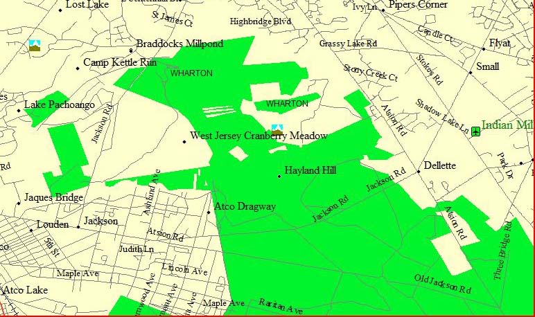
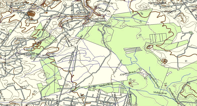
This data set contains protected open space and recreation areas owned in fee simple interest by the State of New Jersey Department of Environmental Protection (NJDEP). Types of property in this data layer include parcels such as parks, forests, historic sites, natural areas and wildlife management areas. The data was derived from a variety of source maps including tax maps, surveys and even hand-drafted boundary lines on USGS topographic maps. These source materials vary in scale and level of accuracy. Due to the varied mapped sources and methods of data capture, this data set is limited in its ability to portray all open space lands accurately, particularly the parcels purchased prior to 1991.
Purpose:
To provide Natural and Historic Resource Divisions in NJDEP with a manageable, graphic inventory of state owned and protected open space throughout New Jersey. It serves as a valuable tool in land acquisition decisions and is NOT to be used for describing actual or true property ownership title.
Supplemental_Information:
A detailed discussion of specific procedures used to create and update this inventory of state owned and protected open space is included in the Mapping_Methodology.doc contained in the downloadable ZIP file. Please read it prior to using the data set to better understand limitations and intended use.


 .
.
 igfly
igfly