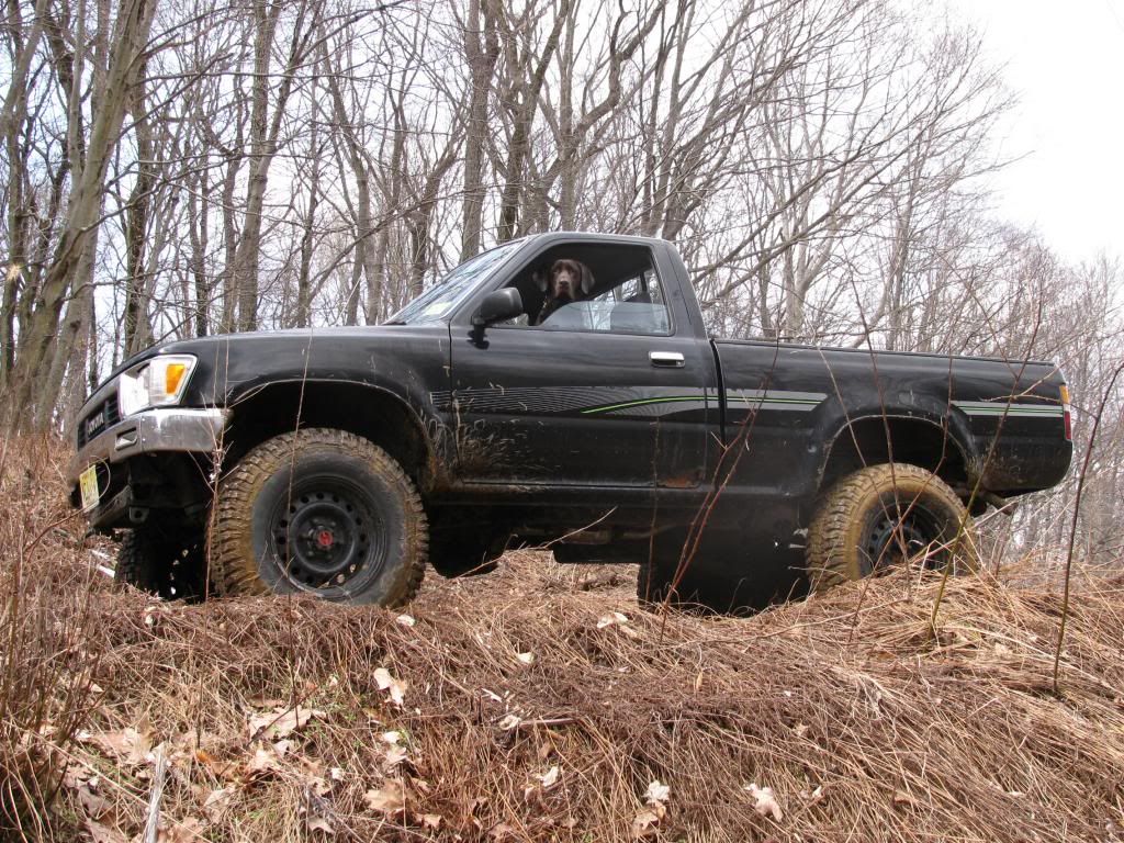
I'll be camping with some friends in/near Bass River (Pilgrim Lake Campground) this weekend and want to do some exploring while we're there. I've been through Wharton a few times but never to Bass River. Boyd was kind enough to walk me through loading up my Garmin Nuvi with his maps so I'll be better equipped to navigate, but I'm wondering what is passable and what is not. My beater Toyota 4x4 is quite narrow and I'm not at all worried about "pinestriping," but my buddy who will be accompanying me in his fairly new Jeep feels differently  Likewise, he'd like to avoid any water or mud deeper than about the hubline. We're just looking to get out in the woods and possibly see something interesting-ruins, abandoned bogs, etc... Just fooling around in Google Maps I mapped out this track:
http://goo.gl/maps/lFy3V
I figure it might be nice to take a look at/take a dip in either Martha Pond or Harrisville Pond, however, you'll notice that the route appears to cross private property and it skirts private property to the north. Any issues with road closures/blockages? I searched "Martha Road" and came up with a post from 2007 about a gate that had been erected at some point. Then there are a few interesting things along the way:
At first glance this seems to be a development given the property lines and road ROWs:
http://goo.gl/maps/bHOXQ
Switching to satellite view reveals that there's nothing there:
http://goo.gl/maps/H6jm1
There are a couple of small clearings to the south of the roadway. These are the kinds of things that I'd be looking to investigate. Maybe they're nothing, but just the same it will be an enjoyable way to spend a Saturday. Feel free to suggest alternate routes we should explore. Our camp is just off of Stage Road near Lake Absegami.
 Likewise, he'd like to avoid any water or mud deeper than about the hubline. We're just looking to get out in the woods and possibly see something interesting-ruins, abandoned bogs, etc... Just fooling around in Google Maps I mapped out this track:
http://goo.gl/maps/lFy3V
I figure it might be nice to take a look at/take a dip in either Martha Pond or Harrisville Pond, however, you'll notice that the route appears to cross private property and it skirts private property to the north. Any issues with road closures/blockages? I searched "Martha Road" and came up with a post from 2007 about a gate that had been erected at some point. Then there are a few interesting things along the way:
At first glance this seems to be a development given the property lines and road ROWs:
http://goo.gl/maps/bHOXQ
Switching to satellite view reveals that there's nothing there:
http://goo.gl/maps/H6jm1
There are a couple of small clearings to the south of the roadway. These are the kinds of things that I'd be looking to investigate. Maybe they're nothing, but just the same it will be an enjoyable way to spend a Saturday. Feel free to suggest alternate routes we should explore. Our camp is just off of Stage Road near Lake Absegami.


