Forest Fire at Atsion
- Thread starter ecampbell
- Start date
You are using an out of date browser. It may not display this or other websites correctly.
You should upgrade or use an alternative browser.
You should upgrade or use an alternative browser.

Don,
This is the Mark Munyon property at the link. Take notice in your map below that the property around it are the Fruitland lots adjacent to it.
http://maps.njpinebarrens.com/#lat=39.75945736916457&lng=-74.71982974212648&z=16&type=hybrid&gpx=

Guy
This is the Mark Munyon property at the link. Take notice in your map below that the property around it are the Fruitland lots adjacent to it.
http://maps.njpinebarrens.com/#lat=39.75945736916457&lng=-74.71982974212648&z=16&type=hybrid&gpx=
Guy
Don,
Make sure you contact me in the fall because I have enough info here to find many of the corners in that area. I actually have found quite a few or wanted to look for quite a few and did not know they were part of Fruitland. So give me a push in the fall and maybe we can work on this together. Al gave me a push once that was very productive. Now I need you to do that also.
Make sure you contact me in the fall because I have enough info here to find many of the corners in that area. I actually have found quite a few or wanted to look for quite a few and did not know they were part of Fruitland. So give me a push in the fall and maybe we can work on this together. Al gave me a push once that was very productive. Now I need you to do that also.

I canoed/waded Springers brook from hampton Road to almost the Batsto River when i was 14 and bailed about half a mile before they connected.It was quite bad.There is no stone bridge and I remember no abutments.Possibly a wooden bridge at one time.I didn't know enough back then to recognize a row of cedar poles as an old bridge,I wouldn't remember that but no stone bridge I would remember that.
Don,
This is the Mark Munyon property at the link. Take notice in your map below that the property around it are the Fruitland lots adjacent to it.
http://maps.njpinebarrens.com/#lat=39.75945736916457&lng=-74.71982974212648&z=16&type=hybrid&gpx=
Guy
Guy, although the Fruitland lots of the 1860s did extend into this area I believe you will find that these lots are from the Raleigh Land & Improvement Co. of the 1880s. Unless you have different info, I don't know about.
I know the folks that own all the bogs around Mark Lemunyon. In fact I know Mark Lemunyon. Not the original Mark Lemunyon but his great grandson. Mark's father Bob Lemunyon lived there for years, he passed a few years ago. I was going to help him restore the old cranberry packing house, which everyone calls a barn, but Bob got sick and we never did. I didn't know Young Mark to well, he lives in Cape May, haven't seen him in years. That property has been in the Lemunyon family since time began, the Atsion property went around it.
Don,
Make sure you contact me in the fall because I have enough info here to find many of the corners in that area. I actually have found quite a few or wanted to look for quite a few and did not know they were part of Fruitland. So give me a push in the fall and maybe we can work on this together. Al gave me a push once that was very productive. Now I need you to do that also.
We really need a Fruitland Survey.
I canoed/waded Springers brook from hampton Road to almost the Batsto River when i was 14 and bailed about half a mile before they connected.It was quite bad.There is no stone bridge and I remember no abutments.Possibly a wooden bridge at one time.I didn't know enough back then to recognize a row of cedar poles as an old bridge,I wouldn't remember that but no stone bridge I would remember that.
manumuskin, you are a much wiser man today, this may require another canoe trip.
I accidently had my dad drop me and my cousin off into the wrong stream.I only had them map in John parnes "Canoing the NJ Pine Barrens".I didn't know what a topo was back then.My dad thought it didn't look canoeable but the map said it was the first river up hampton gate road....it lied.I put into Sringers Brook by mistake.We were out of the canoe much more then in dragging the boat behind us.A half mile before it actually dumped into the batsto we pulled out of the swamp on the west side of the creek after stashing the canoe.We walked to batsto using sand roads paralleling the swamp and crossing at Quaker bridge and using the BT and the road to batsto.My dad was pissed i left the canoe but I took him right to the spot in the dark at Midnight by now and walked into the swamp with flashlights and retrieved the canoe. He was amazed that i could even find it let alone first try.I had secretly marked the roadside with a small teepee of sticks.I never told him.To this day He thinks I"m a navigational wizard.There was no stone bridge nor anything else that smacked of man that i could remember but there are about a million liftovers between Hampton Road and the Batsto that you could use to croos if you choose")
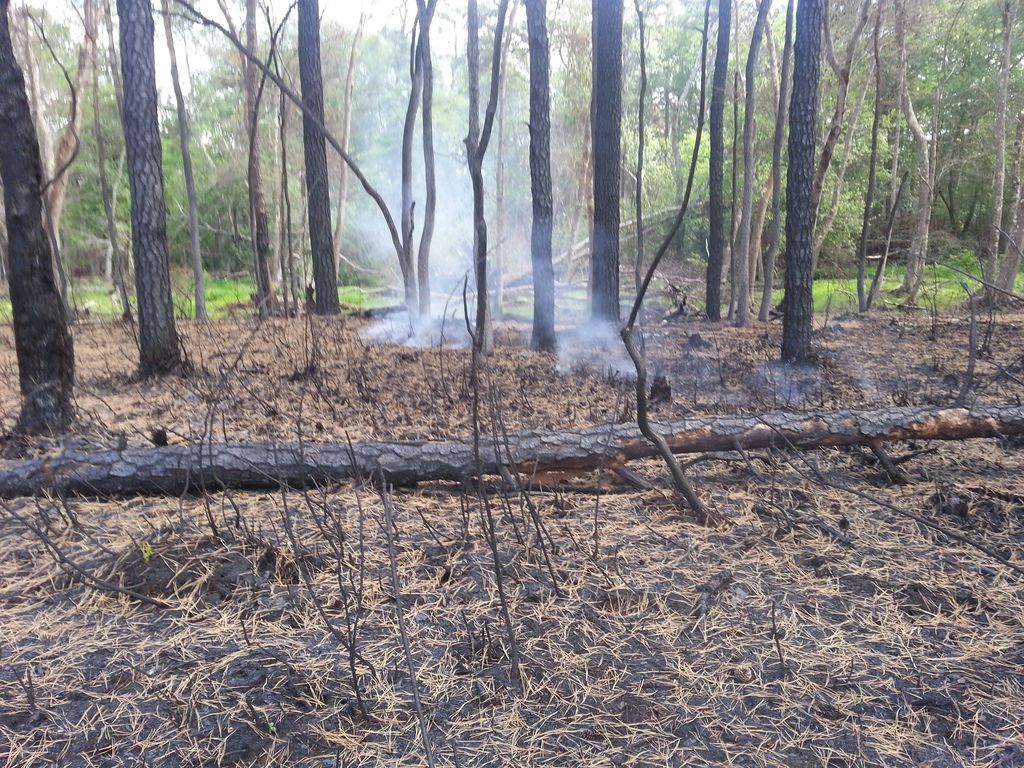
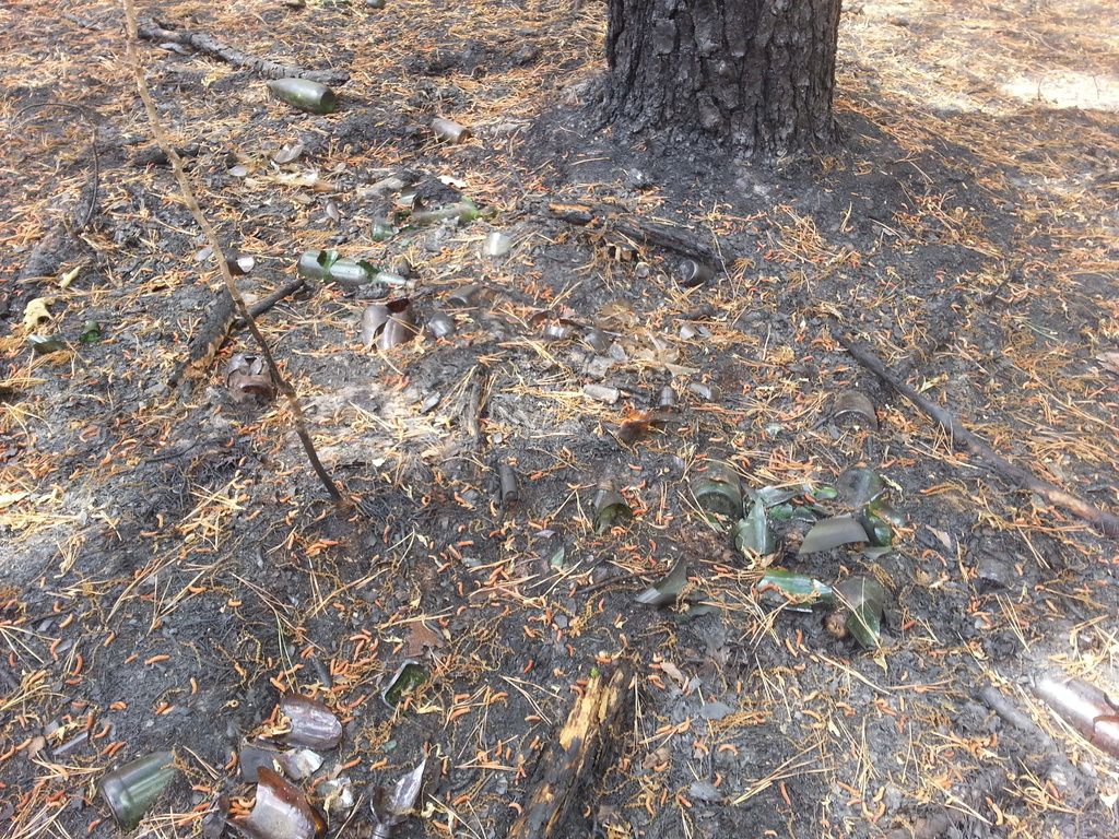
There are still hot spots (logs) burning. This is from this morning.
By the way, for everyone that was worried about the forest fire killing all the deer flies and putting them on the endangered list, I got good news for you. They are alive and doing well, I think the fire just made them a little more hungry. Don

The dead pine needles are falling on the smoldering logs.

By the way, for everyone that was worried about the forest fire killing all the deer flies and putting them on the endangered list, I got good news for you. They are alive and doing well, I think the fire just made them a little more hungry. Don
The dead pine needles are falling on the smoldering logs.