Garmin discontinues the Oregon series and some others

Boyd

Administrator
Staff member
Site Administrator
Jul 31, 2004
10,085
3,167
Ben's Branch, Stephen Creek
No more Oregons and the Montana 600 series is also gone, now they only have the very expensive, huge Montana 700 "bricks". Wonder if this is just a sign of the shrinking market or if some new series is on the way?


Boyd

Administrator
Staff member
Site Administrator
Jul 31, 2004
10,085
3,167
Ben's Branch, Stephen Creek
No, don't know anything about it, just saw it mentioned on another forum. It's possible that they are going to announce a replacement, but seems odd they wouldn't wait until afterwards to discontinue. Perhaps a realignment their product lines. Handhelds are becoming less important, they make most of their money on fitness-oriented and wearable devices these days.

OTOH, I could be reading this wrong. On this page they show the Oregon and Montana 6xx as "previous models" but not "discontinued". So perhaps new models are actually coming?


On the other site, they posted a link to this page that clearly shows them as discontinued. That page is on their Phillipines site though, I don't see it on the US site.


But you also have to consider that Garmin is a monopoly in the handheld market. Magellan is long gone (Al is like the last man standing :D ) and Garmin bought DeLorme and discontinued their handhelds. So they can do whatever they like with their handhelds and sell the models with the biggest profit margins without having to compete with other brands.
 
Last edited:

RednekF350

Piney
Feb 20, 2004
5,130
3,487
Pestletown, N.J.
I will never part with my Garmin 60CSX. I lost my first one years ago when it apparently took flight along an unknown highway from the lid of my truck box. I then permanently borrowed my son's.

In my opinion, The 60CSX is the most intuitive piece of navigation electronics ever made. Instructions can be promptly discarded upon purchase. I have the US topo chip for he woods and a BlueChart chip for off shore. Garmin told me the BlueChart wouldn't work in the 60 but the eBay seller I bought it from said it would and it did !
 
  • Like
Reactions: Boyd

Boyd

Administrator
Staff member
Site Administrator
Jul 31, 2004
10,085
3,167
Ben's Branch, Stephen Creek
Still have mine, it has been awhile since I used it though. The design was the best in its day and I still love the overall look and feel, but better screens and faster processors on newer devices are a big improvement. It is interesting to see that Garmin is still selling the GPSMap 64, 65 and 66 series that are the descendants of the 60csx. The pushbutton design is evidently still popular.

You can use my 2018 Map of NJ on your 60csx, I tested it on mine and even provided a special configuration file to make the map more readable on the small screen. It includes a full installation tutorial. Get it while you can, I am discontinuing all these older maps. :)

https://boydsmaps.com/boyds-map-of-new-jersey-2018/
 
Last edited:
  • Like
Reactions: RednekF350

RednekF350

Piney
Feb 20, 2004
5,130
3,487
Pestletown, N.J.
I downloaded the Windows version and then updated Mapsource, thinking I would need that to view them. I can't seem to find any maps but then again I am challenged. Should I have downloaded the Map version ??
 

Boyd

Administrator
Staff member
Site Administrator
Jul 31, 2004
10,085
3,167
Ben's Branch, Stephen Creek
Did you run the Windows installer? That should do everything you need, the map should be listed on the dropdown menu in Mapsource. Should work the same in Basecamp too. There's a README file included with the Windows version that covers the whole process and has screenshots.

The File version is optional. It's just the map file for the GPS itself, so that you don't have to use Mapsource to send the map to the GPS. You can just copy the file directly to your memory card. Again, there should be instructions included.
 
  • Like
Reactions: RednekF350

Boyd

Administrator
Staff member
Site Administrator
Jul 31, 2004
10,085
3,167
Ben's Branch, Stephen Creek
Cool! :cool: If anyone else wants this map, this is the last call. It will be removed later today or tomorrow as part of the transition of the site away from Wordpress. And that will be the end of my maps for Garmin devices (at least for now).
 

Boyd

Administrator
Staff member
Site Administrator
Jul 31, 2004
10,085
3,167
Ben's Branch, Stephen Creek
but then again I am challenged.

Scott, there's an important caveat I should have mentioned here before. Old devices like your 60csx can only access one map file and it must be named gmapsupp.img. The problem with this is, if you already have maps on your 60csx and then send my map to it, a new gmapsupp.img file will be created and it will replace the existing one on your memory card. So whatever maps you previously had installed on that card will be deleted and (IIRC) Mapsource doesn't even warn you about this.

Basecamp/MapInstall is more modern and *may* be able to just add my map to any existing ones but I'm not 100% sure on that. Anyway, the safest way to install my map would be to put it on a separate memory card. There are other ways to combine multiple maps into a single gmapsupp.img file, but that gets complicated. Newer Garmin devices can have multiple map files, which makes this a bit easier.

This is a good example of why I no longer want to support maps for Garmin GPS'es. :D
 
  • Like
Reactions: RednekF350

Teegate

Administrator
Site Administrator
Sep 17, 2002
26,209
9,041
My first GPS will always be my favorite: the Garmin GPSMap V. I wish I still had a backup of all of the locations I marked on the maps back then.
I seem to remember one GPS you had that yelled at us when you made a wrong turn. Am I remembering correctly?
 

Boyd

Administrator
Staff member
Site Administrator
Jul 31, 2004
10,085
3,167
Ben's Branch, Stephen Creek
Pretty sure all it could do was beep. :D Here's a review from 2002


Some fun GPS nostalgia in this thread from 2004, I had just gotten my StreetPilot 2620 and that remains my favorite in many ways, mainly because it was such a powerful and innovative device for its day.

 
Last edited:
  • Like
Reactions: Ben Ruset

stiltzkin

Explorer
Feb 8, 2022
553
821
Medford
Hi Boyd - do you still have map files that work for the Oregon series? I have a 450t and it'd be real neat to load it up with your topo map and keep it in the camera bag, in case of need for truly offline mapping. I think currently it has generic Garmin topo maps from 2009 on it. Something more recent and specific to this area would be way better.

Or, if not, is there a way to load map data on your current site onto Garmin devices? (Short of taking screenshots and loading the images into BaseCamp or something).

If this is not something you're interested in dealing with anymore (I see that you said "last call") then no worries. Just thought I would ask. Thanks.
 

Boyd

Administrator
Staff member
Site Administrator
Jul 31, 2004
10,085
3,167
Ben's Branch, Stephen Creek
Sorry, I discontinued all my Garmin-compatible maps. There are a few very old ones available at GPSFileDepot however. I asked Dan to remove all the maps that I discontinued, but that site is not really maintained properly anymore. So most of the links here will just direct you to my current site.


But there are a few old maps still hosted at GPSFileDepot. Here are a few, there are some others.


There is no way to download any of my maps now and no plans to do that, but that could change someday. Clearly, I will concentrate on the smartphone app for the foreseeable future. That is a much better platform for my maps and offers a lot more than Garmin with no purchase necessary.
 

stiltzkin

Explorer
Feb 8, 2022
553
821
Medford
I appreciate the links, thanks!

Maybe an offline mode could be a feature of a future version of your app? Similar to how Google Maps allows you to download a subset of map data for use without a network connection. I understand it's a web app at the moment but just a thought. Not a must have - I have had service basically everywhere I've explored - but would be cool to have the option. Modern smartphones do provide a way better experience than these old Garmin devices, that's for sure.

Either way - the app is fantastic and I love it. Oftentimes I have an entire monitor dedicated to the desktop version. Appreciate all of the work you've put into this!
 
  • Like
Reactions: Boyd

Boyd

Administrator
Staff member
Site Administrator
Jul 31, 2004
10,085
3,167
Ben's Branch, Stephen Creek
Yes, I am planning to look at ways to download maps for offline use although it could be awhile before I get around to it. And you're right, web apps are very limited in their data storage capabilities. They cannot directly access the filesystem on your device - which is a necessary security feature for obvious reasons.
 
  • Like
Reactions: TommyP

Boyd

Administrator
Staff member
Site Administrator
Jul 31, 2004
10,085
3,167
Ben's Branch, Stephen Creek
Bumping this old thread since I just noticed it was linked to in this article.


Their plea is sincere, but I suspect it will fall on deaf ears. IMO, Garmin has decided their touchscreen devices just can't compete with smartphones but their pushbutton devices are still popular for people who don't like phones. Looks like they may have lost their best customer with this guy.... :D

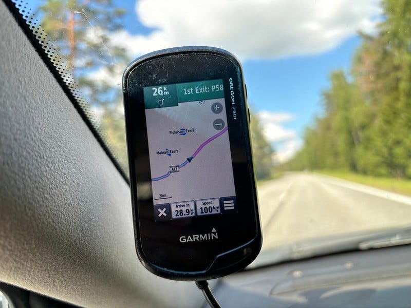
"I’ve gone through 5 or 6 Oregons over the years, moving up the series numbers. Some fell on hard surfaces, some got smashed in crashes. Dropped one on rock tiles in Italy. One got destroyed in a motorcycle crash in Estonia. One fell out of a motorcycle holder and I never found it despite walking along the highway for hours. A few in motorcycle crashes in Latvia. The last one, Oregon 750, fell out of a bicycle holder, then a car ran over it."

I'm sure Garmin will do just fine with their expensive aviation and nautical devices, not to mention their smartwatches, bike computers and fitness devices. Want a Garmin touchscreen? No problem, you can get the brick-sized Montana 7xx starting at $650 or $900 "fully loaded". The GPSMap 67 is probably comparable to what an Oregon might cost today, it starts at $500 and goes up to $600. These devices start to look like boutique products to me, I certainly won't spend that much for a GPS (although I could buy one of each every year and come out way ahead of what I spend to lease the boydsmaps server, LOL).

Anyway, I wish him well, there are certainly a bunch of other people who miss the Oregon. But I think Garmin has decided they just can't sell enough to make it worthwhile. At least they're including more maps with these devices now, my Oregon 400 and Montana 600 only had their terrible 100k US Topo and you had to buy everything else separately. Now, it looks like you get their topoactive maps (openstreetmap?) plus City Navigator and Birdseye imagery. Don't know about their new devices, but Birdseye performance on my Montana 600 was just awful, really slow to zoom the map and the low contrast resistive touchscreen made everything look like mud. The final insult was when they completely discontinued Birdseye for these older devices.

As the last lonely moderator at GPSFileDepot, I can tell you that 99% (maybe more) of the posts in their forum are just spam that I delete every day. Most of it is in Russian with links to cracked software, crypto scams and some really outrageous porn. It's just depressing, there used to be a lively discussion of maps and map-making. I guess people still download the free Garmin maps there, but aside from a couple people working with openstreetmap, it's really old stuff that was great in 2008 but looks pretty sad today.

And since this thread has been linked to on Medium, of course I'll post a gratuitous link to boydsmaps.com where you can compare my philosophy to Garmin's. I think a GPS should include a big selection of high-performance maps and, of course... it's free! :dance:
 
Last edited:
Top