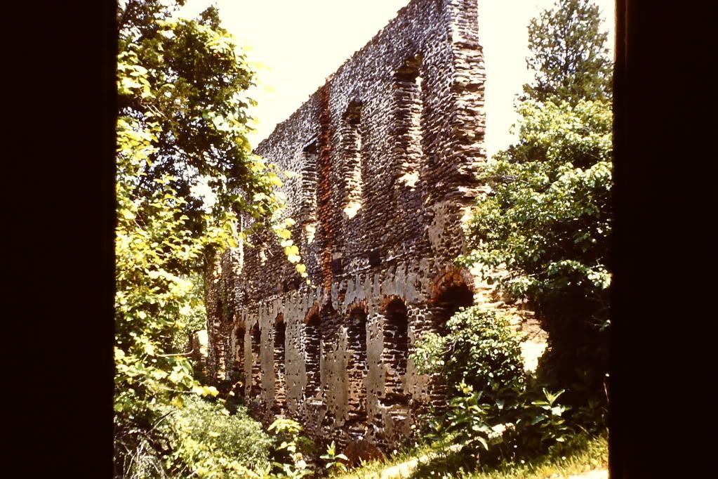
Here are a couple of nice scans from Harrisville. Circa 1960, 35 mm Ektachrome. Nearly a stone's throw from my swimmin' hole.


It won't be too many years and they will be half their size.
Guy
Awesome pics! Where is this swimming hole you speak of?
46er and Boyd, how did you guys manage to get up close access to the ruins? I'm guessing you know park police that unlocked the gate for you?
Where there's a will, there's a way...
No, that's not correct. That's YOUR swimming hole. Mine is southeast of the ruins, that's all this Piney will say on the subject. Ed, the scanner is a Wolverine Film Scanner. I paid about $100 at Fry's electronics in SoCal. The shots were taken with an Argus C3 Rangefinder Camera using a light meter. I will add more shots as found as I go through my 2000+ 35 mm slides. I have McCartyVille in Summer and Winter (snow) over the years. I always visit when I'm back "home" on the way to my swimming hole...Across the street from the ruins.
On the north side of 679 is Harrisville Pond.
I think I know this..but I'll keep quietNo, that's not correct. That's YOUR swimming hole. Mine is southeast of the ruins, that's all this Piney will say on the subject....
 Hey guys, I'm a local boy to this area. Grew up in Chatsworth and moved to Tuckerton/Little Egg Harbor area in'96.. been here since. I've always wanted to check out the village ruins, or what's left of them. I have read and can surmise that the bulk of it is across from Harrisville "Pond".. the more known swimming area. How far from road's edge is everything? I'm always interested in history and constantly stop to check out things I see from the road or hear stories about. I just registered after spending the last hour reading all kinds of fascinating articles about pines history. This is a great site, glad I tripped over it!

I think I know this..but I'll keep quiet
Are you sure you don't mean SouthWest?
 I do know of the place that is SW of the lake though.. Friends and I camp in that area occasionally

