All,
Back on April 14 all members of PBX were notified that our final big hike of the season would be called "Lure of the Tupehocken" and it would occur yesterday. Here is an edited version of Bob's announcement.
Hey Boys, it'll be good to get out there again! I have planned a big trip for Saturday, 31 May. There is something about the Tulpehocken that draws us back, so we’re going back! Actually, we’ll be in areas that not all of us have seen. During our Seven Scenic Savannas trip we had to skip a long savanna, and I really want to see it. Plus, we will be going into more orchid territory, looking for rare Orchids. These delicate little flowers are a real treat to see.
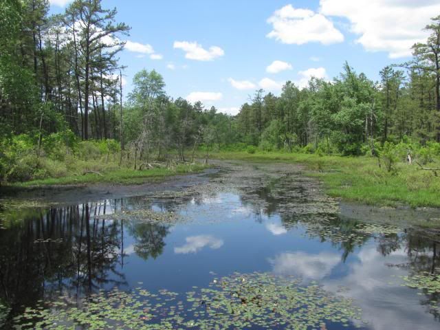
We’ll have to cross the river at some point, so this ought to be interesting. We want to get to the north side of the river as I’ve always want to linger on that side near that big pond to see what’s growing. However, because there is interesting habitat on the south side, we’ll wait till we get to that point to cross the river.
Happy trails to you!
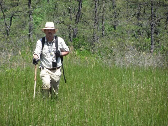
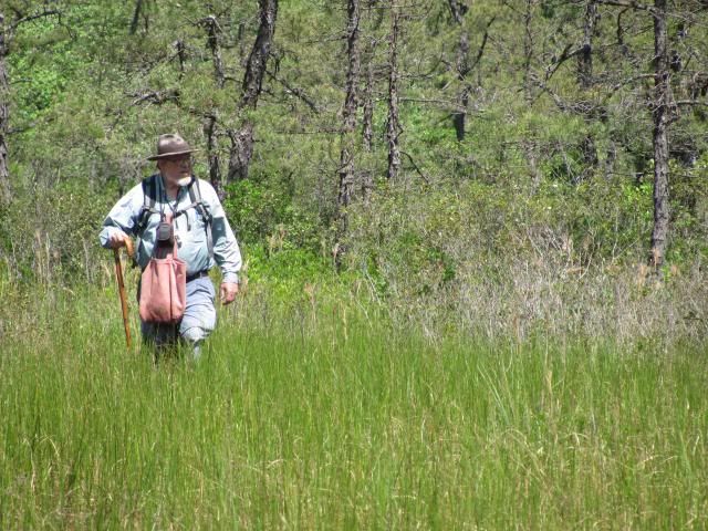
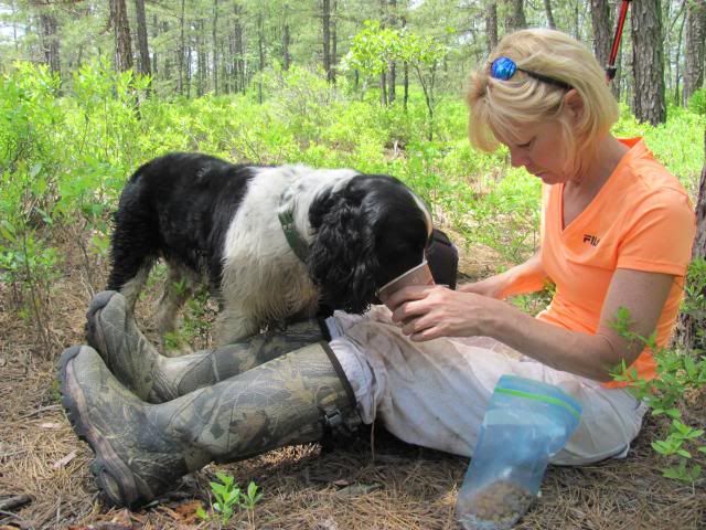
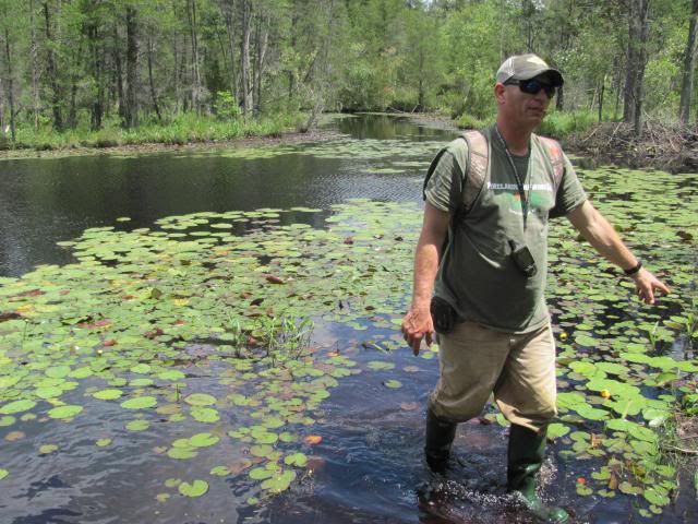
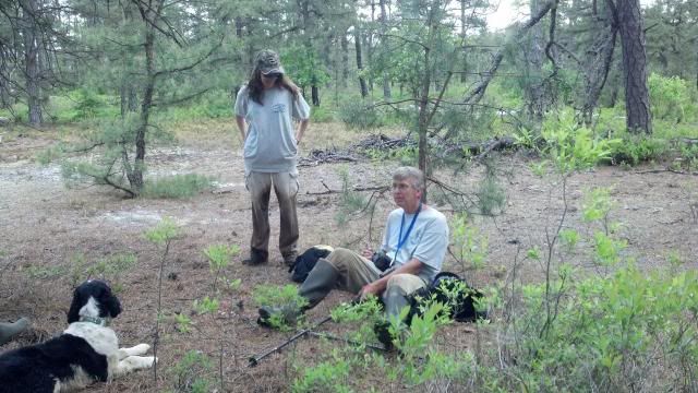
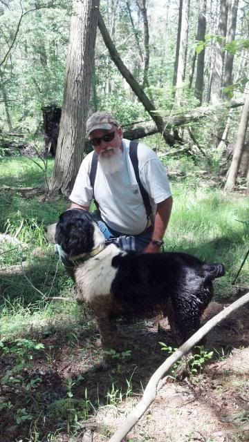
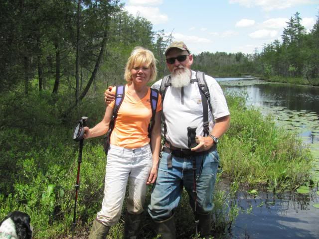
We all met on the road to Wading Pines, then dropped vehicles off at Hawkins Bridge, and then headed to our starting point near Carranza Memorial. Participating members were, bobpbx, lost town hunter, rednekf350, Hewey, pinelandpaddler, myself, Jessica, Scott's bride Dottie, Scott's dog Murph, and special guest, MarkBNJ.
A huge savanah at the beginning of our hike.

Iris Prismatica

Dottie on the same path we traveled on a previous hike years ago. You may remember my photo's of Jessica on the verge of heat stoke.

Duck hunters feel comfortable enough to leave their boat as the area is traveled so infrequently.

Destined to become bog iron.

This was an interesting spot. One member noticed the dam where the water was crossing had been man made. After everyone had headed on I did a little searching and noticed the complete dam is man made. Someone went to quite a bit of trouble years ago to make this.


Following the pack up ahead.

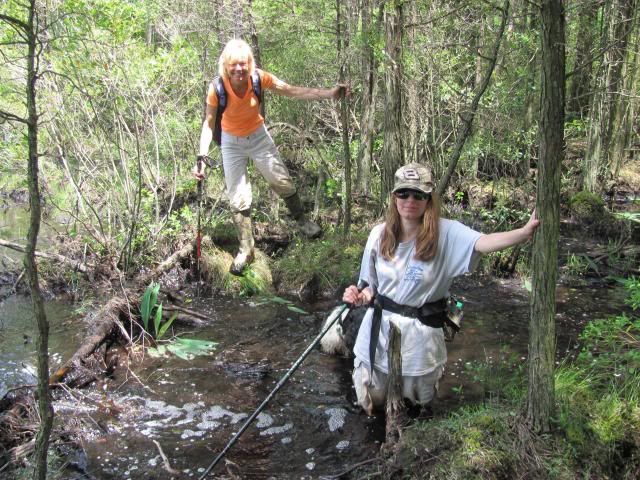
And it would not be a PBX hike if Jessica didn't fall in. This was seconds after I helped her up.


And after a long day of hiking we showered up at Wading Pines and in a remote spot there we had our final party of the season.
Peanut oil for the deep fried wild turkey.

Chris cooking up Bambi.

Jessica took a few photo's this time and I will post them soon. Also, exclusive video's of Mark and Gabe entertaining us at the party with their musical skills.
Guy
Back on April 14 all members of PBX were notified that our final big hike of the season would be called "Lure of the Tupehocken" and it would occur yesterday. Here is an edited version of Bob's announcement.
Hey Boys, it'll be good to get out there again! I have planned a big trip for Saturday, 31 May. There is something about the Tulpehocken that draws us back, so we’re going back! Actually, we’ll be in areas that not all of us have seen. During our Seven Scenic Savannas trip we had to skip a long savanna, and I really want to see it. Plus, we will be going into more orchid territory, looking for rare Orchids. These delicate little flowers are a real treat to see.
We’ll have to cross the river at some point, so this ought to be interesting. We want to get to the north side of the river as I’ve always want to linger on that side near that big pond to see what’s growing. However, because there is interesting habitat on the south side, we’ll wait till we get to that point to cross the river.
Happy trails to you!
We all met on the road to Wading Pines, then dropped vehicles off at Hawkins Bridge, and then headed to our starting point near Carranza Memorial. Participating members were, bobpbx, lost town hunter, rednekf350, Hewey, pinelandpaddler, myself, Jessica, Scott's bride Dottie, Scott's dog Murph, and special guest, MarkBNJ.
A huge savanah at the beginning of our hike.
Iris Prismatica
Dottie on the same path we traveled on a previous hike years ago. You may remember my photo's of Jessica on the verge of heat stoke.
Duck hunters feel comfortable enough to leave their boat as the area is traveled so infrequently.
Destined to become bog iron.
This was an interesting spot. One member noticed the dam where the water was crossing had been man made. After everyone had headed on I did a little searching and noticed the complete dam is man made. Someone went to quite a bit of trouble years ago to make this.
Following the pack up ahead.
And it would not be a PBX hike if Jessica didn't fall in. This was seconds after I helped her up.
And after a long day of hiking we showered up at Wading Pines and in a remote spot there we had our final party of the season.
Peanut oil for the deep fried wild turkey.
Chris cooking up Bambi.
Jessica took a few photo's this time and I will post them soon. Also, exclusive video's of Mark and Gabe entertaining us at the party with their musical skills.
Guy


 Anyway, who needs the right chords when you have home made wine, cold beer, grilled venison, and deep-fried wild turkey? It took a few cups of coffee to get me back up the Turnpike last night. When I finally made it home around 12:30 I dropped into bed and slept nine hours.