As per my conversation on another thread with ecampbell, I have decided to write a review for the Mount Misery Trail in Brendan Byrne (Lebanon) State Forest.
We walked the entire stretch of the MM trail from Pakim Pond and back. Entering the MM trail behind Pakim Pond takes you through the entire stretch of the trail. This brings you back to the red (cranberry) trail, which we took back to Pakim Pond.
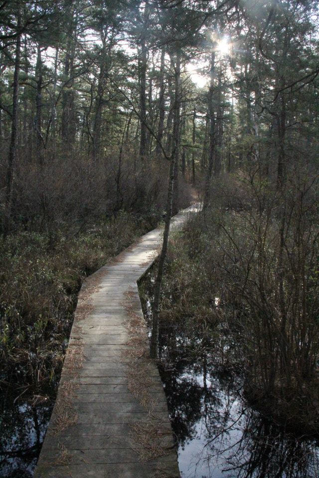
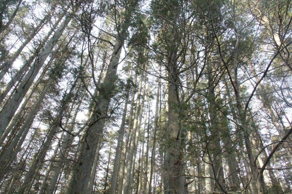
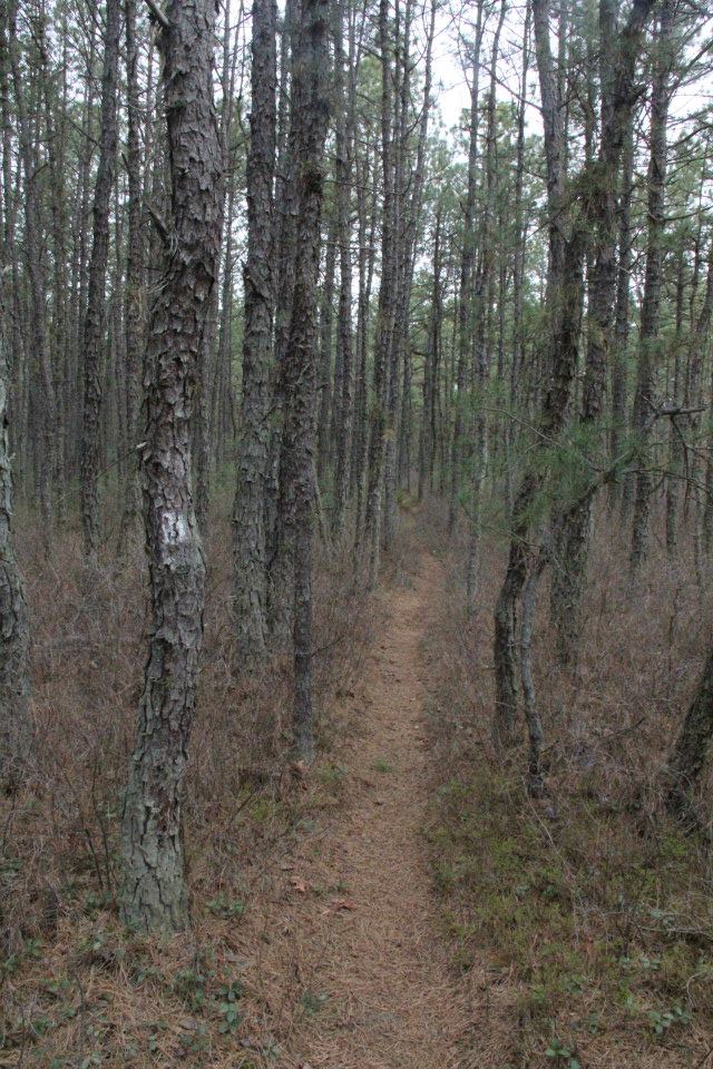
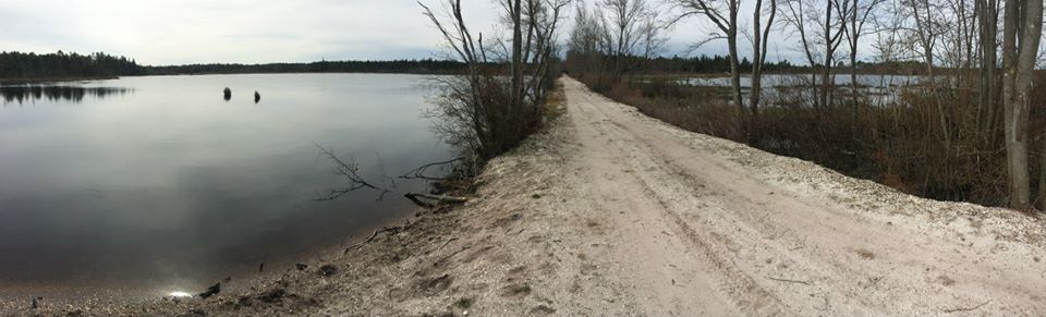
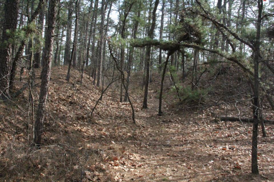
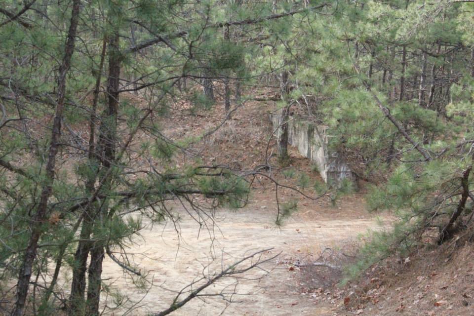
The trail will take you through typical Pine Barrens scenery-upland pine/oak forests, coves of sugar sand, pine and open sky, magnificent cedar swamps, and lakes/old cranberry bogs. I suppose the beauty of the trail is certainly in the eye of the beholder. For folks who are feel that the pinelands are monotonous miles of pine after pine, then there will be nothing special here. For those who see the natural beauty of the pinelands with fresh eyes every time they step into the forest, then this is a 10 mile stretch of very nice scenery.
Reports from the office noted that there are some spots that are muddy or overgrown. There was only one spot that was exceptionally muddy, even after recent rains. It was easily avoided by switching between walking around it and walking on some roots that were above ground. Presence of sphagnum moss suggested that this area was perpetually wet. This area was also a bit overgrown, but again it was a short stretch (not even 0.2 miles). There was another stretch just before arriving at the cranberry bog that was also slightly overgrown, again only about 0.2 or 0.3 miles. Since having a brush with Lyme last year, I become a bit more concerned about a trail being overgrown when the weather warms, the undergrowth leafs out, and the ticks are present. I prefer not constantly brushing up against the understory in these circumstances, but I know that in reality there are times when this cannot be avoided. In short, there were no areas that are so undermaintained that you must avoid walking this trail in its entirety.
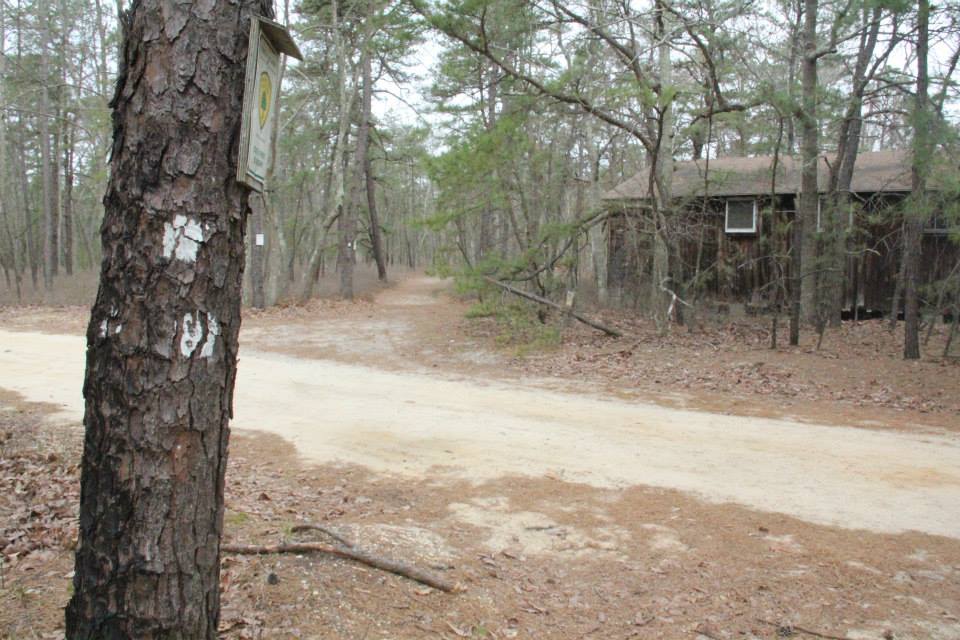
Keep an eye on the trail blazes, as the trail turns a few times. At one point I did become concerned because I had not seen a blaze for a while, but the trail is not tricky enough to throw someone off of it who is paying attention to the blazes.
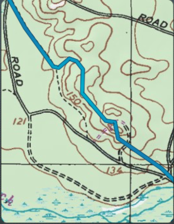
I have no gps coordinates, or estimates of mileage to the interesting or uninteresting spots. I only have a suggestion that if you are interested in a long and very pretty hike through the Pine Barrens, that this trail is a very good option.
We walked the entire stretch of the MM trail from Pakim Pond and back. Entering the MM trail behind Pakim Pond takes you through the entire stretch of the trail. This brings you back to the red (cranberry) trail, which we took back to Pakim Pond.
The trail will take you through typical Pine Barrens scenery-upland pine/oak forests, coves of sugar sand, pine and open sky, magnificent cedar swamps, and lakes/old cranberry bogs. I suppose the beauty of the trail is certainly in the eye of the beholder. For folks who are feel that the pinelands are monotonous miles of pine after pine, then there will be nothing special here. For those who see the natural beauty of the pinelands with fresh eyes every time they step into the forest, then this is a 10 mile stretch of very nice scenery.
Reports from the office noted that there are some spots that are muddy or overgrown. There was only one spot that was exceptionally muddy, even after recent rains. It was easily avoided by switching between walking around it and walking on some roots that were above ground. Presence of sphagnum moss suggested that this area was perpetually wet. This area was also a bit overgrown, but again it was a short stretch (not even 0.2 miles). There was another stretch just before arriving at the cranberry bog that was also slightly overgrown, again only about 0.2 or 0.3 miles. Since having a brush with Lyme last year, I become a bit more concerned about a trail being overgrown when the weather warms, the undergrowth leafs out, and the ticks are present. I prefer not constantly brushing up against the understory in these circumstances, but I know that in reality there are times when this cannot be avoided. In short, there were no areas that are so undermaintained that you must avoid walking this trail in its entirety.
Keep an eye on the trail blazes, as the trail turns a few times. At one point I did become concerned because I had not seen a blaze for a while, but the trail is not tricky enough to throw someone off of it who is paying attention to the blazes.
I have no gps coordinates, or estimates of mileage to the interesting or uninteresting spots. I only have a suggestion that if you are interested in a long and very pretty hike through the Pine Barrens, that this trail is a very good option.