NJ Tax Lot Maps

dragoncjo

Piney
Aug 12, 2005
1,524
237
42
camden county
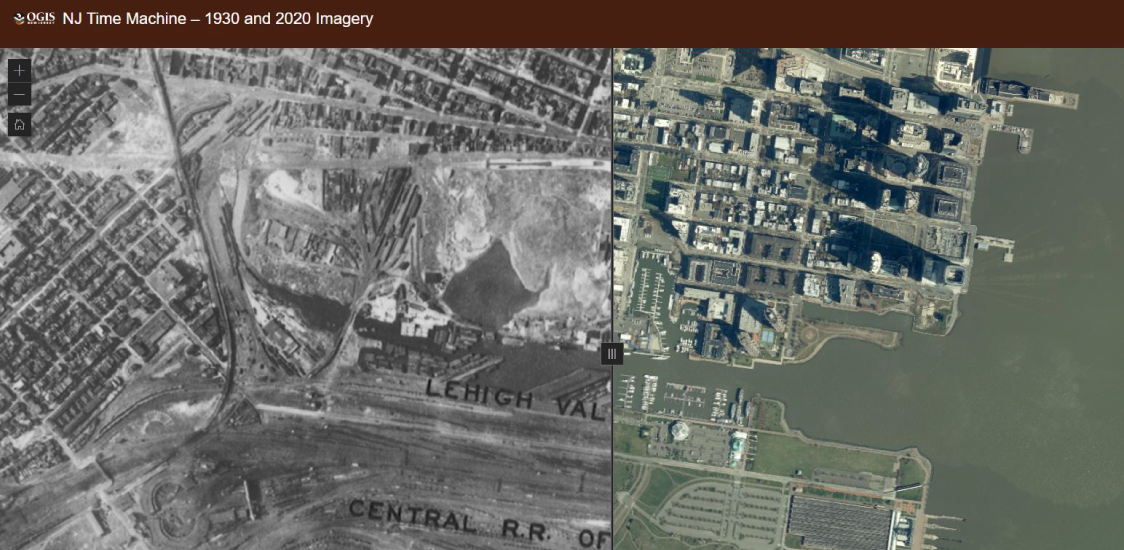
I use to use this link in order to find out what tax lots belonged to who,


You use to be able to click on a plot of land and it would say the owner. Does anyone know if something like that exists out there? I’m trying to see who owns all the land behind my house and where wharton property begins. A bunch of survey markers have been placed out there and I thought it was for a controlled burn but now I’m not so sure.
 

bobpbx

Piney
Staff member
Oct 25, 2002
14,153
4,257
Pines; Bamber area
I think they had to remove that option so you can't figure out where someone you are angry with lives.

I use this one, have never used the one you cite. Click the box in the upper right corner to select aerial view. The parcel lines are shown when you zoom in. Click on a parcel to see the data.

 
Last edited:

Boyd

Administrator
Staff member
Site Administrator
Jul 31, 2004
9,502
2,765
Ben's Branch, Stephen Creek
See this thread for discussion of changes in parcel data availability

https://forums.njpinebarrens.com/th...-searching-2021-2022.13888/page-3#post-167225

It's not clear to me exactly what they are talking about here, but my interpretation is that NJOGIS is completely pulling their tax app which might mean that your links stop working. Guess we'll find out on April 29.

"The NJ Office of GIS will be retiring the Municipal Property Search map service at or around Friday, April 29, 2022. There are no plans for replacement at this time."


Teegate

Administrator
Site Administrator
Sep 17, 2002
25,602
8,177
I was at the markers right after the fire. They were put there so that the plow line digger did not drive on private land. If you need any info or want to visit any of the corners out there let me know and I will take you there.

DSC_3854a.jpg


DSC_3857a.jpg
 

Teegate

Administrator
Site Administrator
Sep 17, 2002
25,602
8,177
Also, send me the lot info and I can tell you what you want to know.
 

Teegate

Administrator
Site Administrator
Sep 17, 2002
25,602
8,177
It had to have been. I have to assume that the FFS starts planning these fires months ahead of time. They must have to notify the adjacent property owners that it is going to occur and maybe the FFS asks to burn the private land or the private owners ask the FFS to do it. In any event, standing there looking at the stakes pretty much confirmed to me that the private property was burned. If you go back and look closely you can see the plow line is far away from the private land as to not encroach. I am sure even if the private owners wants their land burned they don't want a huge plow line through their property.
 
Last edited:

dragoncjo

Piney
Aug 12, 2005
1,524
237
42
camden county
Yeah that’s what I thought it seemed like much of the private land was burned. I was a little off course on my bike but I thought I was miller property and not wharton. They did burn well back along the power lines and it looks cleared out a bit. Was very overgrown back there.
 

dragoncjo

Piney
Aug 12, 2005
1,524
237
42
camden county
My main concern is alleviated as I thought maybe the markings where development related but it seems most the land is medford, wharton with some parcels privately owned.
 
Top