All,
Early this morning my wife, Jessica, and I headed out to the location Boyd took his photo’s, and to check on the Lawrence Line stones that were directly impacted by the fire. Not really to check on them, just to see how exposed and what it looks like without the vegetation.
We first visited Boyd’s photo location and stood on the washing machine and photographed and videotaped the area.
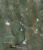
I then set my GPS to the Forked River Mountains and faced the hill in the distance that Boyd saw, and my GPS was off almost 90°. So I then switched my GPS to the landing gear at Bear Swamp Hill while still facing the hill and it pointed in that direction. Looking over the map after returning home I am certain it is Bear Swamp Hill. The Forked River Mountains are on the other side of 539 in the direction of the FAA tower which was almost 90° to the right of me.
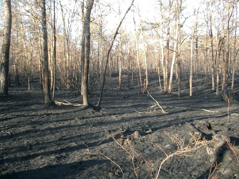
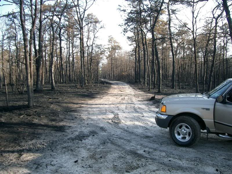
Our next stop was Lawrence Line stone #12. This area was in the heart of the fire...completely burnt.
http://forums.njpinebarrens.com/gallery/albums/userpics/10007/normal_aaf.jpg
Sphagnum Moss.
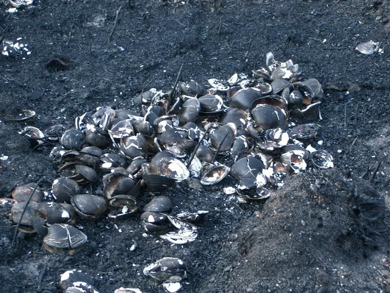
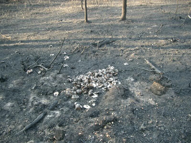
I feel really bad for those that lost their homes, but fire in the pines is wonderful for the plants. Check out these pine cones in three phases of opening. My wife was fascinated that all of the pine cones in the burned area were open, and the insides were as red as normal. The seeds were exposed and in many instances on the ground.
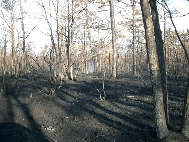
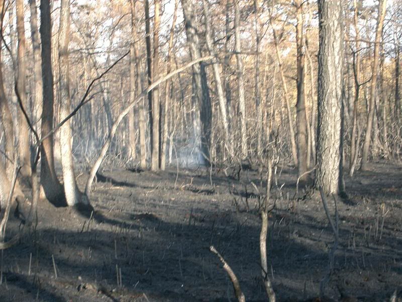
Directly in the center of this photo is Lawrence Line Marker # 11.
http://forums.njpinebarrens.com/gallery/albums/userpics/10007/normal_aae.jpg
Unfortunately, Jessica found the remains of a turtle that did not escape the fire. We left him alongside the #11 marker when we left.
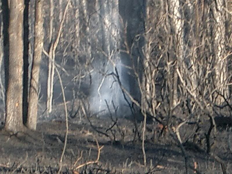
Again, in heart of the pines away from any road.
And my wife said that if she had found this earlier, she would have been able to put the fire out
")
We visited Waretown for a few minutes and stopped at the Woodshed on our way home for an very early lunch.
Guy


