Signs of Spring
- Thread starter johnnyb
- Start date
You are using an out of date browser. It may not display this or other websites correctly.
You should upgrade or use an alternative browser.
You should upgrade or use an alternative browser.
It's all @johnnyb 's fault for starting a thread on "Signs of Spring" in February. The gods are laughing. 

Yeah, I am doing that. What I'm wondering is if there is some limit to how long you can store an engine without using it. Seems like it would be fine for a couple years, but the instructions only discuss storage during the off-season as opposed to longer periods of time. No big deal one way or the other though - thanks!
Boyd, this is not advice I am giving you, it is only experience.
My snow blower purchased in 2007. Has had gas in it all year since then, and I usually forget to put in the stabilizer. Starts and runs fine.
My pressure washer purchased in 2002(?). Same thing. And I've gone two years without ever starting it. Starts and runs fine.
My generator purchased in 2014. Same thing, but I do kick it over once a quarter or so.
My lawn mower purchased in 2012. Same thing.
Am I taking a risk? Sure, but life itself is a risk.
Thanks Bob. I have also done the same in the past but my results have not always been as good as yours. Got the new snowblower in 2015 and decided to try a new strategy, to only use it when the snow gets too deep for my 4wd SUV. When another "big one" hits, I like the idea of having a basically new machine to clear it. With my driveway, I'm really at the limit of what you can do with one of these homeowner models. 

Last edited:
New briefing is out and has changed for the better here, 6-8", but the winds are forecast to be really cranking. The big blower will remain asleep for now. We all know how the govt forecasters like to get things wrong. 

Well, in their own words "Confidence in snow amounts: Medium I-95 NW, Low on coastal plain". 
In their defense, I'll say that they've been spot-on in my area for the past few storms.

In their defense, I'll say that they've been spot-on in my area for the past few storms.
Well, in their own words "Confidence in snow amounts: Medium I-95 NW, Low on coastal plain".
Yes, they have become very reliable at hedging their forecasts. Nothing more than modern day Shamen; expensive entertainment, 4600 employee's and a $1 billion budget, plus their $2 billion satellite program. But that's just my opinion.

We now have a blizzard warning for 10", up to 14" and confidence is medium for us

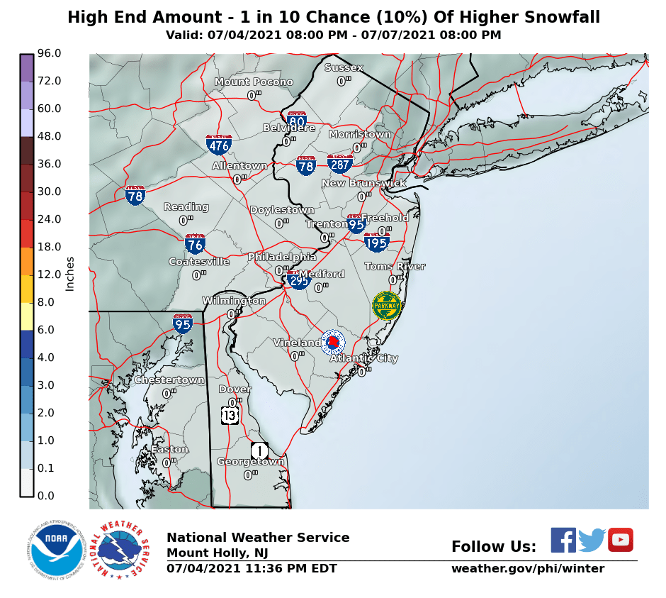
They have a new map.

Last edited:
They are all over the place with these forecasts. The current "most likely" scenario shows 10 inches of snow over just about all of the pines with less along the shore and to the far south. The line between 8" and 10" passes right through my backyard.  http://www.weather.gov/media/phi/current_briefing.pdf
And then the the temperature drops and doesn't rise above freezing until the end of the week, so whatever we get isn't going away for awhile. Ever heard that expression, "be careful what you wish for"?
 http://www.weather.gov/media/phi/current_briefing.pdf
And then the the temperature drops and doesn't rise above freezing until the end of the week, so whatever we get isn't going away for awhile. Ever heard that expression, "be careful what you wish for"?

I am hoping for one nice snowstorm
They are all over the place with these forecasts.
And add in all the 'independent' predictions and we have a Smörgåsbord of snow totals
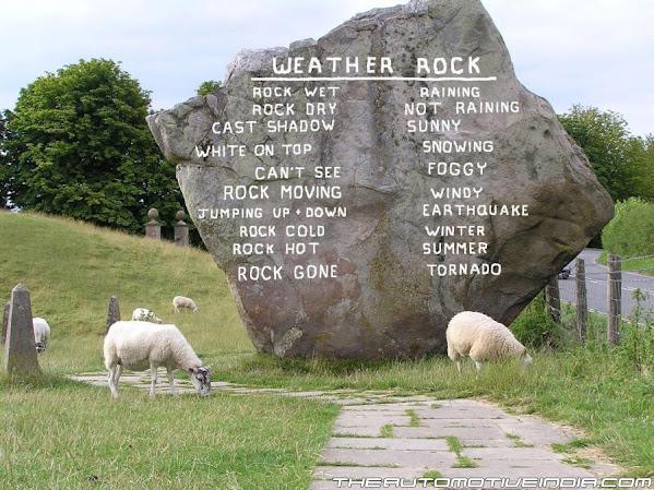
 I wonder what the weather rock has to say?
I want everyone to be safe and fully stocked/prepared but I hope "they" are wrong and we get even more snow than expected. Really pleased to have at least one actual snowstorm this year. Great opportunity for some Pine Barrens snow photographs.....and as always we sure can use the moisture!They are all over the place with these forecasts. The current "most likely" scenario shows 10 inches of snow over just about all of the pines with less along the shore and to the far south. The line between 8" and 10" passes right through my backyard.http://www.weather.gov/media/phi/current_briefing.pdf
And then the the temperature drops and doesn't rise above freezing until the end of the week, so whatever we get isn't going away for awhile. Ever heard that expression, "be careful what you wish for"?

Yes stay safe everyone. I ran the generator for an hour, got batteries and food and brought in enough fire wood to last a few days. I hoping for plenty of snow. My flight Tuesday is already cancelled so I actually will have a snow day as long as we have enough to make a trip to the shop to risky.
Here's a 3:00 PM update, snow amount doesn't sound too bad but the wind could be a problem...
___________________________________
Winter Storm Warning
URGENT - WINTER WEATHER MESSAGE
National Weather Service Mount Holly NJ
300 PM EDT Mon Mar 13 2017
...An extreme situation is developing for portions of our area as
a MAJOR COASTAL STORM interrupts our usual daily routines on
Tuesday...
.A very strong winter storm could be life threatening for those
who do not pay attention to safety precautions Tuesday morning.
Low pressure developing off the Carolina coast this evening will
become an intense storm as it moves east of New Jersey midday
Tuesday. Swaths of excessive precipitation will develop along and
west of the track of the storm. Near blizzard conditions are
likely for a few hours in eastern Pennsylvania and portions of
northern New Jersey where snowfall rates of 2 to 4 inches per
hour are expected.
NJZ021-022-027-140615-
/O.CON.KPHI.WS.W.0003.170314T0000Z-170314T2200Z/
Cumberland-Atlantic-Southeastern Burlington-
Including the cities of Millville, Hammonton,
and Wharton State Forest
300 PM EDT Mon Mar 13 2017
...WINTER STORM WARNING REMAINS IN EFFECT FROM 8 PM THIS EVENING
TO 6 PM EDT TUESDAY...
* LOCATIONS...Southeastern New Jersey.
* HAZARD TYPES...Snow mixing with or changing to sleet and even
rain for a time early Tuesday before ending as sleet and snow
during midday. Strong northeast wind gusts of 50 to 60 MPH.
* ACCUMULATIONS...Snow and sleet accumulations of 3 to 5 inches.
* TIMING...Snow begins between 9 PM and 11 PM this evening,
becoming heavy at times near midnight before mixing with or
changing sleet and rain, then ending as snow early Tuesday
afternoon.
* IMPACTS...The heavy snow will make many roads impassable and
may produce widespread power outages due to the weight of the
snow on tree limbs and power lines. Strong winds will lead to
blowing snow, reduced visibility, and additional power
outages.
* WINDS...Northeast 25 to 35 mph with gusts up to 55 mph.
* TEMPERATURES...In the mid 30s.
I just knew it; 0" to 11", expect 4". as of the 5pm briefing, which was the last for this, ahem, storm. FWIW, I got the blower ready, glad to do my part 
The NWS really should stick to a 2 day prediction, anything beyond that is pure folly.
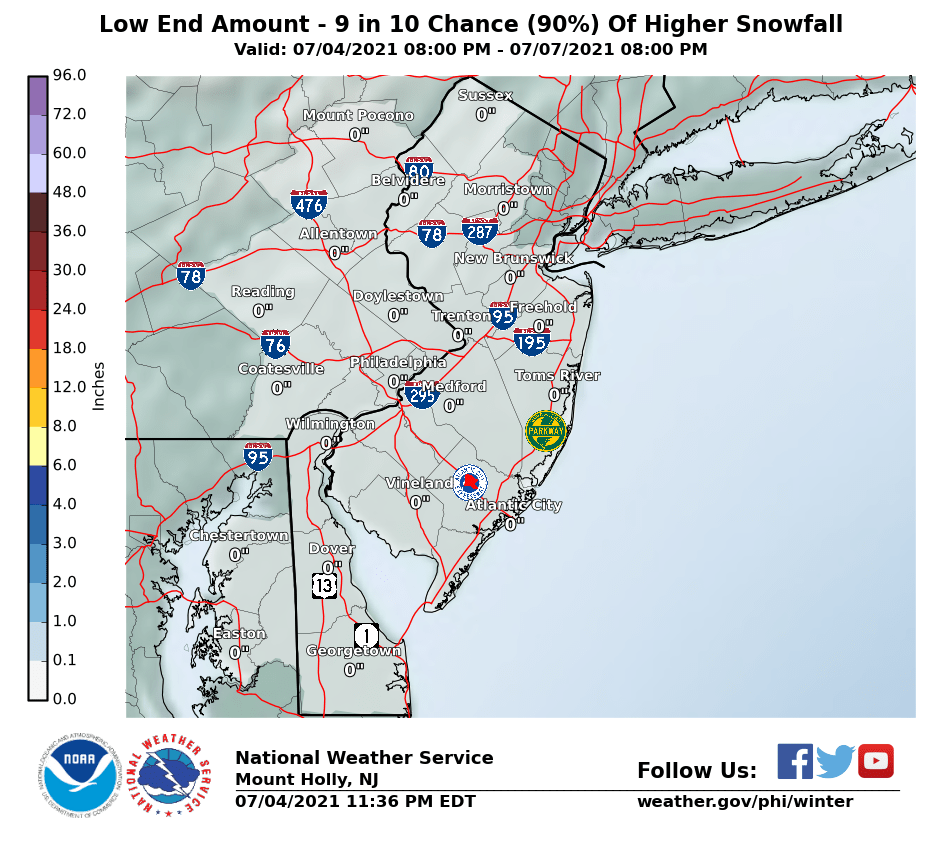


The NWS really should stick to a 2 day prediction, anything beyond that is pure folly.


Last edited:
Bad news for you snow lovers.  But it sounds like there could be more ice and freezing rain, which is not good for trees and powerlines...
http://www.weather.gov/media/phi/current_briefing.pdf
NJ. Blizzard Warning downgraded to a Winter Storm Warning for Ocean county NJ with more sleet expected. In general, accumulations have been lowered across the coastal plain, east of I-95, due to more mixed precipitation.
 But it sounds like there could be more ice and freezing rain, which is not good for trees and powerlines...
http://www.weather.gov/media/phi/current_briefing.pdf
NJ. Blizzard Warning downgraded to a Winter Storm Warning for Ocean county NJ with more sleet expected. In general, accumulations have been lowered across the coastal plain, east of I-95, due to more mixed precipitation.
But it sounds like there could be more ice and freezing rain, which is not good for trees and powerlines...

Ice Accumulation Potential
03/13/2017 0800PM to 03/14/2017 0800PM
