View?

manumuskin

Piney
Jul 20, 2003
8,555
2,470
59
millville nj
www.youtube.com
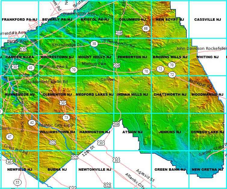
39.86363° N 74.32126° W

Can anyone say if this is a nice view or wholesale destruction?it is a hill on the topo but there is no Birds eye imagery here.it looks cleared but perhaps the whole hill may have been quarried away?I've been near here but never to this spot.
 

bobpbx

Piney
Staff member
Oct 25, 2002
14,261
4,374
Pines; Bamber area
Al, I call that the South Jersey Serengeti. The hill was destroyed by the sand plants until the state told them to back off and get thee the hell out of there. They demanded rehabilitation so they used a mixture of sewage sludge and other crap (or so the story goes--I have no source), and now most of what is growing there never grew there in the first place. Being leveled, it looks like a vast plain, and you can often sit quietly on the remaining hill across from Wright's road just watching the deer herds. I'll take you back there some time. It is quite a remarkable place.

In the late 70's I took my Hodaka 125 along the ridge and it was quite a nice ridge they destroyed.
 

manumuskin

Piney
Jul 20, 2003
8,555
2,470
59
millville nj
www.youtube.com
I was afraid they had destroyed the hill.I could not tell what I was looking at on the serials but it did not look natural.I can pretty much gage what I"m in for by aerials and can a very good idea from Birds Eye but this terrain seemed unique to the barrens.I was just scanning for potential lookouts along the ridges in that area as I have before.I don't get up that far too often,I'm usually south of 72 and west of 539.I need to get up your way more often and walk some of those gorgeous white sandy bottomed streams you have,we have a few down here but they are usually deeper and are much harder to negotiate.
 

Boyd

Administrator
Staff member
Site Administrator
Jul 31, 2004
9,560
2,810
Ben's Branch, Stephen Creek
It's a shame that the LIDAR coverage does extend that far East; it would reveal a lot more about topography than aerial photo's.

pines_lidar.png
 

Teegate

Administrator
Site Administrator
Sep 17, 2002
25,656
8,267
Al,

I believe these are photo's of that hill before it was removed. Developed in 1/79.

1_79.jpg


1_79a.jpg


Guy
 

Teegate

Administrator
Site Administrator
Sep 17, 2002
25,656
8,267
Bob,

Can you remember what we did the day you and I visited there at sunset? I am trying to find my photo's and can't.

Guy
 

Teegate

Administrator
Site Administrator
Sep 17, 2002
25,656
8,267
It was raining that day. On a clear day we could easily see the Cedar Bridge fire tower when it was at it's previous location.

Guy
 

Boyd

Administrator
Staff member
Site Administrator
Jul 31, 2004
9,560
2,810
Ben's Branch, Stephen Creek
Guy, you posted old photos of another place near FRM where they literally removed a hill. I think you had a picture from when you camped there? Was that the same place? It's really too bad that more of this area wasn't preserved long ago.
 

Teegate

Administrator
Site Administrator
Sep 17, 2002
25,656
8,267
The hill I camped on is still there. I believe the other photo I have just shows that deep hole.

Guy
 

Teegate

Administrator
Site Administrator
Sep 17, 2002
25,656
8,267
so the hill is gone? No more view? I hate sand plants.

That hill is gone but the one across the road is there. I am trying to find my photo from when Bob and I were there a few years ago but can't find them. I need Bob to refresh my memory on what we did that day so I can search them out. I may be able to find them on this site and will check later.

Guy
 

bobpbx

Piney
Staff member
Oct 25, 2002
14,261
4,374
Pines; Bamber area
Guy, you and I climbed a tree and took photo's of the Forked River Mountain. We also went to the back of the hill and looked northeast. Do you remember that is the mountain man retreat with the ax target board?
 

Teegate

Administrator
Site Administrator
Sep 17, 2002
25,656
8,267
Thanks Bob! Your info helped me find them. This was 10/10/2004.

Bob, Jessica, and I climbed the hill across the road from the hill that was removed. Bob and I climbed a tree and sat there for over an hour as the sun set. Jessica sat on I believe some sort of chair we found there.

The Forked River Mountains

frm.JPG


The Cedar Bridge Fire Tower in the distance.


cb.JPG


The Serengeti. This is where the mountain in my photo was I believe.


IMG_4352.JPG


IMG_4353.JPG


IMG_4354.JPG


FRM again

IMG_4360.JPG


IMG_4361.JPG


IMG_4365.JPG


IMG_4368.JPG


IMG_4385.JPG


Guy
 
  • Love
Reactions: Trailwalker
Top