Wharton Forest Fire 06/10/11

Teegate

Administrator
Site Administrator
Sep 17, 2002
25,603
8,181
Thanks! I will have to get in the area soon and roam around.

Guy
 

bobpbx

Piney
Staff member
Oct 25, 2002
14,154
4,258
Pines; Bamber area
...." Larry Hajna said firefighters planned to establish a perimeter around a 200-acre section of the forest and let the fire burn itself out within that area."

Hmmm...now just how do they plan to do that?
 

firetech792

Scout
Aug 26, 2007
70
2
Central NJ
www.sectionb10.org
Those coordinates above aren't exactly correct. They're close, but these are near the point of origin.
39 44.323N
74 40.247W

The fire area was just southwest of the Mannis Duck Pond, near Mannis Pond Rd. Maptech.com shows this pond. Other maps don't.
 

ecampbell

Piney
Jan 2, 2003
2,840
958
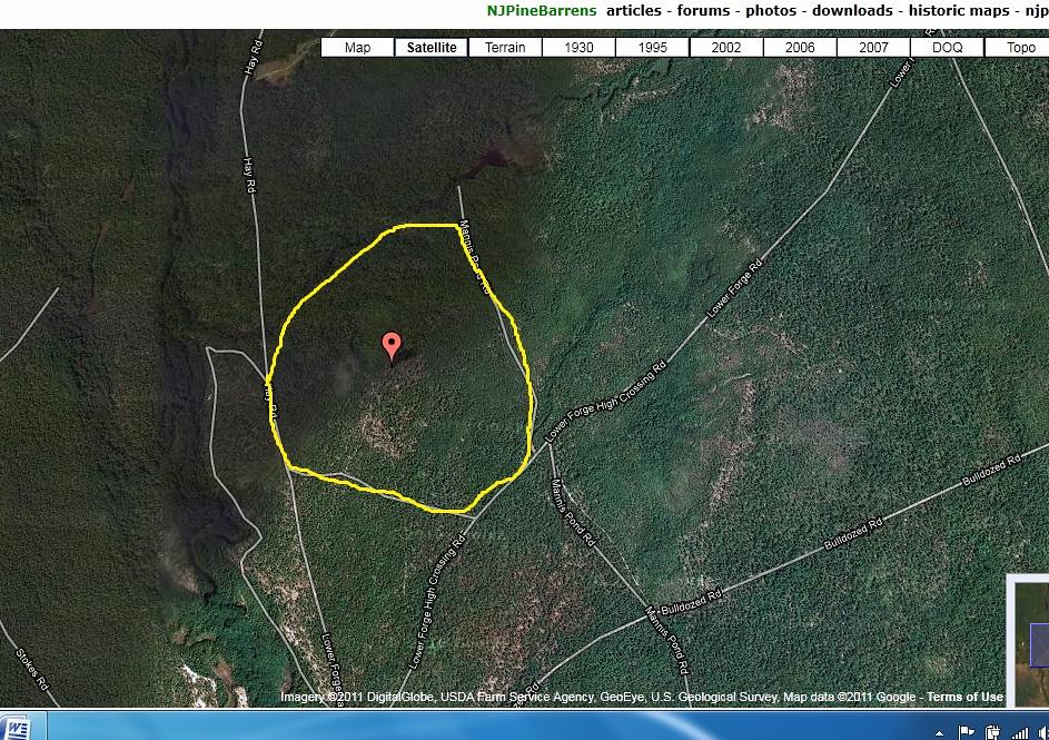
We took our walk there this morning, parking at Push Line and Mannis pond Road.
http://maps.njpinebarrens.com/#lat=39.730755773760286&lng=-74.66102600097656&z=15&type=h&gpx=

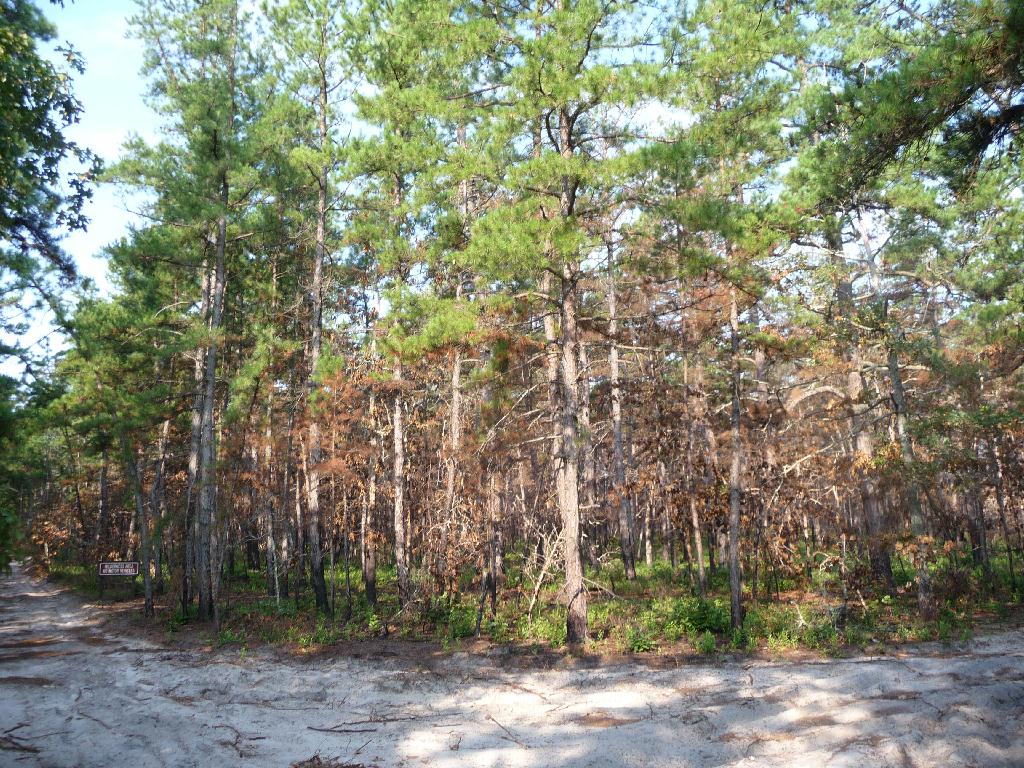
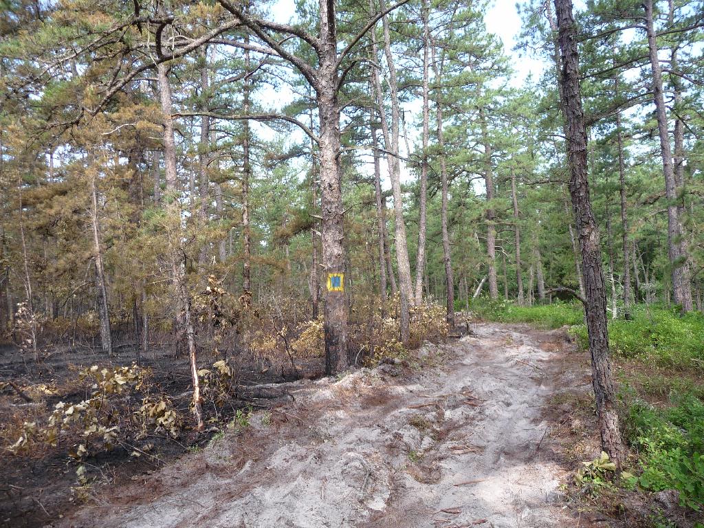
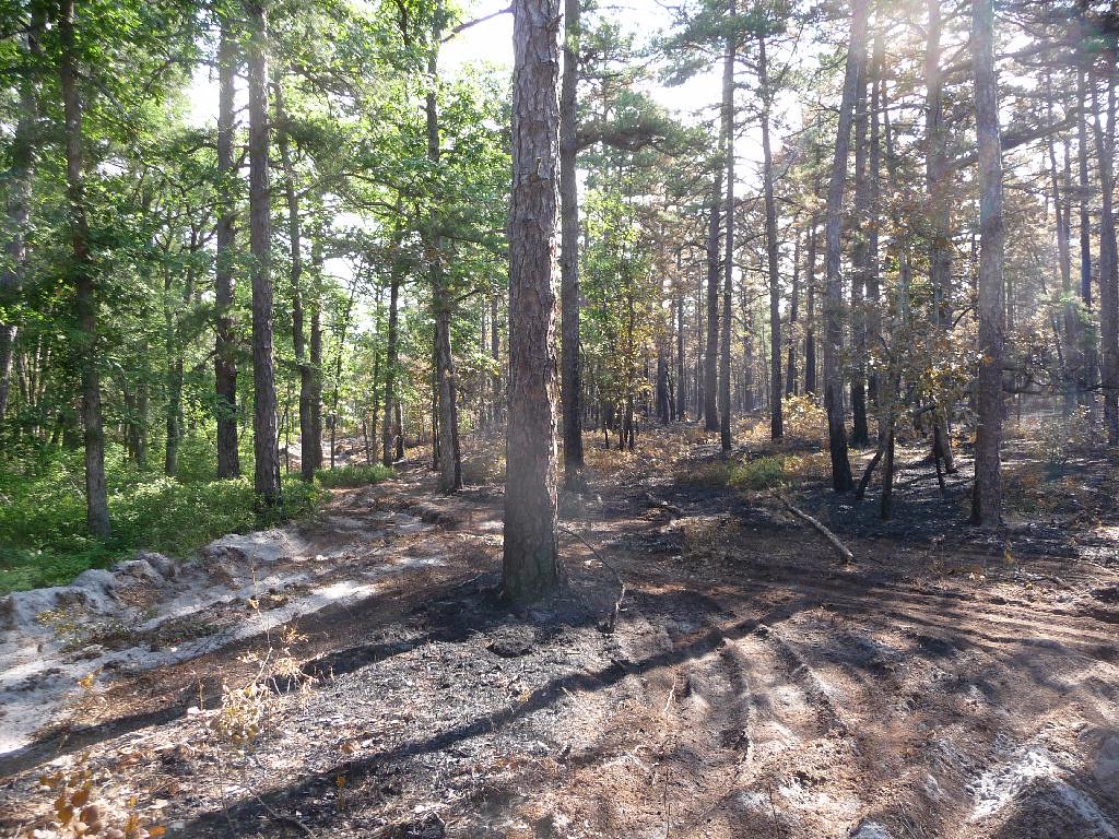
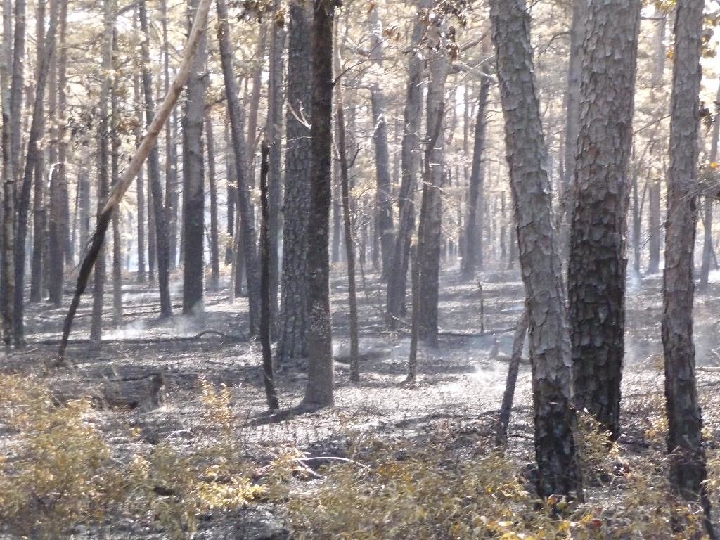
There was no sign of the fire there. , but when we walked toward Mannis Duck Pond we had the sweet smell of the fire. At this intersection the burnt area was well defined.
http://maps.njpinebarrens.com/#lat=39.7351122072681&lng=-74.6660041809082&z=15&type=h&gpx=
Sweet because it had the smell of an underbrush fire, if you ever smelled it you would know. It was still smouldering and the borders were well defined. It was visible at this intersection.


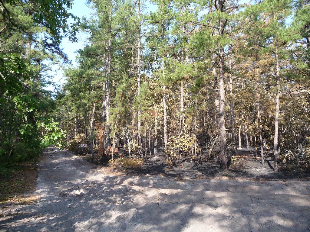
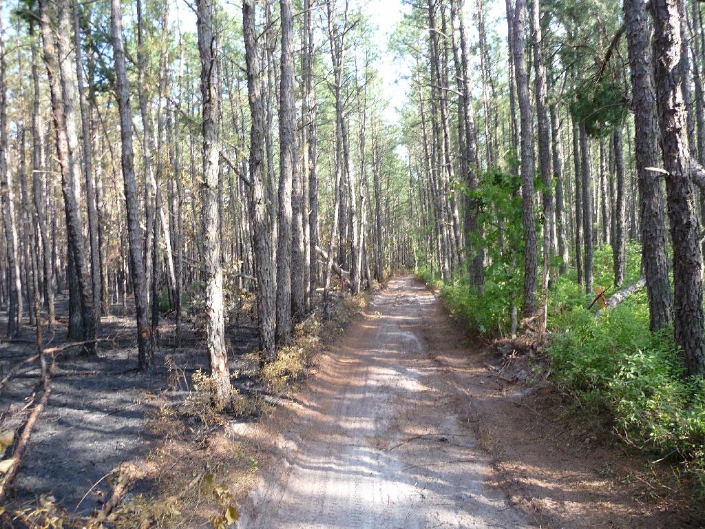
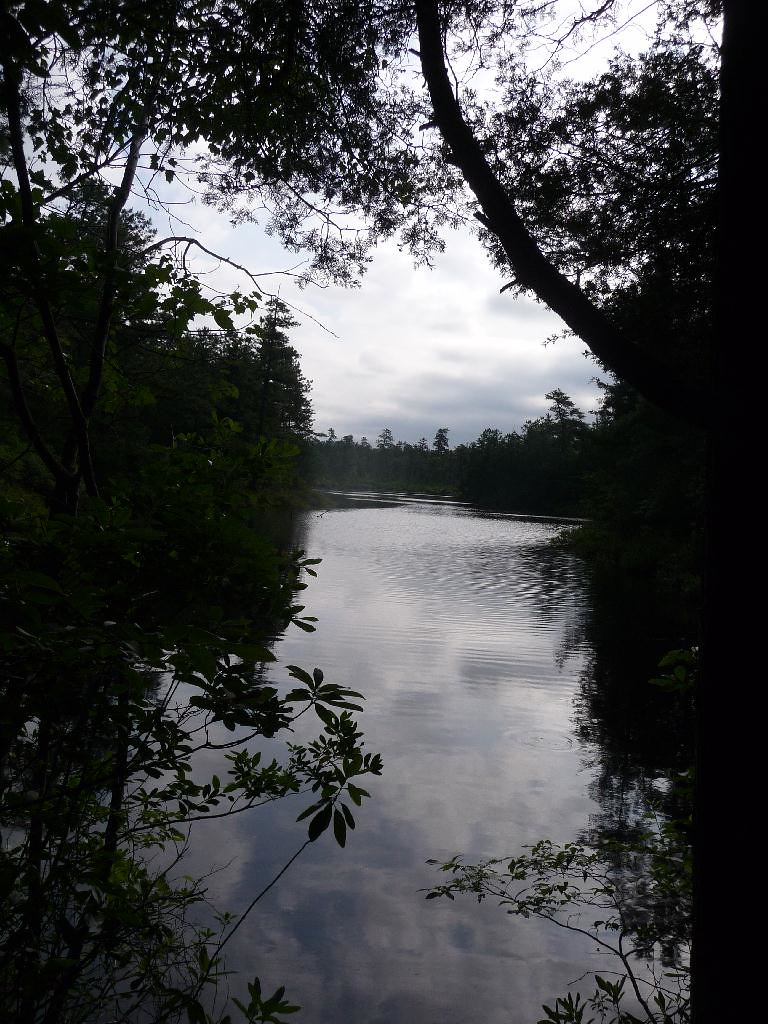
Turning right we waked to Mannis Pond. A dozer was used to clear the road and did a very nice job, not like the butcher who put in a break at Friendship earlier this year.


It was a light burn here and the trees probably will not fall. It appeared to me to be a backfire.

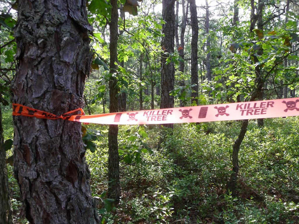
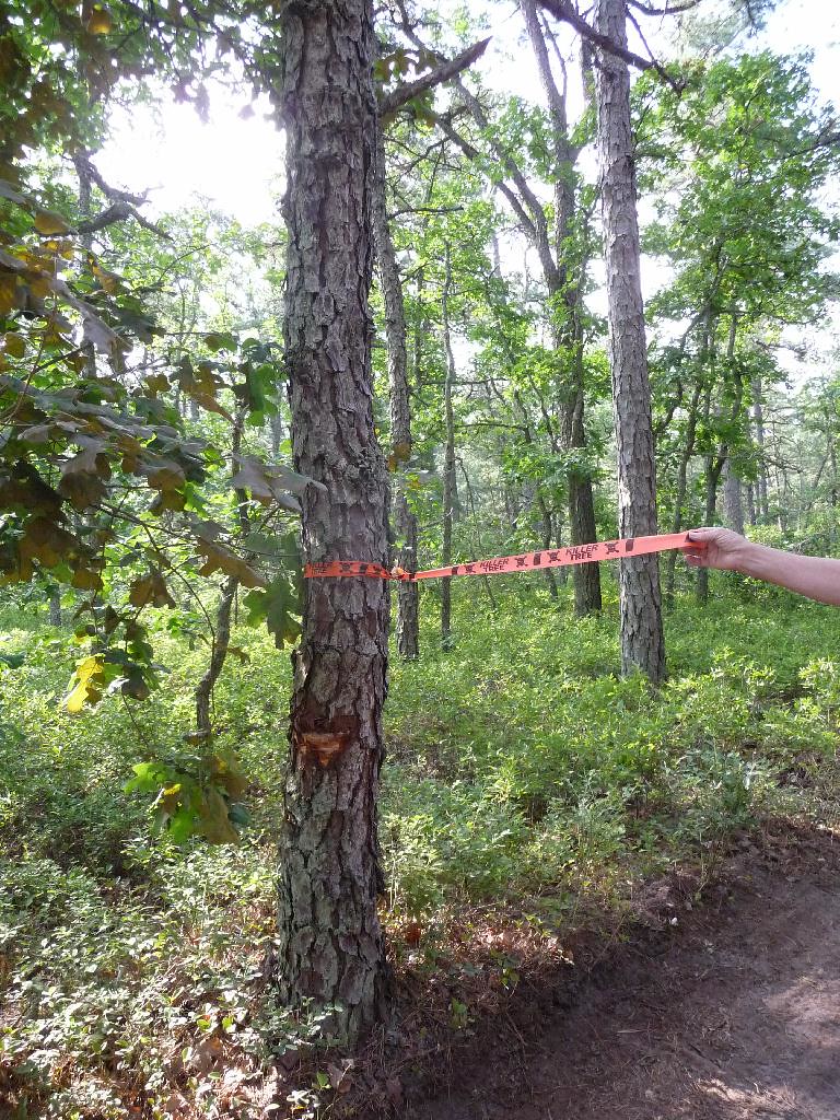
Killer tree, there was nothing special to these marked trees.


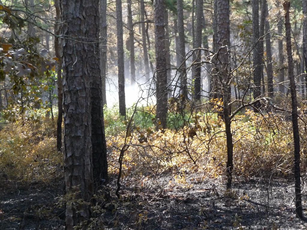
Before the pond the fire was stopped, a strange marking on a tree which I have seen on Hay Road well before the fire.


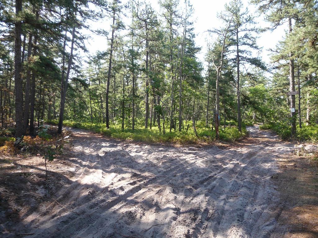
The parking area at the pond was heavily used and opened up nicely. There is evidence that the pond was pumped for water.


We will hike into Lower Forge camp ground tomorrow if time allows.

Ed
 

ecampbell

Piney
Jan 2, 2003
2,840
958
We went back this morning to hike into the Lower Forge Campground from the south. There is no sign of the fire at the campground. Traveling north from the campground the first sign was at this intersection.
http://maps.njpinebarrens.com/#lat=39.73465017434186&lng=-74.67514514923096&z=15&type=h&gpx=

Looking southeast. The road on the right goes to Quaker Bridge, the left one out toward Mannis Pond.


We continued to head north on Hay Road where the fire ended where the stream crosses the road. Here a substantial break was made which probably went to my previous post on Mannis Road with the yellow and blue square.
http://maps.njpinebarrens.com/#lat=39.73867635716996&lng=-74.6760892868042&z=15&type=h&gpx=

Fire break looking east toward Mannis Pond.


The fire here did not appear to be hot enough to kill the pines. There was lots of smoldering.


The area of the fire seems to be confined to here.


As we walked out two FFS trucks were arriving. They did not seem to be in a rush.

Ed
 
  • Like
Reactions: Hinchman's Hill

Teegate

Administrator
Site Administrator
Sep 17, 2002
25,603
8,181
Thanks for all the reporting Ed! I will try and get there soon. I enjoy walking around in the fire area's.

Guy
 
Top