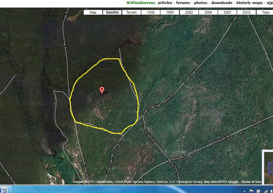
We took our walk there this morning, parking at Push Line and Mannis pond Road.
http://maps.njpinebarrens.com/#lat=39.730755773760286&lng=-74.66102600097656&z=15&type=h&gpx=
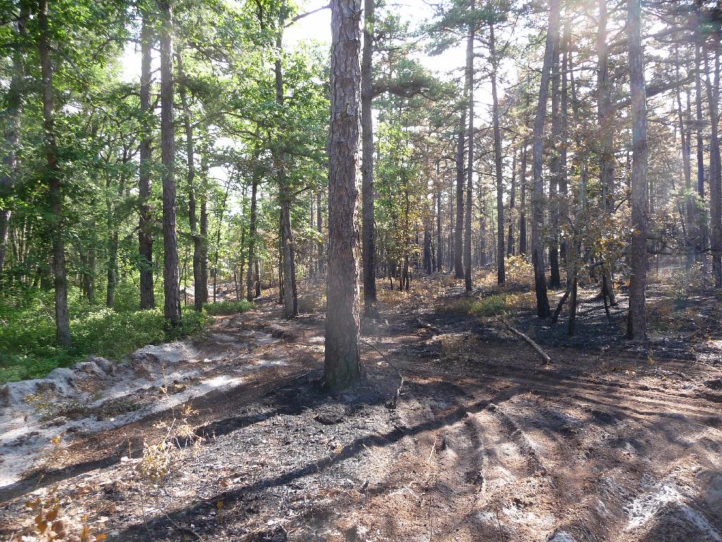
There was no sign of the fire there. , but when we walked toward Mannis Duck Pond we had the sweet smell of the fire. At this intersection the burnt area was well defined.
http://maps.njpinebarrens.com/#lat=39.7351122072681&lng=-74.6660041809082&z=15&type=h&gpx=
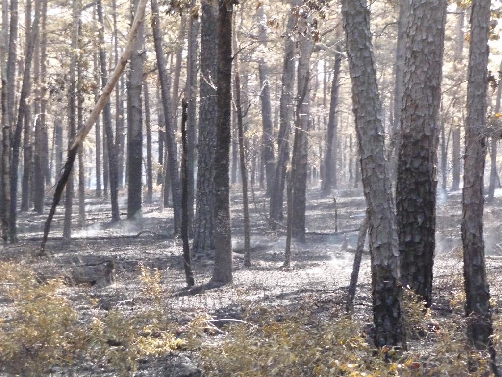
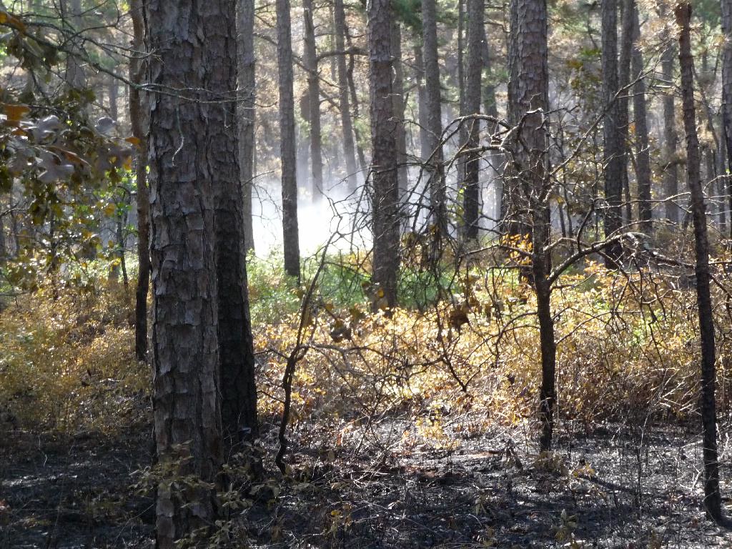
Sweet because it had the smell of an underbrush fire, if you ever smelled it you would know. It was still smouldering and the borders were well defined. It was visible at this intersection.
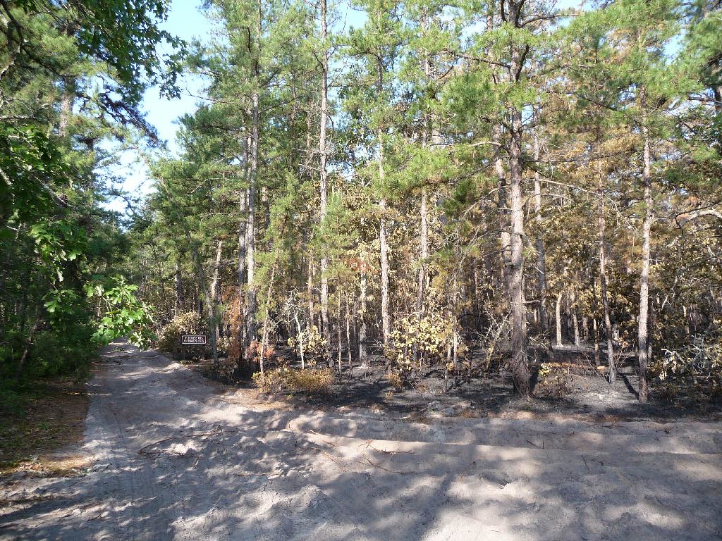
Turning right we waked to Mannis Pond. A dozer was used to clear the road and did a very nice job, not like the butcher who put in a break at Friendship earlier this year.
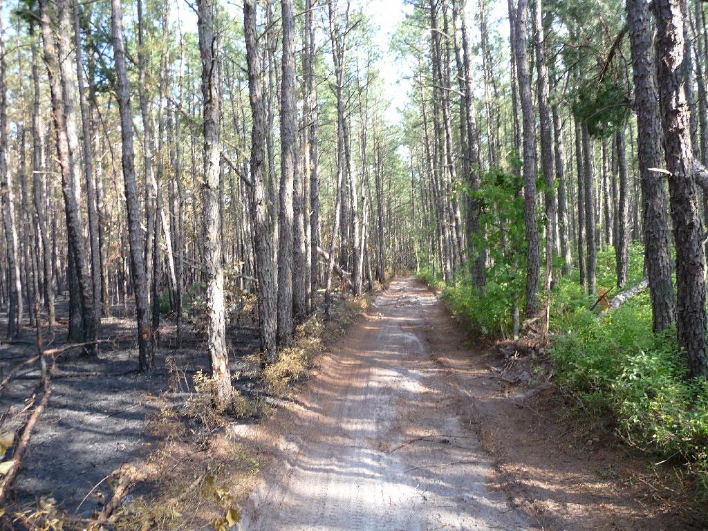
It was a light burn here and the trees probably will not fall. It appeared to me to be a backfire.
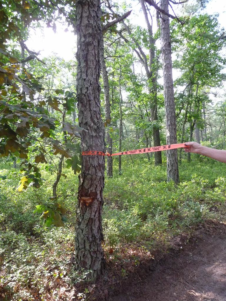
Killer tree, there was nothing special to these marked trees.

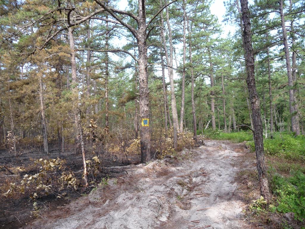
Before the pond the fire was stopped, a strange marking on a tree which I have seen on Hay Road well before the fire.
The parking area at the pond was heavily used and opened up nicely. There is evidence that the pond was pumped for water.

We will hike into Lower Forge camp ground tomorrow if time allows.
Ed


