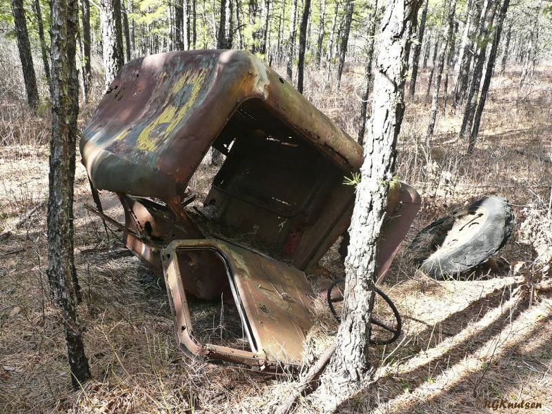
I've been wondering for a long time what's in there, it's posted official use only and in one of the WMA's north of 72. The ungated access roads to the west is blocked off by burms with trees growing out of them so they've been there a while.
Anyone know?
http://maps.njpinebarrens.com/#lat=39.854305854223774&lng=-74.39541119735719&z=15&type=hybrid&gpx=
Anyone know?
http://maps.njpinebarrens.com/#lat=39.854305854223774&lng=-74.39541119735719&z=15&type=hybrid&gpx=


