All,
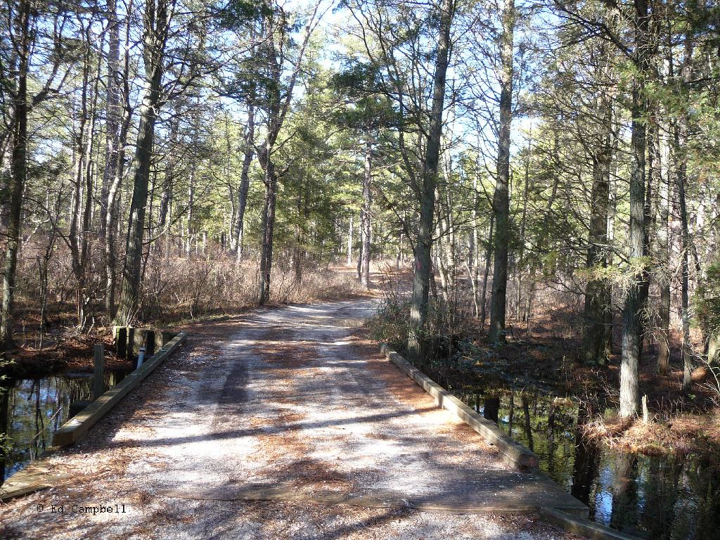
Here is another Then and Now photo at a link below. The original photo on the right was taken around 1978 and the one on the left was taken yesterday. You can really see how the trees have filled in and how much work has been done on various roads around the pines. The roads of years ago were true pine barren roads and many of the popular roads today are fake
Anyway, this photo was taken right on the Lawrence Line on the road to the old Cedar Bridge fire tower. The location is here facing 539.
http://maps.njpinebarrens.com/#lat=39.836815958658256&lng=-74.36688423156738&z=15&type=h&gpx=
The poles in the old photo were there for electricity to the fire tower. After it was moved there was no need for the poles and they were cut down. In the second photo you can see one that is still showing today.
Then & Now. Click the photo when it opens to enlarge it and then scroll right and left if need be.
http://teegate.njpinebarrens.com/04152012/Then_and_Now.jpg
One pole still evident.

Guy
Here is another Then and Now photo at a link below. The original photo on the right was taken around 1978 and the one on the left was taken yesterday. You can really see how the trees have filled in and how much work has been done on various roads around the pines. The roads of years ago were true pine barren roads and many of the popular roads today are fake

Anyway, this photo was taken right on the Lawrence Line on the road to the old Cedar Bridge fire tower. The location is here facing 539.
http://maps.njpinebarrens.com/#lat=39.836815958658256&lng=-74.36688423156738&z=15&type=h&gpx=
The poles in the old photo were there for electricity to the fire tower. After it was moved there was no need for the poles and they were cut down. In the second photo you can see one that is still showing today.
Then & Now. Click the photo when it opens to enlarge it and then scroll right and left if need be.
http://teegate.njpinebarrens.com/04152012/Then_and_Now.jpg
One pole still evident.
Guy


