
Guy,
Amato's flooded because the State or the Millers raised the road in front of it about two feet in elevation about twenty five years ago. I remember it distinctly. We used to pick blueberries from the rows near the house when my kids were little. After the fill work, the area around the house stays saturated almost all year.
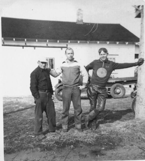
Remember this picture ? Looks okay back then. Dave on the left and Y-Buc Bill on the right.
Amato's flooded because the State or the Millers raised the road in front of it about two feet in elevation about twenty five years ago. I remember it distinctly. We used to pick blueberries from the rows near the house when my kids were little. After the fill work, the area around the house stays saturated almost all year.
Remember this picture ? Looks okay back then. Dave on the left and Y-Buc Bill on the right.

Last edited:
