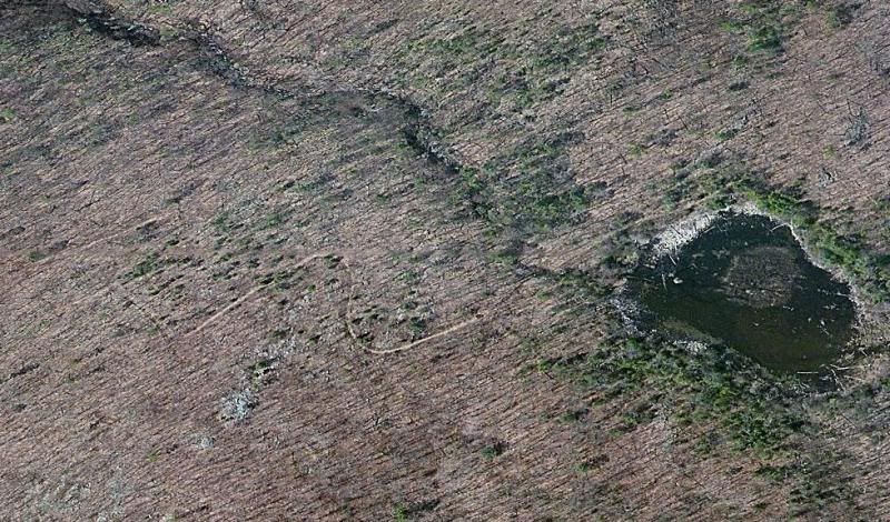
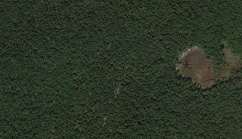
It really depends on your ultimate goal. If you just want to view them on your computer, use the Globalmapper free trial:
http://www.globalmapperforum.com/download/
It is very powerful GIS software - I use it for all my map making. It's rather expensive to purchase though. But the free version does almost everything although you cannot export data. If you create a folder and place the downloaded .zip files in it, use the Globalmapper
File > Open all files in a directory tree menu to select the folder. It will open them all and create separate layers for each (like layers in Photoshop). You don't even need to unzip the files, Globalmapper will extract the data it needs from them.
Another really powerful command is
File > Download Online Imagery. It can fill the screen with data from many different sources, including the NJGIN servers (same Ben is using for NJPB maps) and only takes a few mouse clicks. Unfortunately, I'm not sure if you can do that in the free version.
But Globalmapper can open almost any kind of geodata files you find on the web. So if you only want to look at stuff, the free version is great. And if you have a big monitor, a screenshot may be good enough for many things.
It used to be that they would give you a free 30 day trial key that unlocks all the features. Not sure if this is still available. IIRC, Al got one of those and spent the next month downloading and processing as much of the NJ imagery as he could.