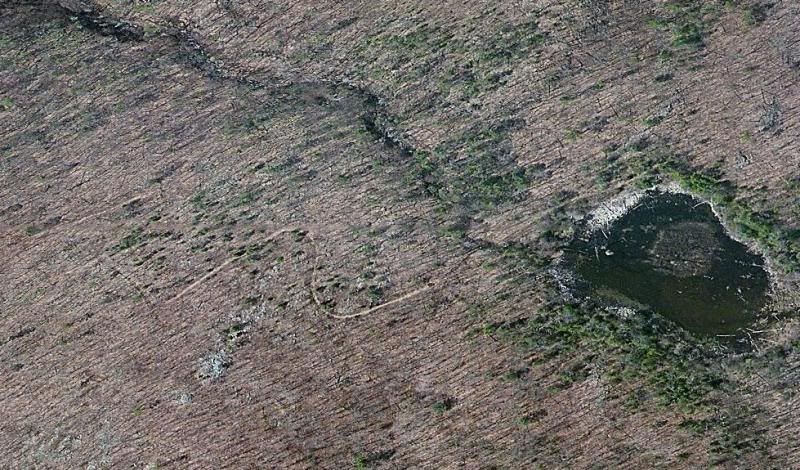
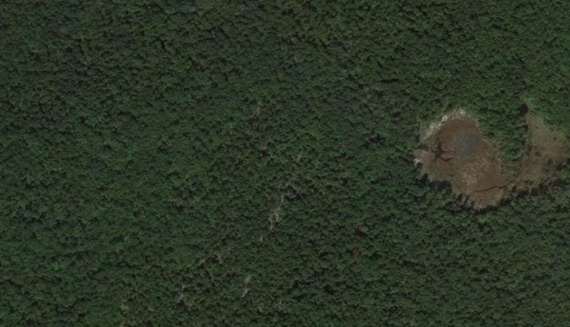
At least for the areas I tend to study the most (the NJ Highlands), I've begun to notice something. The imagery Bing maps has for the area was collected during the late fall or winter (no leaves on the trees), and the imagery Google has was taken during late spring or summer (full foliage)-is there some reason for this? Google tends to have more detail in terms of property boundaries and labeling (ie: state park lands tend to be labeled, unpaved roads and hiking trails tend to be highlighted), but I can often find unmapped roads using Bing images that otherwise are undetectable in Google-here's an example:
Bing:
Google:
Bing:
Google:

")