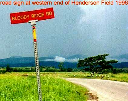
I wandered awhile in the Pasadena Fish and Wildlife Management area today, and my Magellan GPS with the US Topo map told me I was on "Bloody Ridge Road". The Garmin GPS only showed a portion of this road and did not have a name. The DeLorme 3d Topo maps don't show a name, and neither do the USGS maps. This is a section of the road https://boydsmaps.com/tz/#z=18&...ize=l&u=7&datum=nad83&layer=DRG25. It crosses over Webb Mill Branch. You can get there by turning right from Rt 539 several miles south of Whiting. Nice drive, road was in very good condition and if you follow more or less straight you end up in Bullock right where Mt. Misery Rd. meets the tracks.
Anyone have an idea where the name "Bloody Ridge" comes from. One thing that crossed my mind as I hiked around at sunset, the setting sun looked very red on the trees along the ridge. Perhaps it's just that?
Anyone have an idea where the name "Bloody Ridge" comes from. One thing that crossed my mind as I hiked around at sunset, the setting sun looked very red on the trees along the ridge. Perhaps it's just that?
Last edited:


