Cumberland County Stones
- Thread starter manumuskin
- Start date
You are using an out of date browser. It may not display this or other websites correctly.
You should upgrade or use an alternative browser.
You should upgrade or use an alternative browser.
Been out stoning a few times since posting here.This first stone is the Fath Stone one of teo 60 ft apart.The other I did not find though I found two blazes pointing at each other.It should of been between them.Ground was frozen,not much use poking.
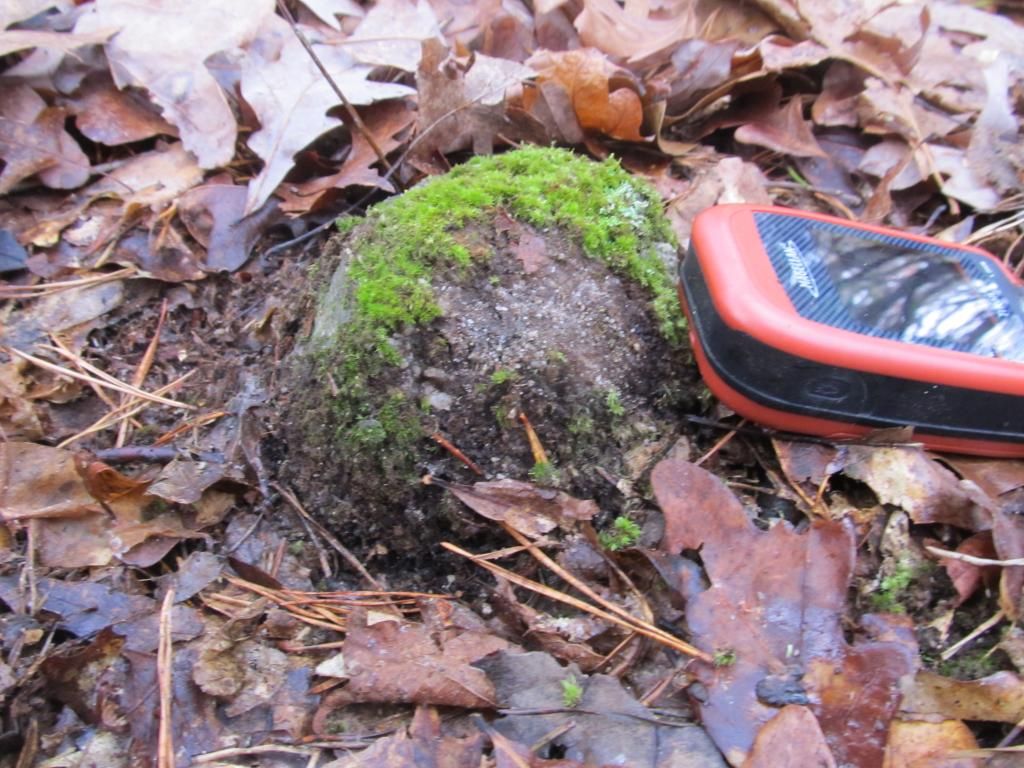
The next time I went out was much closer to home near Dividing Creek.I named this one the Swain Stone because it's on NC land adjoining Ronnie Swains property, an old family friend and my Aunts boyfriend.I had passed this stone next to the trail many moons ago,back when it was heavily posted and I was not supposed to be there.Now it's public property!I didn't even have to act sneaky!
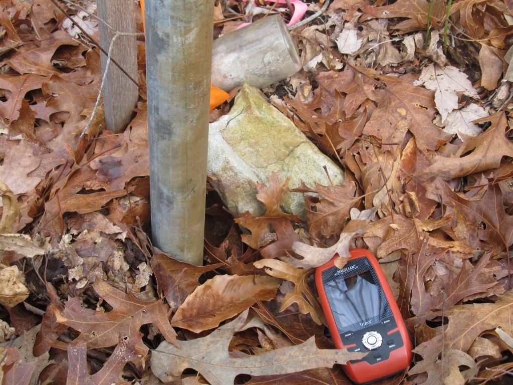
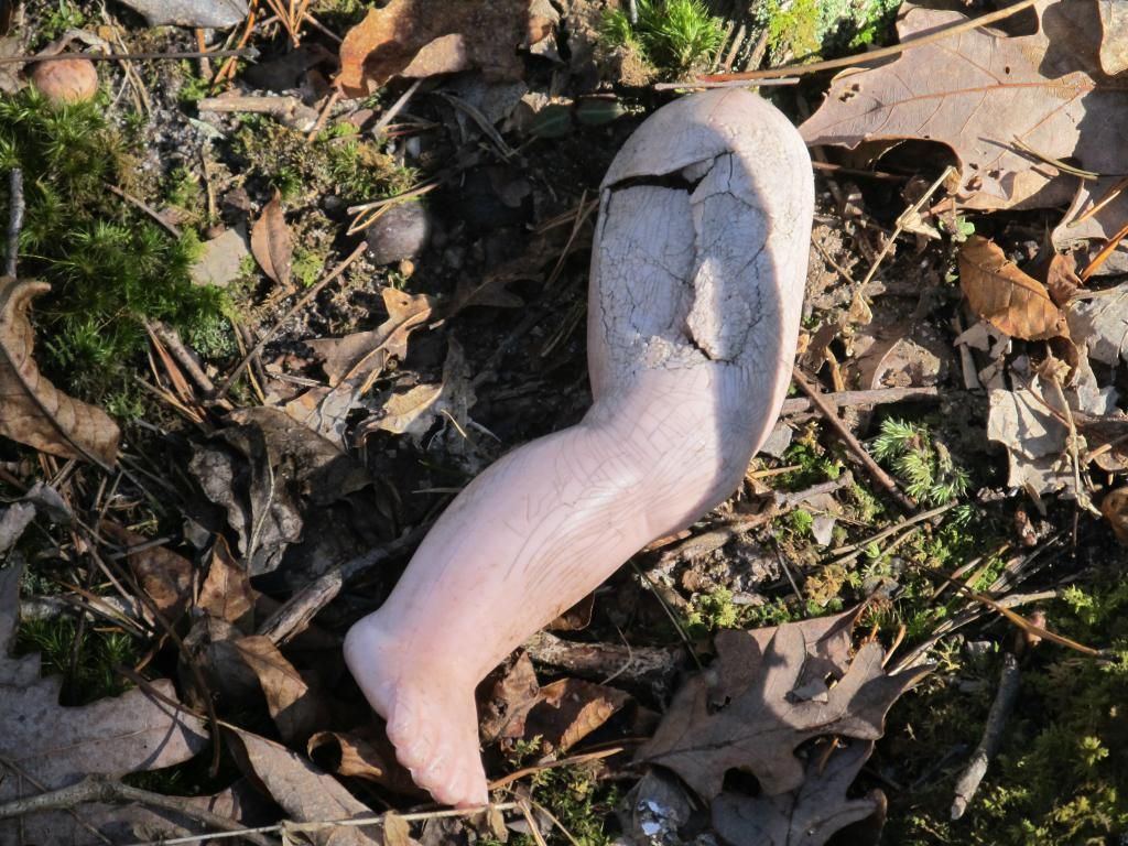
Today I went back to finish up the Lummistown Pond area and the first few locations were a bust. At the first one I found an NC sign and a plastic peg but no stone.Once again ground rock solid and not pokeable.Apparently pokable is not a word,even with an e.The second location I went to was a gorgeous hill dropping into an even purtier cedar swamp,quite an open swamp (purtier is not a word either).I found several small sawed off cedar stumps with the trees still laying there but no stone.This wasn't turning out good so I headed to the next location where I got briar mauled and found an old sign on a snapped off tree.I proceeded to dig through the frozen leaves as well as i could.I found a very small piece of stake with small piece of ribbon bu no stone.I then had to cross the Lummis Stream to the next stone.Stream crossing quite easy but 30 ft on the other side I stepped on what appeared to be frozen solid mud.Wrong move exlax.I went through past my knee highs and my back foot followed and went in just as deep.I was stuck quite solidly and did not have my trusty sidekick Sophie to pull me out.I thought about fallin backwards and wiggling out but I would have gotten soaked and it was maybe 15 out.not smart so I considered having a tantrum and thrashing my way out but I"m old and it was cold and I probably would have dislocated something.So I did my Hoola Hoop move.This gradually worked a hole around each knee and first one foot and then the other was pulled to safty but I looked like Bigfoot wiped his butt with my legs.I really thought I was going to lose at least one boot.Not good,I was over a mile from the truck but I managed to get both out while still on my feet.I was thinking of Scotts recent debacle He posted about and was wondering which of us would make the best fossil but it looks as if we'll both live to get stuck another day..In any case this location was a bust as well.Two signs plainly marking a corner on a tree next to an old raised road but no stone.I then proceeded north to a stone i did not expect to be there because it is on the border of a Sporting Clay range and i could hear em shooting over a mile away.I also knew on the aerials it looked like they were encroaching and the stone was out in a range.I was right.Luckily the shooters were further north and I seen no one but the stone location was 50 ft out into a range.I thn headed east to another bust.This location was marked by two very well blazed trees facing each other with a well used cycle trail running right between them where the stone should have been. This left two stones to go. Now I was approaching this clearing that according to the aerials had houses in it back in the 40's.It had a really nice partially rock walled cellar hole and a smaller hole about 40 ft away.As I was leaving the clearing I noticed something.Guy and I have had discussions about why as much as were in the woods we have never came upon a body and we figured it's because we often go where no one else would and hence no one would drag a body there or would manage to get there to die there.Well I found my first body today or at least a partial body.Wonder if it's been here since the 40's?
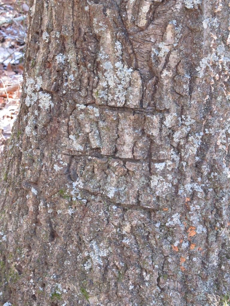
I then found the Ramah Stone after passing a more recent cellar hole that was about ten feet deep.This was the first find of the day and would have been a hard find but I had some magnificent blazes pointing the way.
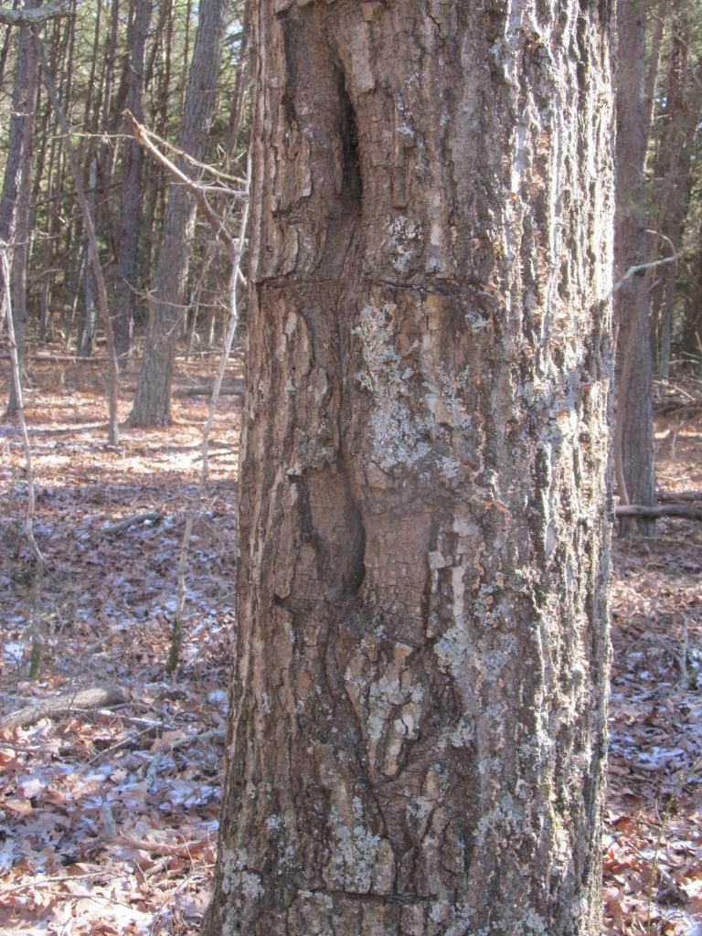
With an E for Esposito beneath them.Chainsaw Art
The Ramah Stone
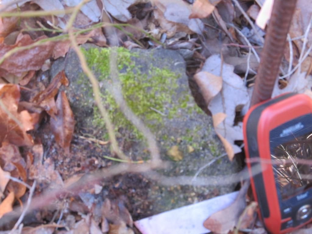
And then I had a 3800 ft bushwack to the last location.This is the Luciano stone and not a bad one.Thats it two stones for a 6.5 mile hike and over a mile of that bushwacking.The Luciano Stone
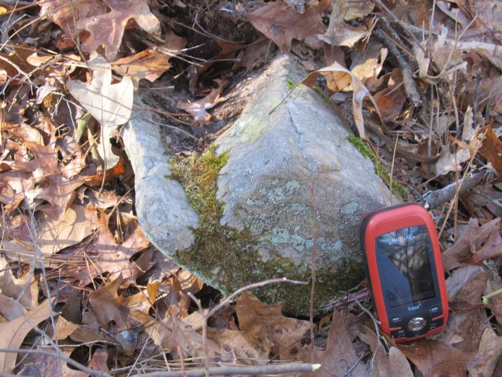
I then had a 1.5 mile walk back to the truck thankfully all on trail because that trail went through one of the worse laurel tangles I have ever seen this side of West Virginia.

The next time I went out was much closer to home near Dividing Creek.I named this one the Swain Stone because it's on NC land adjoining Ronnie Swains property, an old family friend and my Aunts boyfriend.I had passed this stone next to the trail many moons ago,back when it was heavily posted and I was not supposed to be there.Now it's public property!I didn't even have to act sneaky!

Today I went back to finish up the Lummistown Pond area and the first few locations were a bust. At the first one I found an NC sign and a plastic peg but no stone.Once again ground rock solid and not pokeable.Apparently pokable is not a word,even with an e.The second location I went to was a gorgeous hill dropping into an even purtier cedar swamp,quite an open swamp (purtier is not a word either).I found several small sawed off cedar stumps with the trees still laying there but no stone.This wasn't turning out good so I headed to the next location where I got briar mauled and found an old sign on a snapped off tree.I proceeded to dig through the frozen leaves as well as i could.I found a very small piece of stake with small piece of ribbon bu no stone.I then had to cross the Lummis Stream to the next stone.Stream crossing quite easy but 30 ft on the other side I stepped on what appeared to be frozen solid mud.Wrong move exlax.I went through past my knee highs and my back foot followed and went in just as deep.I was stuck quite solidly and did not have my trusty sidekick Sophie to pull me out.I thought about fallin backwards and wiggling out but I would have gotten soaked and it was maybe 15 out.not smart so I considered having a tantrum and thrashing my way out but I"m old and it was cold and I probably would have dislocated something.So I did my Hoola Hoop move.This gradually worked a hole around each knee and first one foot and then the other was pulled to safty but I looked like Bigfoot wiped his butt with my legs.I really thought I was going to lose at least one boot.Not good,I was over a mile from the truck but I managed to get both out while still on my feet.I was thinking of Scotts recent debacle He posted about and was wondering which of us would make the best fossil but it looks as if we'll both live to get stuck another day..In any case this location was a bust as well.Two signs plainly marking a corner on a tree next to an old raised road but no stone.I then proceeded north to a stone i did not expect to be there because it is on the border of a Sporting Clay range and i could hear em shooting over a mile away.I also knew on the aerials it looked like they were encroaching and the stone was out in a range.I was right.Luckily the shooters were further north and I seen no one but the stone location was 50 ft out into a range.I thn headed east to another bust.This location was marked by two very well blazed trees facing each other with a well used cycle trail running right between them where the stone should have been. This left two stones to go. Now I was approaching this clearing that according to the aerials had houses in it back in the 40's.It had a really nice partially rock walled cellar hole and a smaller hole about 40 ft away.As I was leaving the clearing I noticed something.Guy and I have had discussions about why as much as were in the woods we have never came upon a body and we figured it's because we often go where no one else would and hence no one would drag a body there or would manage to get there to die there.Well I found my first body today or at least a partial body.Wonder if it's been here since the 40's?

I then found the Ramah Stone after passing a more recent cellar hole that was about ten feet deep.This was the first find of the day and would have been a hard find but I had some magnificent blazes pointing the way.

With an E for Esposito beneath them.Chainsaw Art

The Ramah Stone

And then I had a 3800 ft bushwack to the last location.This is the Luciano stone and not a bad one.Thats it two stones for a 6.5 mile hike and over a mile of that bushwacking.The Luciano Stone

I then had a 1.5 mile walk back to the truck thankfully all on trail because that trail went through one of the worse laurel tangles I have ever seen this side of West Virginia.
Wonderful report, Manumuskin. Scary time out there, all alone. Many thanks for posting.
It is a photo.
A tough one to get to. Jessica was not happy about how hard it was

A tough one to get to. Jessica was not happy about how hard it was

Isn't that area burned out now? I remember walking through a big burn to get to it and it was a dirty walk but didn't seem to be that hard.maybe you went to it before the burn? I came out tiger striped and got dirty looks from Momma when I got home.
Yes it has been burned. When we went which was before it was burned the going was tough. Briers everywhere. I looked my photo's over and did not see him but I believe my brother came with us that day. His feet are much bigger than mine and he wore my waders or old boots. He also struggled because of the boot size and the briers. 3/13/2004
Al,
Here is the original thread but the links don't work. Note I mention how hard it was.
https://forums.njpinebarrens.com/threads/finds-near-atsion.883/
Here is the original thread but the links don't work. Note I mention how hard it was.
https://forums.njpinebarrens.com/threads/finds-near-atsion.883/
Funny how fire will open woods right up.I had no problem at all going through there,it was quite pretty,just starting to green back up.I came out looking like a roasted weenie though:-0
Went out stone hunting again today. Looked for seven and found five....not bad. The first one I have named "The Prison Stone because it sets on Fairton Federal Prison's southern border. Had about a 4000 ft walk from Ramah rd. to get to it.
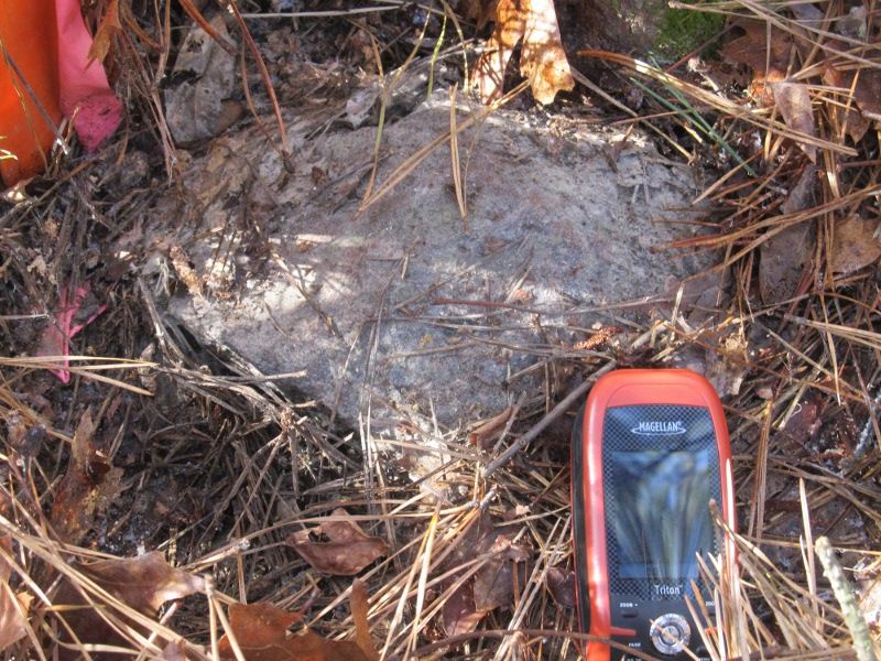
The next one was quite a long walk as well and is the Payne Stone and within site of Paynes house.Stat land all the way to the stone though.
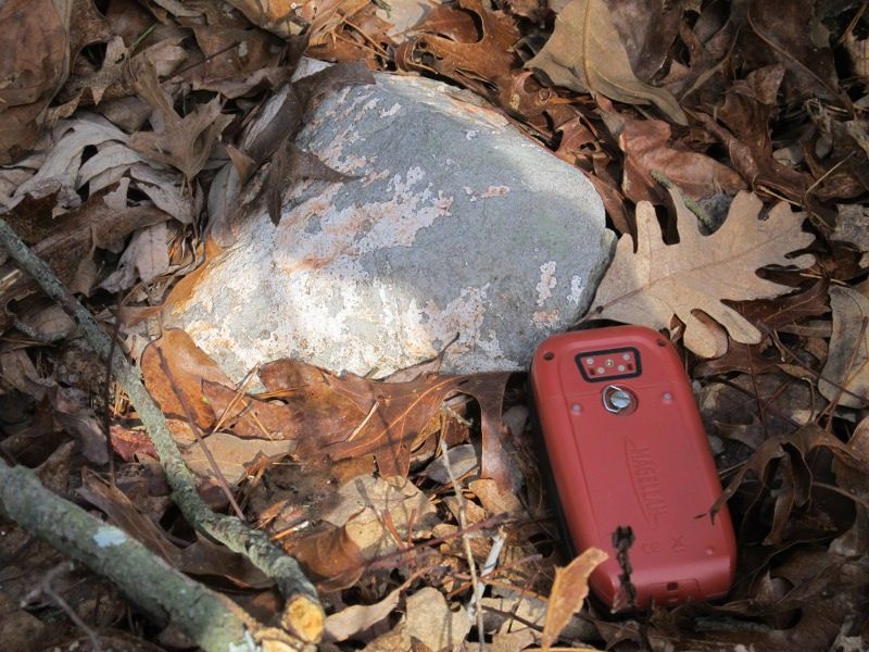
This next one is the Wolbert Stone. Actually had to cross Wolbert ground to get to it but nary a sign anywhere and judging by the fresh survey markers and cut trail I think the state may have very recently bought Wolberts land as well.
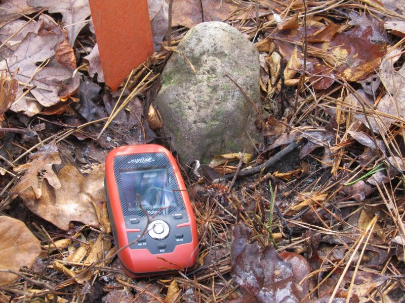
The next one about 300 ft from Wolberts Stone is the Durham Stone. It is just off the SW corner of Durhams Field and separates his land and State land.
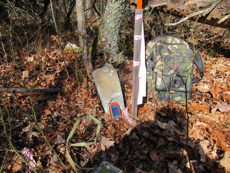
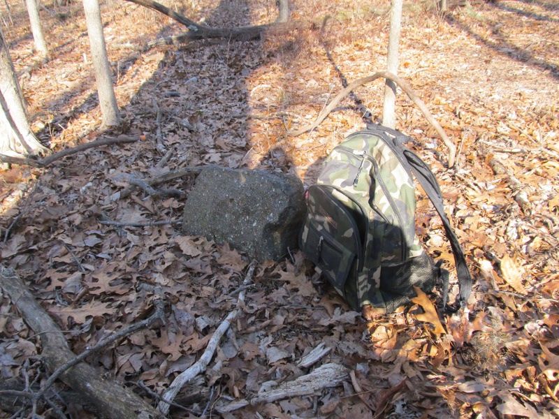
After a wickedly long walk back to the truck on which within site of the truck I took a wickedly nasty fall on my left side from slipping on mud with ice under it in the middle of a dirt road.My left side was plastered with mud,my gps was covered and left wrist sprained.Had to wrap up in a towel to keep from ruining my leather seats.Looked like I had been rolling in a pig sty.I filled the heavens with a few choice expletives and said to myself,"No I:m not going Home, I have more stones to find!" and across Buckshutem road I shot like a bullet and headed north toward 49.The next stone however was not there.No surprise,it was right on the edge of a well used woods road,found signs marking a state corner though.I then headed north along a mowed road through a very overgrown field that is now really woods.I was looking for two stones about 40 ft apart.The southern one was just a carsonite marker and pipe but no stone but the northern one was a very large jersey sandstone.I named it the "Mysteriously Posted stone" Because while surveyed to recently it should be state property on both sides now but still had two very new posted signs marking the trees immediately to it's west. No surprise down here where posting state ground is a common tactic of hunters to try and scare other folks off what they consider their woods.I have thought in the past i was trespassing for years only to have the wind taken out of my sails to find it was Millville property all along and was being illegally posted.So I was legally trespassing on illegally posted land..big let down there:-( Anyway here is the "Mysteriously Posted stone"!
I"m Tore Up from the Floor Up and have to go in Hoot Owl tonite.Sciatic and heel spurs both fired up.No more stoning till next week:-(

The next one was quite a long walk as well and is the Payne Stone and within site of Paynes house.Stat land all the way to the stone though.

This next one is the Wolbert Stone. Actually had to cross Wolbert ground to get to it but nary a sign anywhere and judging by the fresh survey markers and cut trail I think the state may have very recently bought Wolberts land as well.

The next one about 300 ft from Wolberts Stone is the Durham Stone. It is just off the SW corner of Durhams Field and separates his land and State land.

After a wickedly long walk back to the truck on which within site of the truck I took a wickedly nasty fall on my left side from slipping on mud with ice under it in the middle of a dirt road.My left side was plastered with mud,my gps was covered and left wrist sprained.Had to wrap up in a towel to keep from ruining my leather seats.Looked like I had been rolling in a pig sty.I filled the heavens with a few choice expletives and said to myself,"No I:m not going Home, I have more stones to find!" and across Buckshutem road I shot like a bullet and headed north toward 49.The next stone however was not there.No surprise,it was right on the edge of a well used woods road,found signs marking a state corner though.I then headed north along a mowed road through a very overgrown field that is now really woods.I was looking for two stones about 40 ft apart.The southern one was just a carsonite marker and pipe but no stone but the northern one was a very large jersey sandstone.I named it the "Mysteriously Posted stone" Because while surveyed to recently it should be state property on both sides now but still had two very new posted signs marking the trees immediately to it's west. No surprise down here where posting state ground is a common tactic of hunters to try and scare other folks off what they consider their woods.I have thought in the past i was trespassing for years only to have the wind taken out of my sails to find it was Millville property all along and was being illegally posted.So I was legally trespassing on illegally posted land..big let down there:-( Anyway here is the "Mysteriously Posted stone"!

I"m Tore Up from the Floor Up and have to go in Hoot Owl tonite.Sciatic and heel spurs both fired up.No more stoning till next week:-(
I"ve probably got twenty more stones that I plotted off of those online deeds.Just plotted another one in the swamp behind my mother in laws.land Trust bought the swamp.Used to belong to her trailer park.
Been out two days in a row and headed out tomorrow if it don't rain.yesterday I looked for five stones and the first one was just a monument,next three i found and last one was missing but I found the sign.The two I couldn't find no doubt because the first one was next to a road and the other was basically in a plowed field that had encroached a little over the line. The three I did find were all a little on the small side.I call them the daddy stones because they are all quite close to my Dads.The first one is North Daddy because of course it's 400 ft north of the other two.
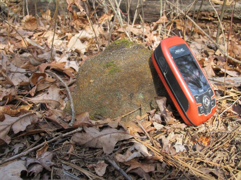
The next one is the South Daddy because the Middle and South Daddies are only 60 ft apart and the South daddy was marked sith a big Carsonite marker and a lot of Ribbon and as I neared the location of them I saw the marker and stuck the gps in my pocket and ran for it.I assumed it was the Middle one but after photographing it and starting to navigate to the south one I realized I was at the south one and had overshot Middle Daddy.I backtracked and I had almost stepped on it. A small barely noticeable ribbon was smashed into the ground beside of it. Here is South Daddy.
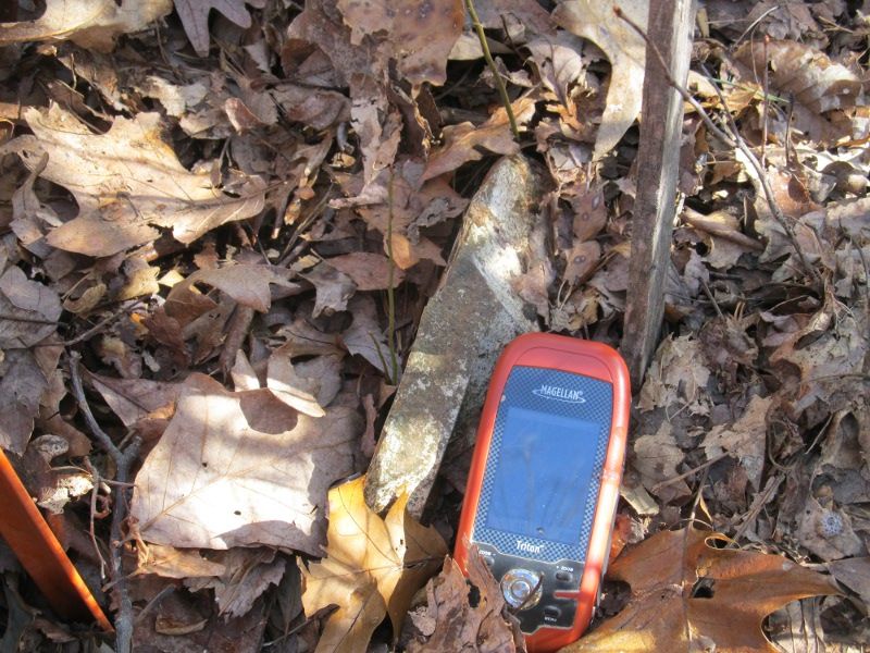
and 60 ft away is Middle Daddy.
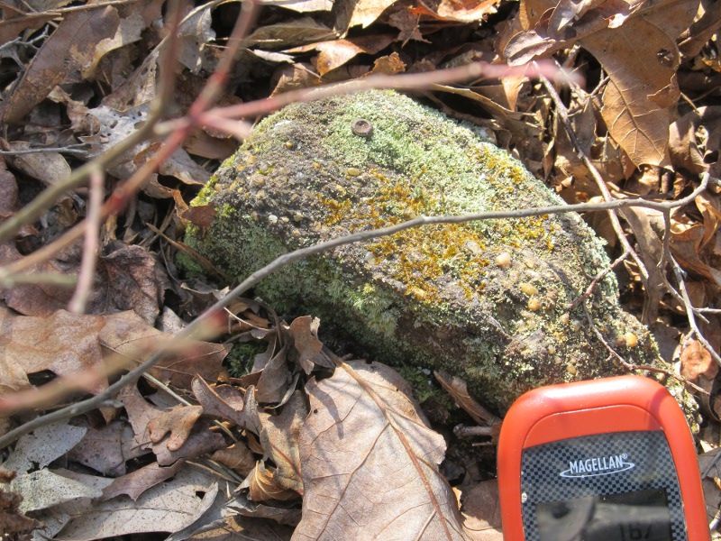
If the stones weren't so small you could easily see them from each other.
Then today I decided to head out to Fairton Road to a patch of woods I knew from experience was infested with natural barb wire. The first one is the Fairton Road stone because it is very close to the road. If you look close you can just see the top of my truck behind the stone across the road less then 100 ft away.This is the south face.
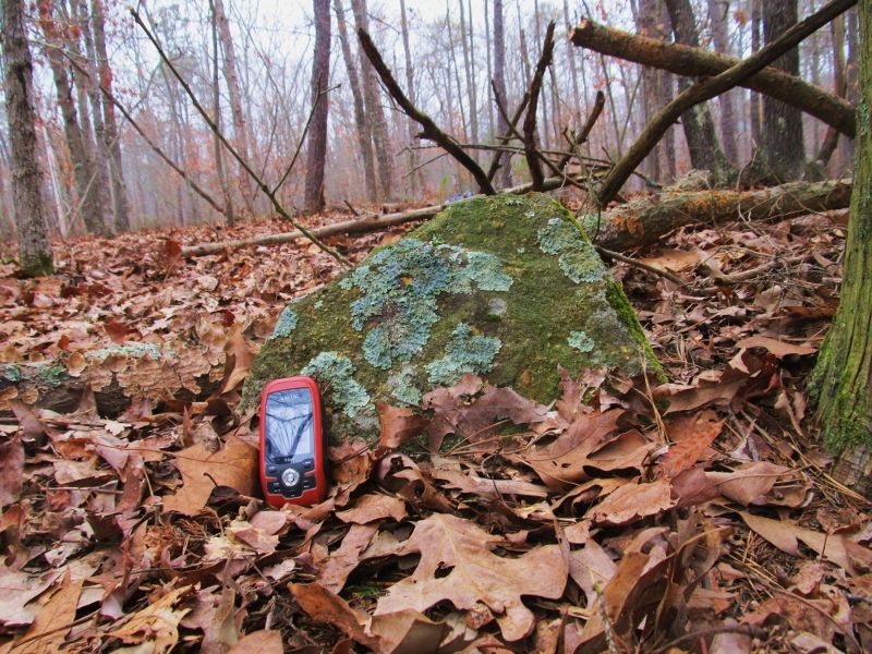
and the north face,I liked the fungi so I included both shots.
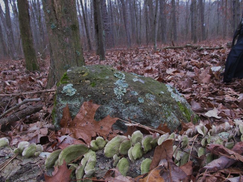
The next one is Fairton Vernal stone.A stones throw from a nice vernal pond.Look close for an accompanying monument.This would be a very nice stone if it was upright.
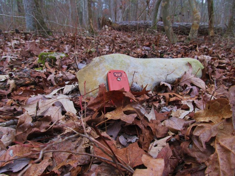
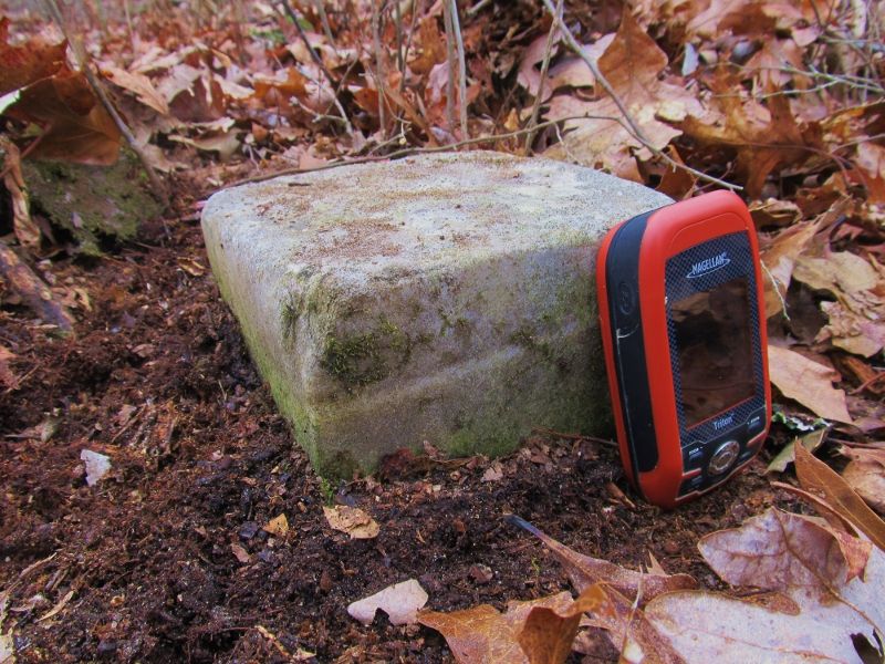
This stone is the Fairton Square stone.The Deed listed a stone but at first I swore this was a concrete monument.Nope! Upon closer inspection it is solid cut rock!
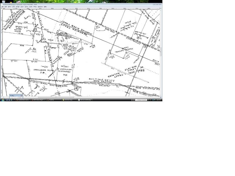
I then crossed the street and went looking for a stone shown on the Hartman map 6.I had no aerial for this area and the topo is out of date since an existing field was made much bigger since the map was made.My uncle used to live in the large red house further west in the middle of a big field when i was a kid and I used to run this new field when it was still woods looking for snakes and building forts.About 20 years ago they greatly extended the field east to the stone to make a tIn any case the woods east of the field ree farm.Cut down trees to plant trees??? Got me?In any case I headed up a trail through the state woods east of the field and then angled NW toward where I thought I remembered the field extending to on the aerials on the computer.I hit the field just south of where i thought the stone would be.I intended to walk up the edge of the field but the eight foot high deer fence with three strands of barb wire on top of that stopped me cold so I had to beat up[ the inside of the fence through thick red cedar trees.There were large hills of dirt pushed up twenty years ago when they cleared the field east.I thought okay they've buried any stone that was here.A couple hundred yards further I came to the fifteen degree bend in the field and fence i was looking for and there it was On the wood side of the fence with me! The Large Stone sown on the hartman.I named it the Hartman Fence stone.First the map
and then the stone
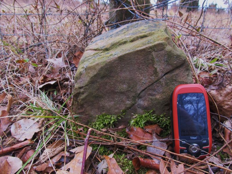
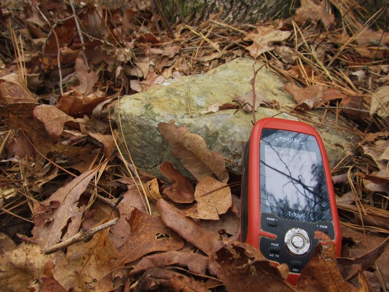
Then on a stone high I headed back for Fairton Road and headed south across Whitemarsh Run and found my last stone of the day.I was within sight of a house and on their property edge.They had cleared into the woods next to their field right up to the stone and their line.Quite purty woods with a bright blue picnic table about 50 ft from the stone.heres the stone.
A very good day. Off to Seabreeze tomorrow to find some more.I"ll get some photos of something in Seabreeze that Whip hasn't photographed yet

The next one is the South Daddy because the Middle and South Daddies are only 60 ft apart and the South daddy was marked sith a big Carsonite marker and a lot of Ribbon and as I neared the location of them I saw the marker and stuck the gps in my pocket and ran for it.I assumed it was the Middle one but after photographing it and starting to navigate to the south one I realized I was at the south one and had overshot Middle Daddy.I backtracked and I had almost stepped on it. A small barely noticeable ribbon was smashed into the ground beside of it. Here is South Daddy.

and 60 ft away is Middle Daddy.

If the stones weren't so small you could easily see them from each other.
Then today I decided to head out to Fairton Road to a patch of woods I knew from experience was infested with natural barb wire. The first one is the Fairton Road stone because it is very close to the road. If you look close you can just see the top of my truck behind the stone across the road less then 100 ft away.This is the south face.

and the north face,I liked the fungi so I included both shots.

The next one is Fairton Vernal stone.A stones throw from a nice vernal pond.Look close for an accompanying monument.This would be a very nice stone if it was upright.

This stone is the Fairton Square stone.The Deed listed a stone but at first I swore this was a concrete monument.Nope! Upon closer inspection it is solid cut rock!

I then crossed the street and went looking for a stone shown on the Hartman map 6.I had no aerial for this area and the topo is out of date since an existing field was made much bigger since the map was made.My uncle used to live in the large red house further west in the middle of a big field when i was a kid and I used to run this new field when it was still woods looking for snakes and building forts.About 20 years ago they greatly extended the field east to the stone to make a tIn any case the woods east of the field ree farm.Cut down trees to plant trees??? Got me?In any case I headed up a trail through the state woods east of the field and then angled NW toward where I thought I remembered the field extending to on the aerials on the computer.I hit the field just south of where i thought the stone would be.I intended to walk up the edge of the field but the eight foot high deer fence with three strands of barb wire on top of that stopped me cold so I had to beat up[ the inside of the fence through thick red cedar trees.There were large hills of dirt pushed up twenty years ago when they cleared the field east.I thought okay they've buried any stone that was here.A couple hundred yards further I came to the fifteen degree bend in the field and fence i was looking for and there it was On the wood side of the fence with me! The Large Stone sown on the hartman.I named it the Hartman Fence stone.First the map

and then the stone

Then on a stone high I headed back for Fairton Road and headed south across Whitemarsh Run and found my last stone of the day.I was within sight of a house and on their property edge.They had cleared into the woods next to their field right up to the stone and their line.Quite purty woods with a bright blue picnic table about 50 ft from the stone.heres the stone.

A very good day. Off to Seabreeze tomorrow to find some more.I"ll get some photos of something in Seabreeze that Whip hasn't photographed yet

The one off the hartman map is not far from and NW of the other three we were talking about.I checked the other route in today and it's solid posted as well. Have to find a legal way in 

Went to DIX WMA today and found three more stone,some nice ones too.I looked for eight and found four.One was right next to a road and I found a ribbon hanging where it should been but it was right on the road edge.Three more I had to plot over 30 stations to get to and I think I made a booboo somewhere because I only found one carsonite marker 100 ft off of one coord and nothing anywhere else.I think the marker was unrelated.Gonna have to replot that one but on the Eagle Manor rectangle I found three of the four corners.Corner number 2 the NE corner I found ribbon at a 90 degree angle in a water filled and frozen ditch but the stone was either buried on the corner or it fell into the ditch.Might go back in spring and check the ditch for that one.Bot the first one I went to I found would be the NW corner. It was under a deer stand and next to a tree with a "Commercial Hunting Club" posted sign on it.I found several of these signs on what should be state land and some on borders I was unsure about so not sure if their now defunct or if there still is some hunting preserve land there.Here is the stone.
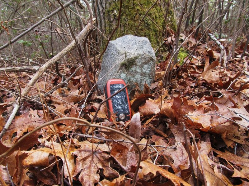
Then I went to the ne corner but as i said only ribbon there.Sophie walked out onto the ice and promptly fell through.It looked like a deep ditch and she was swimming in the open area.I thought of no,here I go.Gotta perform another deep water dog rescue and this will be the end of my stone hunt today but she turned around and I don't know how she did it but she swam right up onto the ice and walked down the ditch like it was an every day trick.I"ve fell through ice in deep water and it is not easy to get back on the ice.She made it look magic.She tried to climb up the bank first but it was steep and slick clay so she turned around and swam up onto the ice.I need to learn that trick.I then headed south to the se corner and this is what I found!
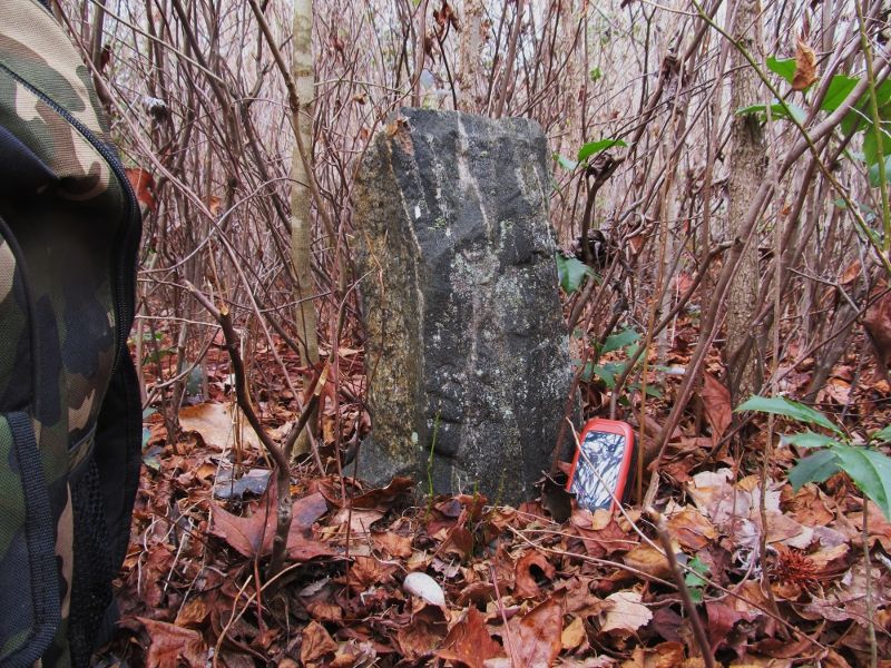
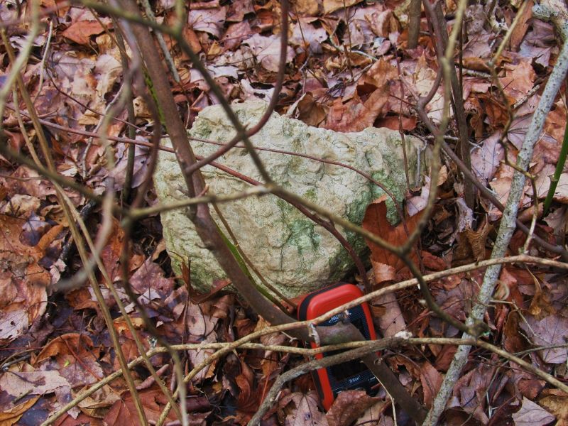
This was mid thigh high and a very nice stone.Down in a thick patch but next to a magnificent holly grove.A very cool stone indeed.And then I went off to look for the three I couldn't find since their plot was adjacent to this one.I then headed for the last and sw corner of the Eagle Manor plot.I found the stone after some searching.It was next to another magnificent holly grove but down in a mess of briar next to a frozen swamp pond with another one of them signs next to it.This is a weird stone,very white and scalloped and looks like chert or limestone.Reminds me of fluted cave rock.I couldn't even belly down for a better pic because of the briars but still got s decent pic.

Then I went to the ne corner but as i said only ribbon there.Sophie walked out onto the ice and promptly fell through.It looked like a deep ditch and she was swimming in the open area.I thought of no,here I go.Gotta perform another deep water dog rescue and this will be the end of my stone hunt today but she turned around and I don't know how she did it but she swam right up onto the ice and walked down the ditch like it was an every day trick.I"ve fell through ice in deep water and it is not easy to get back on the ice.She made it look magic.She tried to climb up the bank first but it was steep and slick clay so she turned around and swam up onto the ice.I need to learn that trick.I then headed south to the se corner and this is what I found!

This was mid thigh high and a very nice stone.Down in a thick patch but next to a magnificent holly grove.A very cool stone indeed.And then I went off to look for the three I couldn't find since their plot was adjacent to this one.I then headed for the last and sw corner of the Eagle Manor plot.I found the stone after some searching.It was next to another magnificent holly grove but down in a mess of briar next to a frozen swamp pond with another one of them signs next to it.This is a weird stone,very white and scalloped and looks like chert or limestone.Reminds me of fluted cave rock.I couldn't even belly down for a better pic because of the briars but still got s decent pic.

