
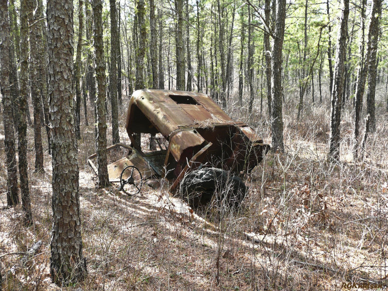
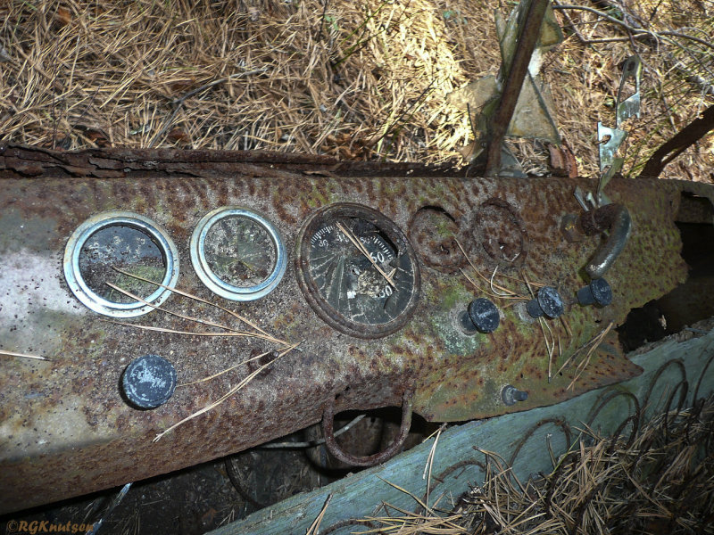
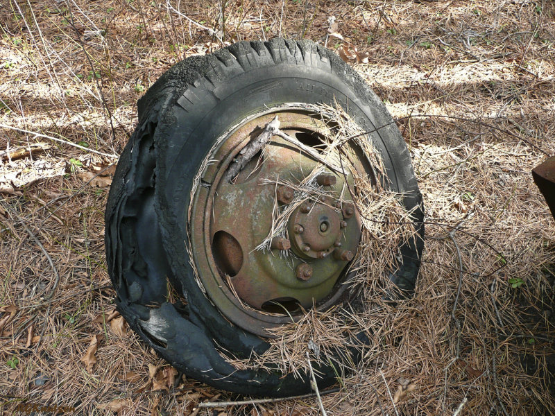
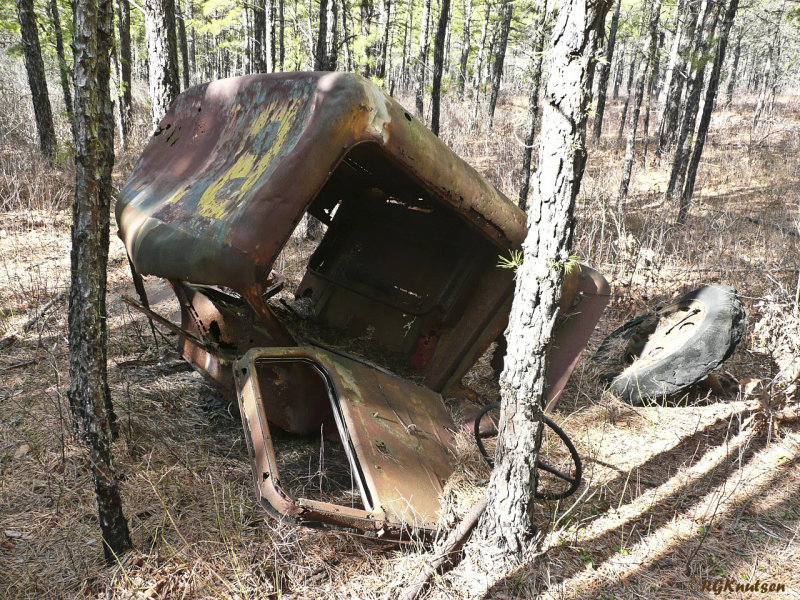
Does anyone have experience with hiking in Greenwood Forest WMA? I have seen reference to it on the 'net and I drive past it when going to other locations. It looks interesting.
I've seen the topo maps from NJF&W for the location, but I haven't seen trail maps available anywhere. If I have a topo map and a compass, is it easy navigation, or is it an endless web of confusing sand roads, etc?
Also, any safety concerns? Any interesting points to see? Any other issues or advice, etc?
Feel free to PM me if info is sensitive for some reason.
Thank you for any info that you can share!

")
")