Hello all,
I stumbled across this fourm and it seemed really interesting, a big "whats up" and happy to be here....
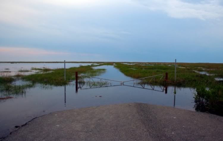
I noticed a few posts on Sea Breeze, NJ along the Delaware Bay. I'm really looking to check it out to do some photography and had a few questions for any members that may have traveled there before:
1. Is there public parking? (I don't want to inadvertently park on someone's private property).
2. Is it safe? (road-wise I guess).
3. Are the locals hostile to outsiders visiting?
I ask about locals being hostile because I do not want them to think I'm some Weird NJ-type that wants to go there to cause trouble/vandalize things, etc. I'm really just curious and want to take some great pictures, I'd completely respect the area and it's residents. Any help would be appreciated, thanks for looking!
-Mike
I stumbled across this fourm and it seemed really interesting, a big "whats up" and happy to be here....
I noticed a few posts on Sea Breeze, NJ along the Delaware Bay. I'm really looking to check it out to do some photography and had a few questions for any members that may have traveled there before:
1. Is there public parking? (I don't want to inadvertently park on someone's private property).
2. Is it safe? (road-wise I guess).
3. Are the locals hostile to outsiders visiting?
I ask about locals being hostile because I do not want them to think I'm some Weird NJ-type that wants to go there to cause trouble/vandalize things, etc. I'm really just curious and want to take some great pictures, I'd completely respect the area and it's residents. Any help would be appreciated, thanks for looking!
-Mike
")