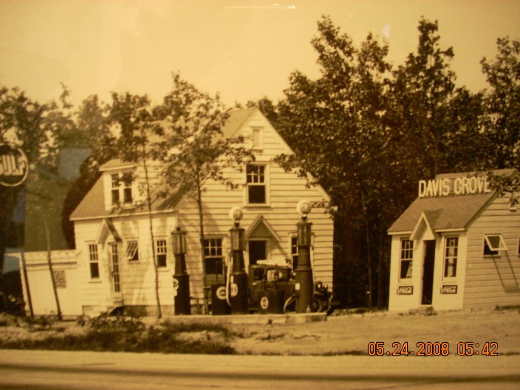
Okay, Folks. I was in Mount Holly today, so I copied the Route 40 drawing and the deed for the property. The survey stations shown on the plan I posted in a previous message are 100 feet apart as the scale on the original drawing is 1"=50' and those station lines are 2" from one another. The diagonal road appears to be a shortcut route to get to the main Burrs Mill-Bozarthtown Road that remains in place today.
To quote the deed (Book 802, p. 454) in setting the beginning point on the southeastern boundary marker on the property known as tract no. 2: “BEGINNING at a point in the last course of the tract or land described as tract number three (3) in the deed of conveyance Haines to Kennedy; said point being nine hundred sixty four and eight tenths feet eastwardly from the beginning corner located in the centre of what is known as Bozarthtown and Burrs Mill Road…”
So, if you want an exact location for the Davis Grove filling station, the westernmost monument should be found at 798.49' from the center of the present Burrs Mill Road.
Best regards,
Jerseyman
P.S. Doug—if you want the drawing and deed copies for your files, just drop me an email with your snail-mail location. Your wife has my email address.


