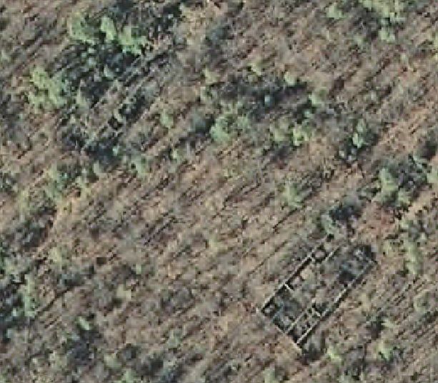
As I have said on the other thread about Amatol, one of my pet projects has been exploring and trying to map out the area. I started this in November or early December with my friend Pete, who was shortly thereafter deployed overseas to Qatar/Iraq. We originally went out there after a new geocache that was published. The description of the area that the cache was supposedly placed listed 6 or more ruins of buildings. We went to the coordinates and they were obviously wrong. There were no ruins (nothing except a deer stand) and no geocache. I had been to the area before and never saw 6+ ruins that close together, so we were immediately intrigued. A few days later, we met out there and began exploring the area. We walked along the longitude and then the latitude lines, thinking that they had been mistaken. We eventually found the ruins of the 9 (not 6) buildings. The ruins were on private property (and after running into some guys from the gun club they belonged to, I have since acquired permission to explore the area).
When Pete and I were out there exploring, we marked a bunch of waypoints on our GPS units with hopes of getting back out there to explore again. I had it in my head that I would get to all the spots and take photos, do research and map out the entire area before he came back from deployment. Well, life once again got in the way and realizing that he was coming back in a couple of weeks, I decided to head out there on Thursday and get some of the picture taking/mapping out of the way. I had full intentions of going to all the waypoints that we marked, but only made it about 1/3 of the way. I spent 4-5 hours in the area and started to get spooked when I kept hearing other people in the area.
My idea of this thread is to keep you all updated on my progress of exploration and get your ideas/thoughts on some of the areas/ruins I have found. The next couple of posts will document....


