“Rough and Tumble Pine Plains," A PBX Hike

Teegate

Administrator
Site Administrator
Sep 17, 2002
25,951
8,695
All,

On 2/21/2016 all members of PBX received the following edited announcement for our next hike.


Boys,

I have the distinct pleasure of informing you that we have a PBX explore scheduled for 8:45 am, on March 26. The title of this trip is “Rough and Tumble Pine Plains”. This trip is 4.1 miles long as the crow flies. This area is immediately north of the Pine Barren village of Warren Grove and just west of route 539.

We will touch into small areas of the West Plains and the Little Plains, in addition to other Plains-like woods. For a brief time we’ll dip into the upper right arm of the Plains Branch, and near the end we have to cross a small tributary of the Oswego that rises out of the heart of the West Plains. I can promise you this is wild, fascinating country.

Let me know if you are in. We’ll pull down a sheet of greasy parchment paper and charcoal your name in.

Happy Trails!

Bob


image002.jpg


Attending on this adventure was:

Bobpbx and his friend Jan
Jessica
Teegate (Me)
Hewey
RednekF350
Smoke_Jumper
Woodjin
Mark Szutarski
Lost Town Hunter
Eric (friend of Hewey)


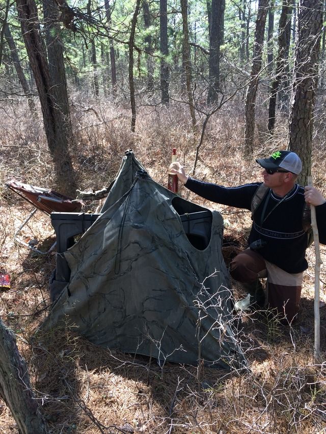
At 9AM we began our journey and after traveling for quite a while we came up two small tents that were deteriorating. We determined them to be a hunting blind with a chair in one and a plastic saw horse in the other that a hunter had left behind.

IMG_2513.JPG


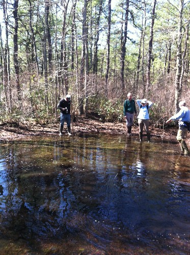
At one of the spungs Bob captured a few just born tad poles in his hand.


IMG_2514.JPG


This was in my opinion one of the nicest places we visited today.

IMG_2515.JPG


IMG_2517.JPG


Complete with salt lick and water trough.


IMG_2519.JPG


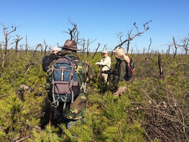
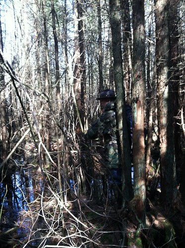
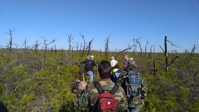
Most of our day looked like this.


IMG_2523.JPG


We planned our route to just skim a corner of the sand plant property and here is that corner.


IMG_2526.JPG


And when the hike was over almost 6 miles later a few other members of this site were there to greet us. Included in the below photo are Turtle, Oji and Pinelandpaddler and his fiancée Ann.


IMG_2533.JPG


Here are two short segments of our day if you are interested.


Guy
 

bobpbx

Piney
Staff member
Oct 25, 2002
14,659
4,838
Pines; Bamber area
Guy, thanks for your help and support. It was a great day. We gave it a 9. Scott and Chris were helpful in logistics support, and Scott's food was outstanding today. And Terry, thanks for coming along on the back end with food and beverage support! It was nice to see everyone. This was a very rough day, but the weather made it all worth it.

Chris, my Boyd's Field guide indicates this is a Flat-headed Pine Borer (Chalophora virginiensis).
Pine Borer.PNG

Male Fence Lizard
liz.PNG

From the ridge
from ridge.PNG

Color Trail
color trail.PNG

Sign
Mine.PNG

Into the Clear
intoclear.PNG

The Plains
Zplains.PNG
 

RednekF350

Piney
Feb 20, 2004
5,054
3,327
Pestletown, N.J.
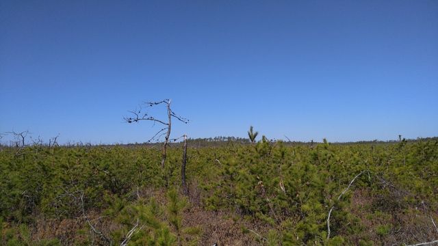
A wondrous day in the wild and rugged Plains.
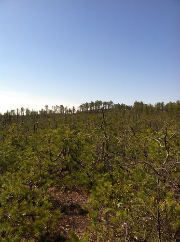
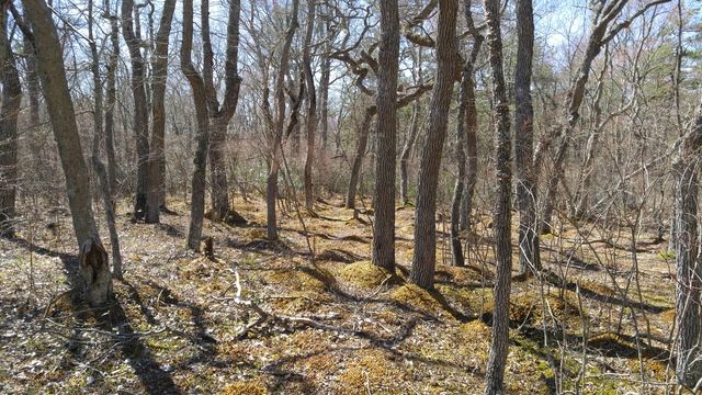
The beauty here is defined by its starkness and unforgiving dense vegetation. Pines and scrub oaks compete for every ounce of moisture and light and a canopy never truly develops.

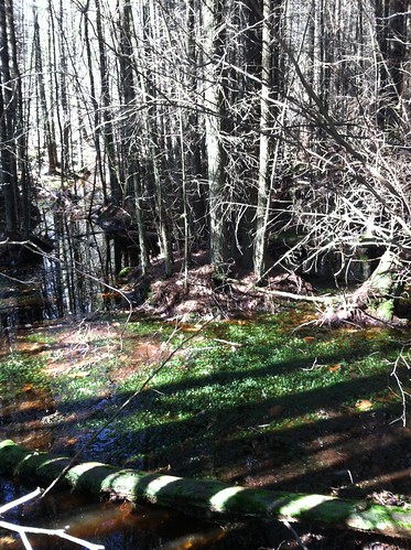
The later parts of the hike provided a little contrast by taking us through a pitch pine lowland and finally, a white cedar swamp.

The weather was stellar for this kind of pull through the brush and the after-party crowned the day.

Here's Bob making it appear as if he knew what he was talking about. We know better.


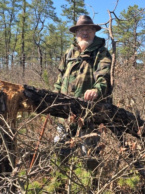
The Sage of the sage, Ted Gordon. He has forgotten more than all of us will ever know about the pines.


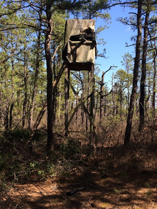
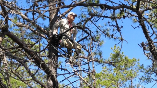
True Redneck construction techniques. Carpeting for sheathing and an extension ladder access.


The high rent district. A two section tent with a bottle of Valenzano's red.
 

bobpbx

Piney
Staff member
Oct 25, 2002
14,659
4,838
Pines; Bamber area
I have to say that "centipede" was my favorite waypoint. I forgot to snap a shot of it. What a cozy little copse of trees that is.
 

smoke_jumper

Piney
Mar 5, 2012
1,606
1,164
Atco, NJ
Upon further I think I would give it a 9 instead of the 8 yesterday. We covered a wide range of terrain in one day and the weather and company couldn't have been any better.
image.jpg
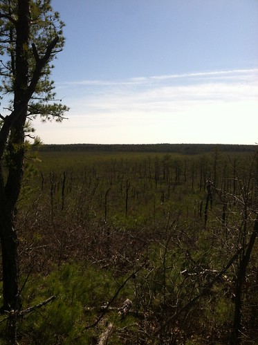
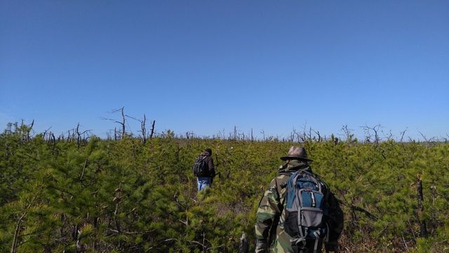
Looking out over the plains.
image.jpg
Not to be outdone by Bob, Guy was catching up:)
image.jpg
After a long day our finish line is just on the other side of this cedar swamp.
 
  • Like
Reactions: Hewey and Teegate

Hewey

Piney
Mar 10, 2005
1,042
110
Pinewald, NJ
As always, the hike Saturday was a great time!

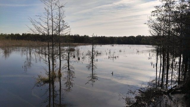
A pond at the start of the hike.


Scott and Ted in the plains.


PBX making their way across the plains heading to the ridge.


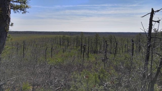
The ridge in the distance.


The view from the ridge.


A Gum swamp with some Maple and Magnolia in the mix.


Bob taking in the view from a deer stand that looks out over the plains.


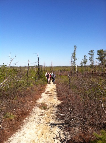
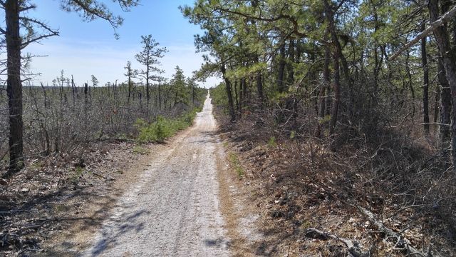
A classic pine barren sand road.


Chris
 

smoke_jumper

Piney
Mar 5, 2012
1,606
1,164
Atco, NJ
I was wrong about the fire. I found a 2010 aerial on Google Earth that shows the ground was burned, but it was unburned in 2008. Here's an article somewhat related, but I'm still looking for a 2009 or 2010 fire notice.

http://www.pressofatlanticcity.com/...cle_d7527416-f9ed-11df-aec3-001cc4c002e0.html
I was thinking 2010 but haven't had a chance to research it. The FFS website has a interactive map that you can click on each fire and it gives you a date for the fire
 

1Jerseydevil

Explorer
Feb 14, 2009
567
214
Great pictures. Isn't the plains dissected by a few township property lines and county line?
Chris, If I'm not mistaken that "classic pine barrens sand road" is really one of the boundary lines. While it has become a road I wouldn't classify it a "typical pine barrens" road. I do like the shot and understand your meaning.
 

Teegate

Administrator
Site Administrator
Sep 17, 2002
25,951
8,695
And on the county line it appears the FFS took out a major county stone that has been there since the 1870s. I found it about 10 foot away laying on the ground by the pile of dirt from the dozer.
 
  • Like
Reactions: manumuskin

1Jerseydevil

Explorer
Feb 14, 2009
567
214
JD, yes, we were on the old Burlington County line when he took that photo.
I was in that area recently and thought the photo looked familiar with the "burn" on one side and the "saved" pines on the other side. The FFS really widened the county line during the forest fire. At one point where the county line narrows and goes off into the woods another township like intersects and they bulldozed that line to contain the fire. Is this the point where where the property stone was located Teegate?
That is a nice "isolated" area.
 

Teegate

Administrator
Site Administrator
Sep 17, 2002
25,951
8,695
At one point where the county line narrows and goes off into the woods another township like intersects and they bulldozed that line to contain the fire. Is this the point where where the property stone was located Teegate?
That is a nice "isolated" area.


Not exactly but very close. Burlington County actually does not turn at that intersection, it turns at the Little Egg Harbor Township intersection which is about 450 feet away. In any event you are basically at the correct location.

I did not take a photo of the stone out of the ground but I know Lost Town Hunter did. Did anyone else on the hike that day take a photo of it?
 

Barry_Timony

New Member
Feb 17, 2016
21
0
27
Forked River
Are these hikes open to members of the site? I never understood what PBX actually meant. (I'm relatively new to the site). I'd love to go on some of these hikes with you guys when my Spring Semester in school ends...
 

smoke_jumper

Piney
Mar 5, 2012
1,606
1,164
Atco, NJ
Not exactly but very close. Burlington County actually does not turn at that intersection, it turns at the Little Egg Harbor Township intersection which is about 450 feet away. In any event you are basically at the correct location.

I did not take a photo of the stone out of the ground but I know Lost Town Hunter did. Did anyone else on the hike that day take a photo of it?
No I missed that photo opp :(
 

bobpbx

Piney
Staff member
Oct 25, 2002
14,659
4,838
Pines; Bamber area
Are these hikes open to members of the site? I never understood what PBX actually meant. (I'm relatively new to the site). I'd love to go on some of these hikes with you guys when my Spring Semester in school ends...

Hi Barry. PBX is short for Pine Barren Explorers. At times we open it to all on the board, but we usually never get anyone who wants to come. I'll start a conversation with you via the internal message system on this site.
 
Top