....
Attachments
-
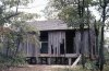
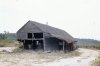 abandoned barn, duke's bridge, NJPB 22sep1971.jpg736.8 KB · Views: 541
 -
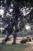
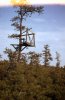 deer hunter's platform njpb 21sep1971.jpg654.5 KB · Views: 514
 -
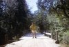
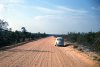
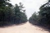
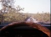 Driving through the NJPB in my '75 Subaru, May 1975.jpg776.5 KB · Views: 483
 -
 Me on NJPB bridge 1972.jpg961.2 KB · Views: 530
 -
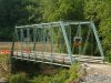
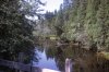 NJPB Nov 1972 - bridge - river.jpg871.7 KB · Views: 527
 -
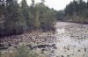
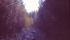
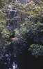 njpb pine branch creek 22sep1971.jpg721.7 KB · Views: 532
 -
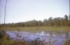
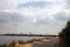 NJPB reservoir lake by simm place 22Sep1971.jpg745.9 KB · Views: 516
 -
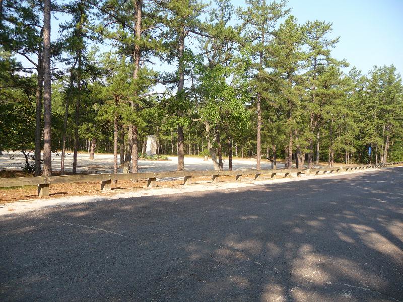
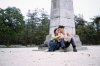 Carranza Memorial, Jul1973.jpg308.6 KB · Views: 527
")