I'm thinking that the map they use for the beginning of the process should have every road, trail and firecut on it so they all can be included in the decision making.
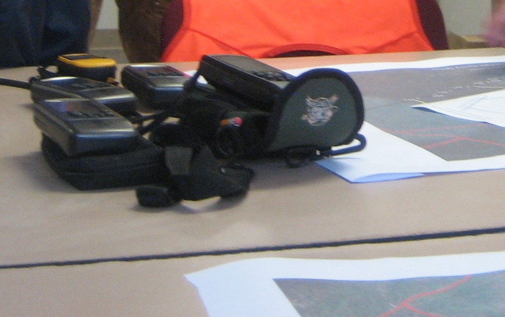
I know that the firecut information doesn't exist yet, one of my Scout's Eagle Projects was fundraising for GPS systems and mapping miles of firebreaks just in Wharton, and he barely scratched the surface. Had a second Eagle Project map more of those firebreaks for the state park service. It would take dozens and dozens of them to do them all though, even just in Wharton.
Roads and trails should be easy enough to do though, there was already the older topo map that had that information for the roads, and there simply aren't that many trails out there to overlay.


