Tuesday with Alfie
- Thread starter whippoorbill
- Start date
You are using an out of date browser. It may not display this or other websites correctly.
You should upgrade or use an alternative browser.
You should upgrade or use an alternative browser.
I want more! we still have A island and B island and the circular bushwack that was right down embarrassing.then the big island.a five mile route of Barren splendor.
http://bagrbuck.com/media.html
heres what we found on the island.
Alfie
You found the bag?
Guy
By the way we have come up with a name for atributary of the Tulpehocken that seems to be nameless.it enters the toop here
39.72813° N
74.59225° W
We christen it (unless it has already been named.let us know)
Temakwehocken
Temakwe being Lenape for beaver and hocken/hickin/haukem all being derivatives of the Lenape word for creek/river/stream.
this stream has two large beaver dams on it we have found so far and one humongous lodge.hence the name.
I believe Jeff/Woodjin kayaked this stream earlier this year so we will defer to any name Jeff may have otherwise this will be the name we give it.
Al
You found the bag?
Guy
yes Guy we found a bag of it hanging from a branch on an island next to the tulpe.didn't know what it was but it smelled like pipe tobaccy.had Bag r Buck .com on the back.this is the site.
Al
You can see our waypoints from the PBX Tip Toe hike in relationship to your Tuesday visit.

Guy
i see you guys walked up the most beautiful island next to the upper Tulpe.where did your tracks go northwest of there? a couple of very remote little islands up that way that I'd like to know if you hit.Big swamp in there but a lot of easy walkin medders can facilitate your trip through it if you route it well.
Al
This is a follow-up to post # 279 representing part two of today's Tuesday with Alfalfa journey.
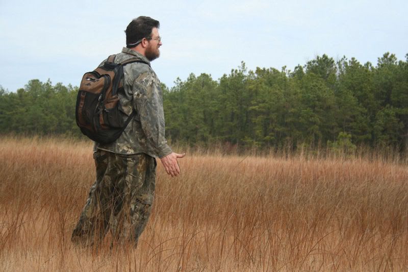
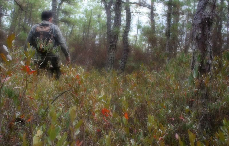
After the leisurely dancing, we decided to bushwhack from the medders over to the oft-of-recent visited Tulpehocken Creek western tributary and the Toop itself.
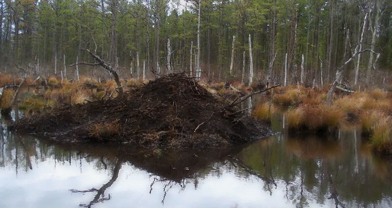
Large beaver lodge on tributary.
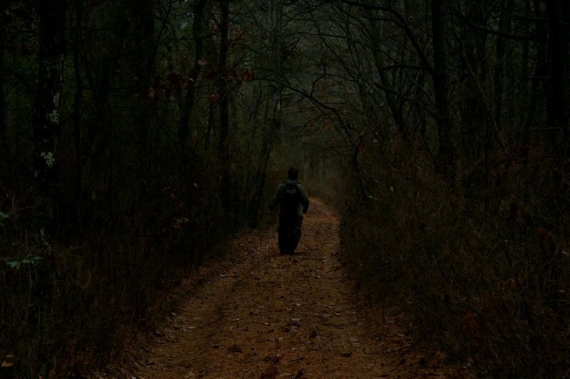
Near the Toop is an old road that has not been used in many years; it seems to be a road to and from nowhere. We crossed this seductive way last week and decided to return this week and follow it for a distance. Most sections of it are flooded.
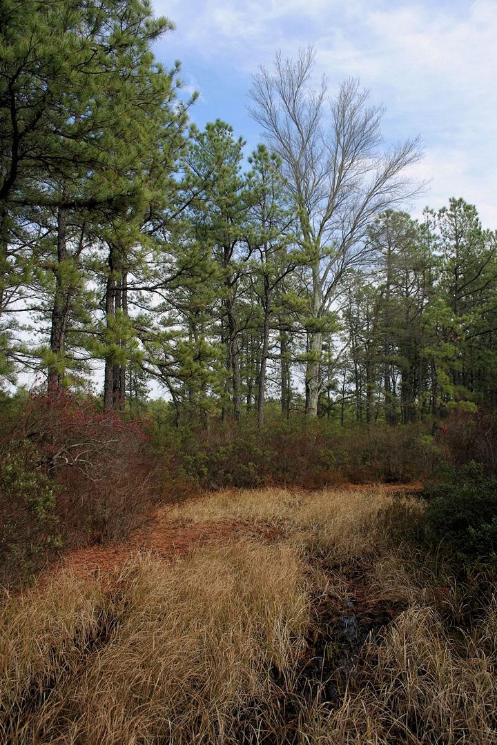
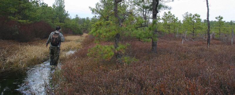
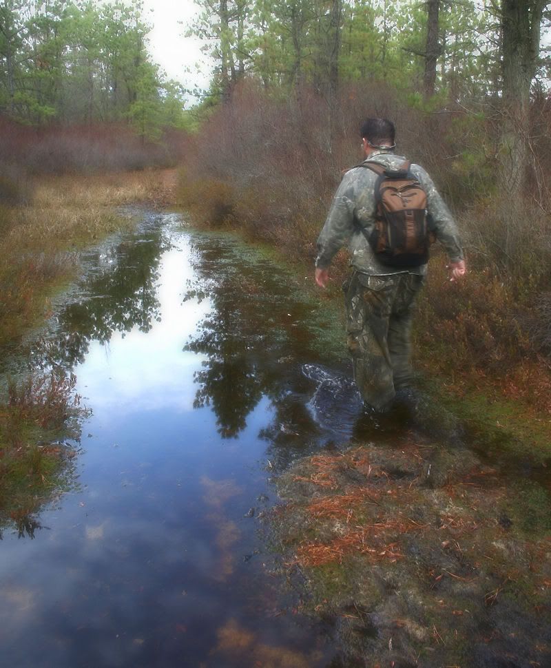
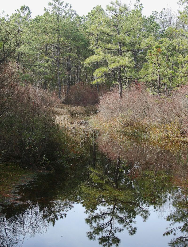
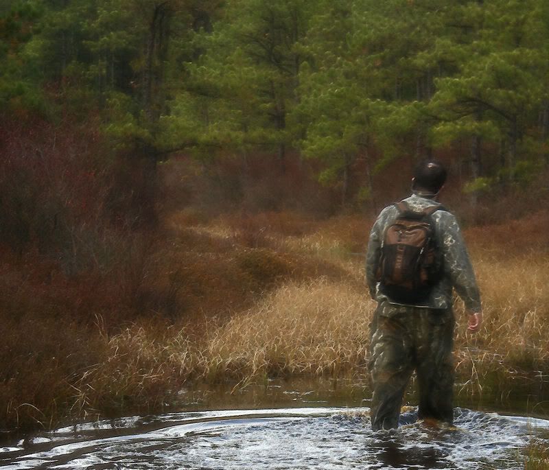
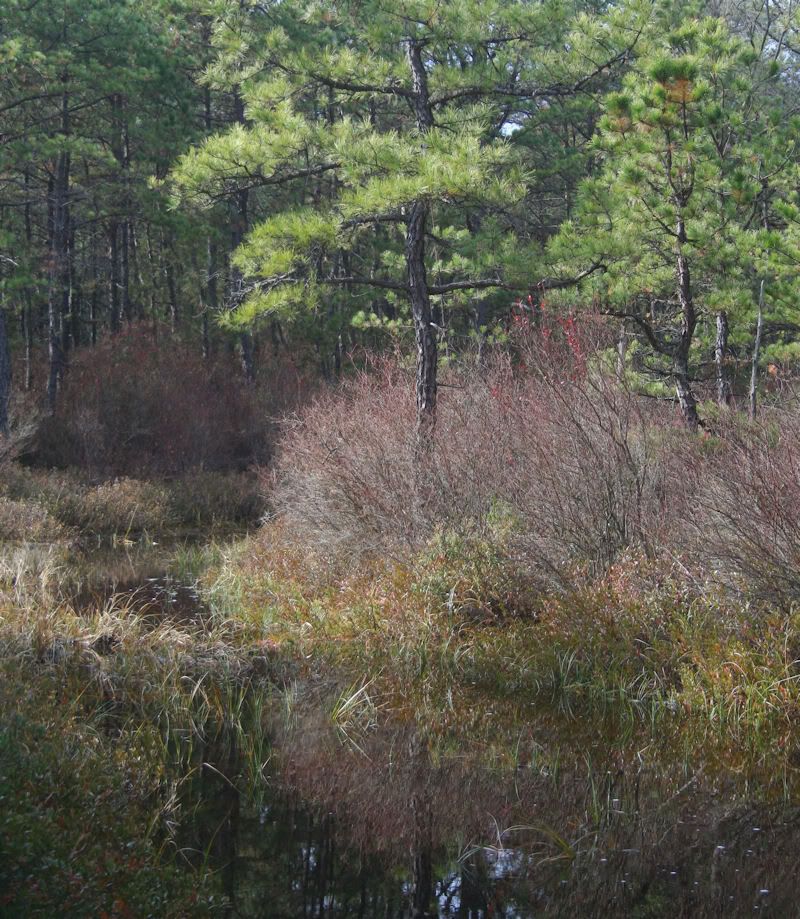
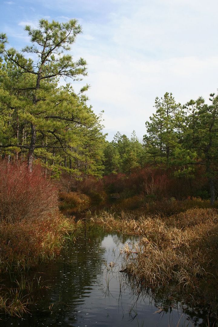
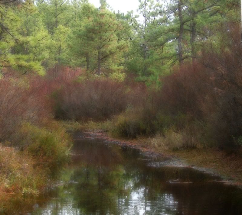
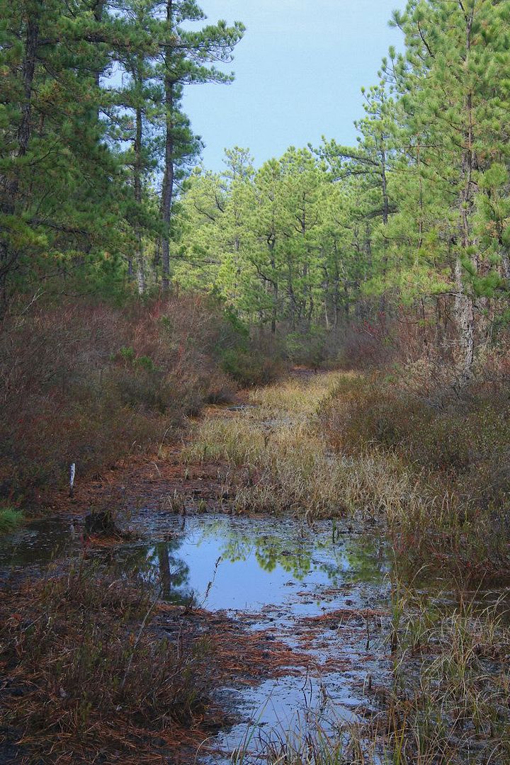
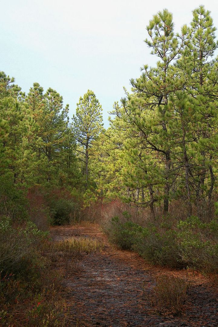
Off the road onto high ground adjacent to Tulpehocken Creek. Like last week, as soon as we reached this place, the sun dipped behind clouds. We'll keep going back until we get this right.
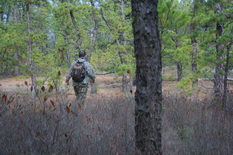
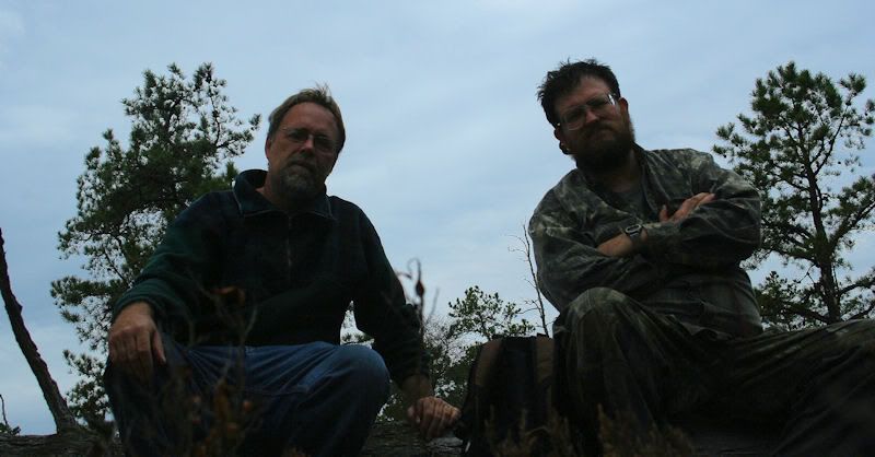
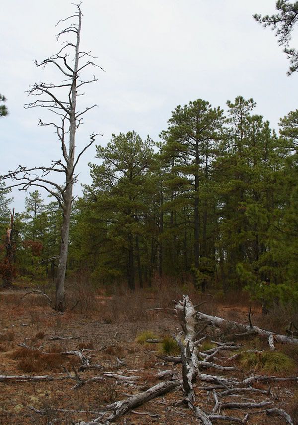
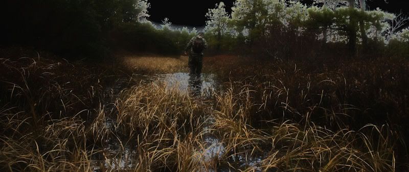

After the leisurely dancing, we decided to bushwhack from the medders over to the oft-of-recent visited Tulpehocken Creek western tributary and the Toop itself.


Large beaver lodge on tributary.
Near the Toop is an old road that has not been used in many years; it seems to be a road to and from nowhere. We crossed this seductive way last week and decided to return this week and follow it for a distance. Most sections of it are flooded.


Off the road onto high ground adjacent to Tulpehocken Creek. Like last week, as soon as we reached this place, the sun dipped behind clouds. We'll keep going back until we get this right.


I will post more tonight. Jess and I traveled that old road and I have photo's of it in the summer. It was so hot that day she almost fainted and I was really worried I was going to have to carry her out which would have been impossible for me to do.
Guy
Guy
Al,
Here is Jessica on that road on 5/15/204. It was extremly humid and hot and she really had problems walking in the waders. You can see how bad she was getting.


She was barely moving at this point.

To get to that road we had to walk through this.

Guy
Here is Jessica on that road on 5/15/204. It was extremly humid and hot and she really had problems walking in the waders. You can see how bad she was getting.
She was barely moving at this point.
To get to that road we had to walk through this.
Guy
Guy your last pic where it shows how you got to the road,where you are parked is one of Bills prime recording spots.There used to be a foot bridge there back in the late 80's but it disappeared long ago.I walked across there once and went in up to my chest,how deep was it when you and Jess crossed? We have crossed that creek (Temakwehocken) at three points downstream,two active beaver dams and on very old non functional beaver dam.one dam is quite uniqe,the stream being 120 ft across at that point and the dam over 200,it wiggles back and forth like a snake and has flooded a foret of so far live cedars,almost looks bayouish there.
Al
Al
Guy, where you parked; wasn't that where we stashed water on the "Seven Scenic Savannas" trek?
I believe it was.
Guy
All,
On Bill and Al's adventure this past week I was informed by Al that they had found a one vehicle track through a meadow that appeared to be recent. Al arrived home and did some checking and that track was there as early as 1956 and maybe 1931. He told me the tracks mysteriously disappear right into the woods lined with trees. So today I was in the area and with Al's permission I went and checked them out before he was able to return there.
First, here is the 1956 aerial showing the ruts. This is not a road, just two thin deep tracks across the meadow.

It is really strange in this photo that the vegetation between the tracks appear to be mowed, and you can see there is a tree right in the path.

You can see the curve where it goes around the wooded are in the middle of the meadow which you can see in the top photo.


Now it heads towards the trees.


More than 50 years later we can still see where they entered or exited the woods.

I believe Al and Bill will be investigating this area more in the future and can't wait to hear what they have to say. However, this does show that the aftermath of vehicles driving in these meadows have a long lasting effect on the landscape. Once these places are entered it takes many many years to recover.
Guy
On Bill and Al's adventure this past week I was informed by Al that they had found a one vehicle track through a meadow that appeared to be recent. Al arrived home and did some checking and that track was there as early as 1956 and maybe 1931. He told me the tracks mysteriously disappear right into the woods lined with trees. So today I was in the area and with Al's permission I went and checked them out before he was able to return there.
First, here is the 1956 aerial showing the ruts. This is not a road, just two thin deep tracks across the meadow.

It is really strange in this photo that the vegetation between the tracks appear to be mowed, and you can see there is a tree right in the path.
You can see the curve where it goes around the wooded are in the middle of the meadow which you can see in the top photo.
Now it heads towards the trees.
More than 50 years later we can still see where they entered or exited the woods.
I believe Al and Bill will be investigating this area more in the future and can't wait to hear what they have to say. However, this does show that the aftermath of vehicles driving in these meadows have a long lasting effect on the landscape. Once these places are entered it takes many many years to recover.
Guy
Guy
I take it you didn't try and follow the tracks into the woods? Have you found on historical aerials how the track heads due east to link back up with Hawkin Lowland road?the roadis barely visible in 1970 but becomes moreso in 63 and is quite discernible in 56.The trees in the svannah growing in the tracks did not appear over 15 to 20 years old but it remains to be seen what we find in the wooded patrches.The track breaks in and out of the savannahs several times.There is also a small clearing visible in the 95 black and whites but is so small it can't be looked down into on birds eye from an angle.Was wondering if possibly a structure related to the road might have been there,probably just a deer stand but we'll find that out soon.I'd love to be able to pinpoint the date those tracks were made.They must be amongst the oldest tracks in the barrens.
Al
I only traveled a short distance into the woods. If there was anything else to find I felt it was yours to find. I just wanted to see and photograph the tracks today. We parked right near there where it was the most obvious place to park, and when we returned to the car and were about to leave a vehicle was coming. I think they were hunters preparing for next weekend.
Those ruts are a very nice find Al.
Guy
Those ruts are a very nice find Al.
Guy
we crossed the ruts at the eastern end of the small island of trees you were next too and I immediately recognized them as truck tracks and not ATV tracks by their width apart but the tires seemed awful thin to be going through mud like that obviously was when they went through though quite solid at the moment.I then looked right(east) as we were headed north and noticed the tracks went right up to the woods edge and never veered left or right or turned around but seemed to dive straight into the woods.I walked up to the edge and saw no road or hint of one.I pushed back into the brush feeling for ruts with my feet and felt none and saw none.I believe to get through this mud the turck had to have four wheel but the tires appear to have been narrower then todays four by fours which is consistent with an older vehicle.I am no expert but I believe four wheel drive came into being in the 40's and wider tires did not become fashionable till the 60's so what I believe is this was a four wheel vehicle from the 40's through early 60's that was using what was then a woods track though probably not a major road.They went through when the area was quite wet and left these ruts that have since fossilized so to speak and have held form due to the extensive grass roots in plave now and probably then(hey thats a good band if I remember well)The track was probably not well used or there would be more tracks.The road appears to be about a half mile long and arrow straight almost connecting across a loop of hawkin lowland road.
Al
Al

