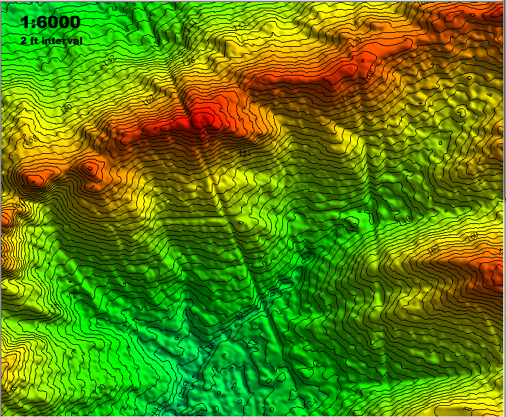
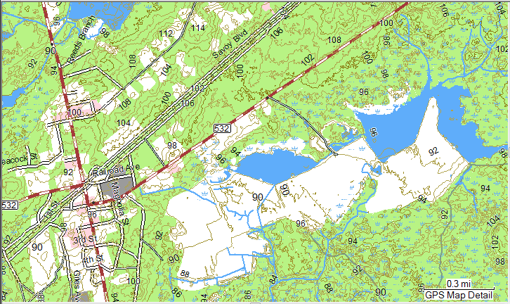
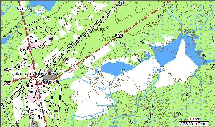
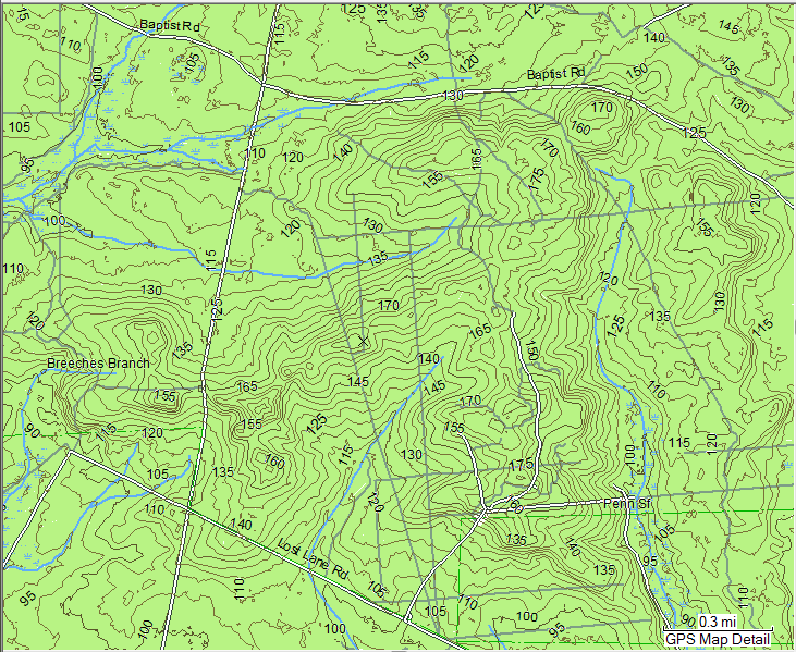
Boyd, can you do this one at 2?
http://maps.njpinebarrens.com/#lat=39.91001604103111&lng=-74.29025888442993&z=16&type=nj2007&gpx=
http://maps.njpinebarrens.com/#lat=39.91001604103111&lng=-74.29025888442993&z=16&type=nj2007&gpx=

")
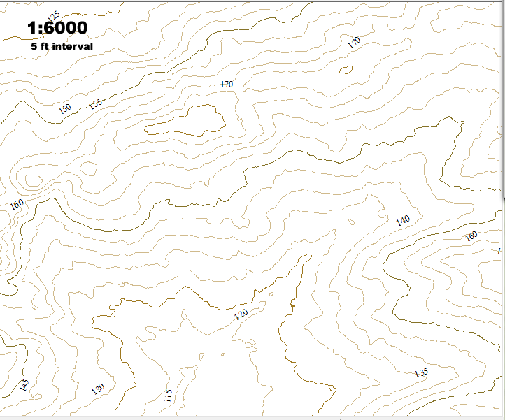
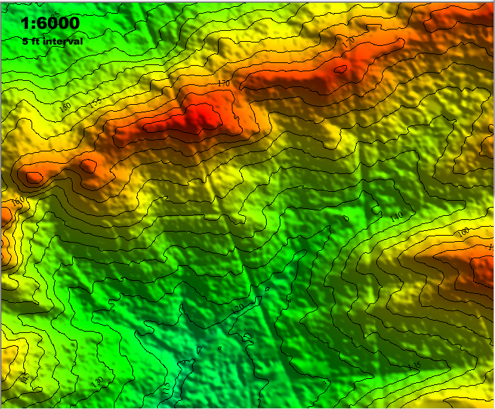
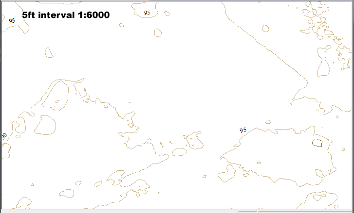
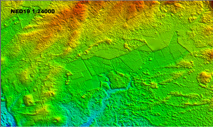
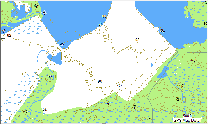
 LIDAR tends to make man's work stand out from nature.


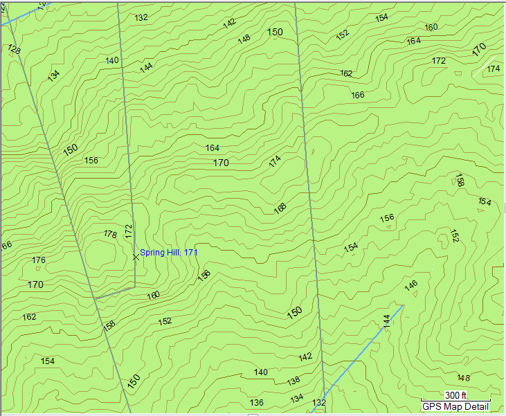
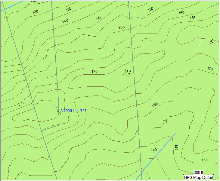


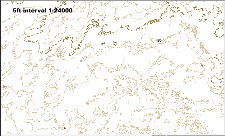


Bob, I wonder if you would really be happiest with the real USGS scans?
I hiked around the pines for many years before getting a GPS and could still do if I wanted to. I would do things like wear shoes that made distinctive prints, then look for them when I backtracked home on the maze of little sand trails. Nothing wrong with any of that. I actually go into the pines quite a bit with no gps, no camera. I like to just get outside and experience things sometimes without messing around with gadgets. So I do "get" where you're coming from. , you can never have "too much information". You can always ignore what you don't want, but you cannot create what you do want