Pine Barrens in for late season hurricane or big northeaster?

46er

Piney
Mar 24, 2004
8,837
2,144
Coastal NJ

46er

Piney
Mar 24, 2004
8,837
2,144
Coastal NJ
Dunes have been breached in Ortley Beach, ocean is streaming into the bay. I suspect this is happening in many locations.
 

dogg57

Piney
Jan 22, 2007
2,912
379
Southern NJ
southjerseyphotos.com
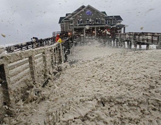
This is from Jingles Bait and Tackle on LBI...
Tides are starting to drop off in Beach Haven

384956_10151119453997965_669236945_n.jpg
 

Old Crazy

Explorer
Oct 13, 2007
481
94
Stinking Creek, NJ
Hope it all works out. Let us know when you are inland and safe. But I've gotta say.... you are certainly living up to your name. :)

Hopefully Boyd I'll get to meet you in person some day and show you that I'm actually disgustingly normal. :D

I just went outside and boarded up my crawl space door in waist deep water after I saw some of my stuff floating in the bay. Tied myself with a safety rope to the deck and wore a life jacket. All kinds of stuff floating around out there. Boats kayaks, doors, plants, garbage, wood, etc. The police said they could probably get me out at low tide. If they can, I'm gone. Lights are starting to flicker. Electric probably won't last much longer.
 

NJChileHead

Explorer
Dec 22, 2011
833
631
New Brunswick

x336.jpg


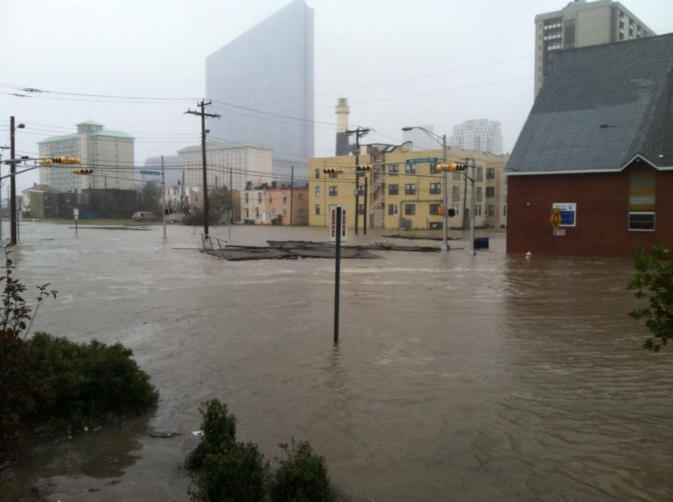
Point Pleasant:

447x.jpg


Neptune:

447x.jpg


A house in Ventnor:

8274b5f3-5444-47e3-afa0-b916f2372f37_500.jpg


Ocean City:

0bd7aea5-e3dd-48cd-8bf1-617c31fab916_500.jpg


Ocean City again:

d8a84bee-088b-4e03-896e-f29e1889cedd_500.jpg


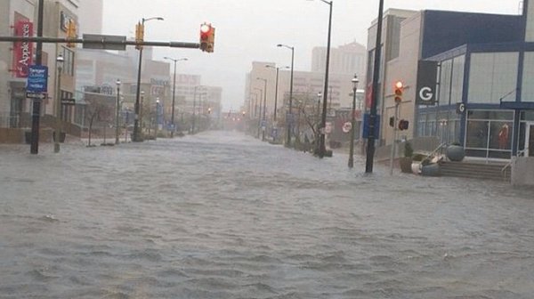
Atlantic City:

cb0efb3a-aa04-4244-84f6-f9a49ae25d17_500.jpg


Atlantic City:

slide_260033_1697030_free.jpg


Atlantic City:

slide_260033_1698178_free.jpg
 

NJChileHead

Explorer
Dec 22, 2011
833
631
We're getting windier gusts here in Mercer County, and the rain has picked up and remained steady. Hard to believe that the actual storm doesn't hit for 2 more hours. Be safe people.
 

NJChileHead

Explorer
Dec 22, 2011
833
631
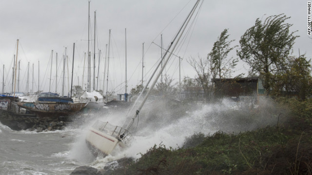
Milford, CT:

121029052723-sandy-milford-connecticut-horizontal-gallery.jpg


City Island, NY:

121029043741-01-sandy-1240p-horizontal-gallery.jpg


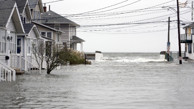
Beach Avenue, Cape May:

121029023521-02-sandy-1030a-horizontal-gallery.jpg


Queens, NY:

121029023516-05-sandy-1030a-horizontal-gallery.jpg


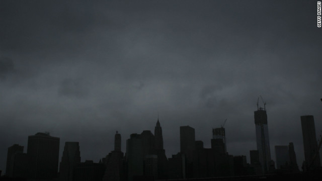
Eerie shot of Manhattan:

121029021312-nyc-skyline-sandy-c1-horizontal-gallery.jpg


Brooklyn:

gty_red_hook_154979825_ll_121029_ssh.jpg


Battery Park:

ap_superstorm_10b_dm_121028_ssh.jpg


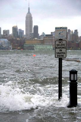
Hoboken, NJ:

ap_superstorm_8_sandy_mitc_ssv.jpg


Nags Head, NC:

ap_superstorm_4_sandy_mitc_ssh.jpg


Buxton, NC:

ap_sandy_21_dm_121028_ssh.jpg


Ocean City, MD:

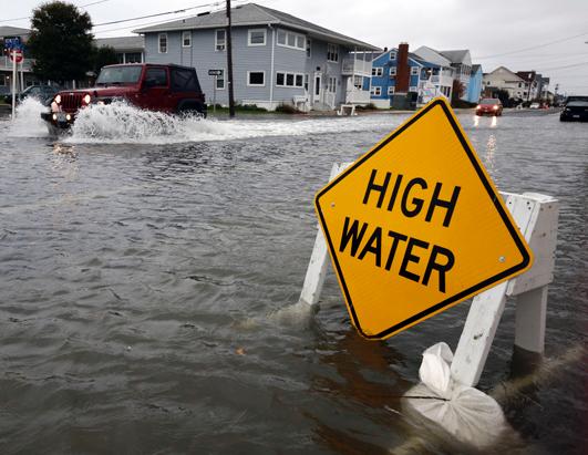
ap_hurricane_sandy_ss3_high_water_jt_121028_ssh.jpg


Ft. Lauderdale:

ld_hurricane_sandy_ss1_jt_121026_ssh.jpg
 

manumuskin

Piney
Jul 20, 2003
8,688
2,613
60
millville nj
www.youtube.com
How far do the flood waters normally reach outside the barrier islands, say along 47 in Cape May County and route nine?
Chris
It's all a matter of elevation.As the water gets pushed inland and the pull of the moon,(now full which makes it worse) lifts the water and creates a bulge over the ocean it depends on how high this water gets lifted/pushed.The water is being pushed up delaware bay and hence up every tidal stream that runs into the bay,this goes for the back bays along route 9 also.basically tidal streams will flood all the way up them till they hit fresh water because as long as they are tidal they are essentially at sea level.The water will continue to push upstream into normally fresh water areas.Now if the tide is projected to be 8 ft above normal and the normal tide listed for today in the Almanac or wherever is 4 ft you will have 12 ft of water above mean sea level.That means anywhere on the topo map that is 12 ft or less above sea level is likely to get wet.So check your topos with the projected tidal levels and that will give you an idea.Non Tidal streams will flood temporarily because the water table will not be able to absorb this much water this fast.They may flow out of their banks temporarily and swamps will fill up.This will wane as runoff and water sinking into the water table subsides.This would be much worse if the water table was already high but it still appears to be fairly low so much of the excess will hopefully sink into the acquifer but it is coming so fast much will run off.I tis this type of rain that creates flash floods in deserts and mountains because they have so sandy catch basin to absorb it and it all runs off fast.I sit at 40 ft above sea level so I have no fears of flooding but I am surrounded by big ass trees two dead one have already blown down.Trees are scary some times.
 

Boyd

Administrator
Staff member
Site Administrator
Jul 31, 2004
9,892
3,046
Ben's Branch, Stephen Creek
We're all gonna get it Al, I don't think the actual track will matter a lot. On the news they are saying that the storm is picking up speed and will hit before high tide now, which is good news for many coastal locations.

Just spent awhile out on the front porch lashing down anything that might blow away, just in case. Wind gusts are getting stronger, but not like the scary ones we had during Irene where the trees were bending over. Tested the genny and it fired right up on the first try. I'm ready, hope everyone else is too - especially Old Crazy. :)

Here's the total precipitation so far. Looks like I got the rain I wanted.

precip.jpg
 
Top