Tar Kiln Locations?

Boyd

Administrator
Staff member
Site Administrator
Jul 31, 2004
9,824
3,004
Ben's Branch, Stephen Creek
I have been all over this intersection as well years ago

It's about 250 feet South of the intersection, did you look that far away? Snow is melting here, ground starting to poke through. In a few days, when the rain is over and the roads dry out, I'll have another look. :)
 

Spung-Man

Piney
Jan 5, 2009
1,000
729
65
Richland, NJ
www.researchgate.net
Years back on occasion I used to breakfast at the now long-gone Pine Grove Restaurant on Delsea Drive near Dorchester. Specifically, the visit timed to meet up with an old woodsman by the name of Russ Pettit (if memory serves) who lived across the highway. His favorite dish was oatmeal, which I'd treat. He purportedly cut wood for that mill back in Peaslee. The sawmill owner's name forgotten by me...

In youth I spent a lot of time hiking the trails of Peaslee Wildlife Management Area, its northern border near our farm at Calfs Head of the Manumuskin.

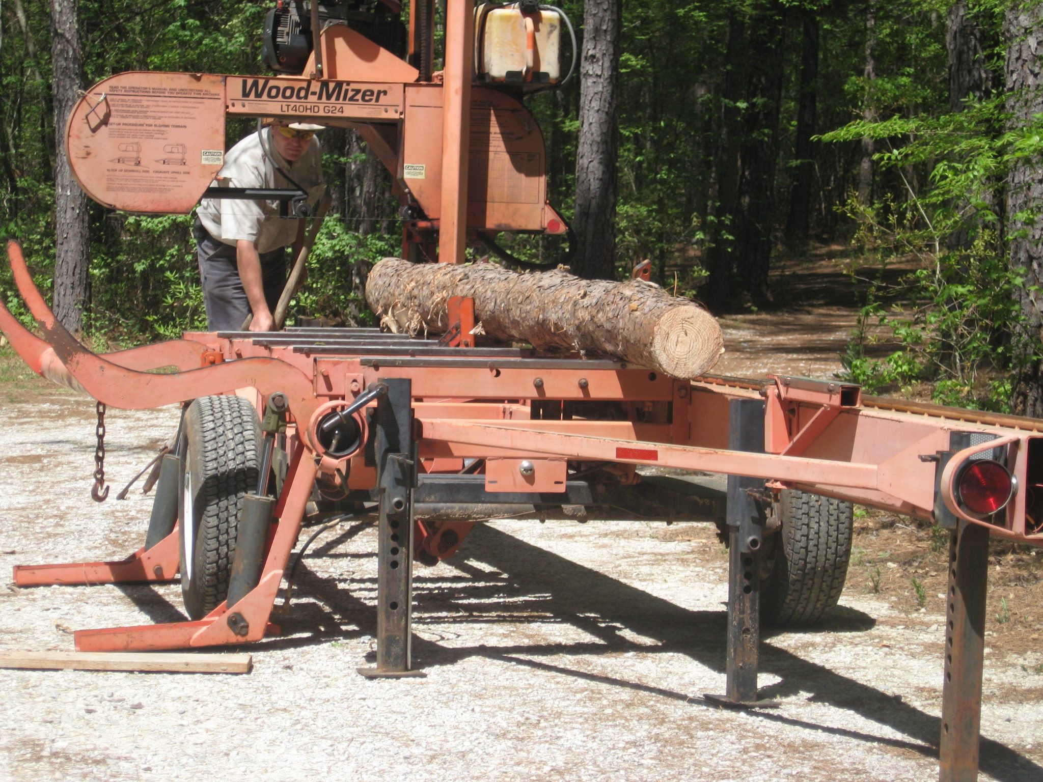
There's old portable mills dotted all along the Manumuskin watershed. With steam boilers (later diesel engines) it became easier to move the mill than haul the wood. The Franks had Five Point Mill on Bears Head Road near its intersection with Cornucopia. Foxy had one in New Italy near the end of Genoa, which later became a still. Jonnie Smith's Mill with its over-the-treetops sawdust pile west of Hundred Acre Field on Cannon Range Road was moved to Richland in 1879 to cut the WJRR right-of-way and build Richland. Another was operated by Ando's at the corner of Main and Millville, having earlier been relocated from the Milmay train station. There were four sawmills in Richland.
 

Boyd

Administrator
Staff member
Site Administrator
Jul 31, 2004
9,824
3,004
Ben's Branch, Stephen Creek
I was watching a show about Alaska last year and they were using a modern portable sawmill to make their own dimensional lumber. Very cool, I had no idea these things existed. If I was a few years younger I'd be all over these. :D

 
  • Like
Reactions: manumuskin

manumuskin

Piney
Jul 20, 2003
8,673
2,586
60
millville nj
www.youtube.com
Thats probabl
It's about 250 feet South of the intersection, did you look that far away? Snow is melting here, ground starting to poke through. In a few days, when the rain is over and the roads dry out, I'll have another look. :)
y a little further them i stomped. The woods are very open you’d think you’d see something from the road but it’s worgh a look. I passes a sawmill for years near EvansBridge and the one day miraculously spotted it as i went by
 
  • Like
Reactions: Boyd

Boyd

Administrator
Staff member
Site Administrator
Jul 31, 2004
9,824
3,004
Ben's Branch, Stephen Creek
A bit off-topic but also in Peaslee, farther South, on First Avenue near Hunters Mill. Was this a sawmill? It's pretty big with a depression that might have been a cellar. Al, it seems to me you may have started a thread about this awhile ago.

https://boydsmaps.com/#18.00/39.331293/-74.853153/lidar2021bw/0.00/0.00

The USGS topo shows a building on the North side of the road, but I couldn't find any remnants of that. Made me wonder if they just had it on the wrong side of the road?

https://boydsmaps.com/#16.00/39.331683/-74.853421/pines1999/0.00/0.00

Took some pictures in 2017, but it's hard to make out.

ruins.jpg


Bolts protruding from the concrete

bolts.jpg
 
  • Like
Reactions: John

Boyd

Administrator
Staff member
Site Administrator
Jul 31, 2004
9,824
3,004
Ben's Branch, Stephen Creek
Al, it seems to me you may have started a thread about this awhile ago.

Found it!


bobpbx

Piney
Staff member
Oct 25, 2002
14,658
4,834
Pines; Bamber area
His favorite dish was oatmeal, which I'd treat.
How'd he take it, with a shot of pine tar cordial?


I never heard of that one. But seriously, I do have oatmeal on most winter mornings. Stays with you for hours. I put anything from nuts, to bananas, blueberries, strawberries, or rasberries on it. Sometimes dribble maple syrup on it. And I always put my oat meal on top of a bed of bran. How did the woodsman take it, do you recall?
 
  • Like
Reactions: Boyd

Boyd

Administrator
Staff member
Site Administrator
Jul 31, 2004
9,824
3,004
Ben's Branch, Stephen Creek
Last edited:

Spung-Man

Piney
Jan 5, 2009
1,000
729
65
Richland, NJ
www.researchgate.net
Pine Tar Cordial, great for dyspepsia! I don't recall anything out of the ordinary about Pettit's oatmeal preferences. Simple.

I'm amazed at how the lidar imagery has renewed interest in charcoal pits and tar kilns. Great stuff, nice to catch up. Going back to paperwork but should be back soon, I hope...
 
  • Like
Reactions: bobpbx and Boyd

manumuskin

Piney
Jul 20, 2003
8,673
2,586
60
millville nj
www.youtube.com
A bit off-topic but also in Peaslee, farther South, on First Avenue near Hunters Mill. Was this a sawmill? It's pretty big with a depression that might have been a cellar. Al, it seems to me you may have started a thread about this awhile ago.

https://boydsmaps.com/#18.00/39.331293/-74.853153/lidar2021bw/0.00/0.00

The USGS topo shows a building on the North side of the road, but I couldn't find any remnants of that. Made me wonder if they just had it on the wrong side of the road?

https://boydsmaps.com/#16.00/39.331683/-74.853421/pines1999/0.00/0.00

Took some pictures in 2017, but it's hard to make out.

View attachment 16709

Bolts protruding from the concrete

View attachment 16710
I also drove by this one for years and never seen it till one day there it was.No excuse for this one though since I believe on the old topos some where there is a building symbo lmarking the location,is supposed to be something across the street as well but I couldn't find anything.This ruin has quite the whole dug around it.Quite substantial for something portable
 

Boyd

Administrator
Staff member
Site Administrator
Jul 31, 2004
9,824
3,004
Ben's Branch, Stephen Creek
It's about 250 feet South of the intersection, did you look that far away? Snow is melting here, ground starting to poke through. In a few days, when the rain is over and the roads dry out, I'll have another look. :)

Had a look today, didn't find "four concrete piers" but I wasn't especially methodical. What I did find was a well-defined mound, 3 or 4 ft high right where the structure is on the topo. Theres another mound just to the East, right next to the road. Am pretty impressed with the detail in this imagery, it clearly shows those two "bumps" on the ground. They could have been related to a sawmill, but I would have just assumed it was dirt dumped there when they built/improved the road.

https://boydsmaps.com/#20.00/39.390197/-74.898209/lidar2021bw/0.00/0.00

There's also a depression in ground here. Could be another charcoal pit or ???

https://boydsmaps.com/#20.00/39.390209/-74.898444/lidar2021bw/0.00/0.00

Walked around the whole triangle between the old and new road and didn't notice much else. Might be worth a closer look?
 

manumuskin

Piney
Jul 20, 2003
8,673
2,586
60
millville nj
www.youtube.com
Had a look today, didn't find "four concrete piers" but I wasn't especially methodical. What I did find was a well-defined mound, 3 or 4 ft high right where the structure is on the topo. Theres another mound just to the East, right next to the road. Am pretty impressed with the detail in this imagery, it clearly shows those two "bumps" on the ground. They could have been related to a sawmill, but I would have just assumed it was dirt dumped there when they built/improved the road.

https://boydsmaps.com/#20.00/39.390197/-74.898209/lidar2021bw/0.00/0.00

There's also a depression in ground here. Could be another charcoal pit or ???

https://boydsmaps.com/#20.00/39.390209/-74.898444/lidar2021bw/0.00/0.00

Walked around the whole triangle between the old and new road and didn't notice much else. Might be worth a closer look?
That doesn’t look like a kiln to me, they usually look like donuts
 

Boyd

Administrator
Staff member
Site Administrator
Jul 31, 2004
9,824
3,004
Ben's Branch, Stephen Creek
Yeah, exactly, it was a hole, but not much, if any, mound around the perimeter. Could be a cellar hole I guess? It's about 70 feet West of the location of the structure on the USGS Topo. Those topo's aren't very accurate by today's standards. Regardless, didn't see the concrete piers that Mark mentioned.

BTW, working on some new code that will display elevation from the 1-meter LIDAR DEM. If you have elevation display enabled, it will switch to this automatically in any of the newer LIDAR-based maps and will also work in GPS mode. This should be much more accurate than the 10-meter data from USGS servers. Also faster/more reliable since it's locally hosted. Coming soon. :)
 
Last edited:

Teegate

Administrator
Site Administrator
Sep 17, 2002
25,951
8,694
I
A bit off-topic but also in Peaslee, farther South, on First Avenue near Hunters Mill. Was this a sawmill? It's pretty big with a depression that might have been a cellar. Al, it seems to me you may have started a thread about this awhile ago.

https://boydsmaps.com/#18.00/39.331293/-74.853153/lidar2021bw/0.00/0.00

The USGS topo shows a building on the North side of the road, but I couldn't find any remnants of that. Made me wonder if they just had it on the wrong side of the road?

https://boydsmaps.com/#16.00/39.331683/-74.853421/pines1999/0.00/0.00

Took some pictures in 2017, but it's hard to make out.

View attachment 16709

Bolts protruding from the concrete

View attachment 16710
I was at that sawmill and posted about it.

 
  • Like
Reactions: Boyd

Gnvair

New Member
Jul 19, 2020
2
4
Berlin
There are tar kiln dripping pans near tributary heads all along the Manumuskin. The pair at Cedar Branch, tributary of the Manumuskin, are just above the intersection of Mattox Road and the trail to Canute Neck or Parsontown below Bennetts Mill. The "runnels" identified by Bob are in the right place for pitch gutters used to fill 32-gallon barrels (320 pound) barrels to be punted to a boat- or shipyard for distillation. Tar kilns are often repurposed as charcoal pits, although there is a record of pine tar cordial being made along the Manumuskin up to the start of the twentieth century. Mattox Road connected Walkers Forge (where Mattox had an interest in the Richard Somers sawmill) with Cumberland Furnace. Mattox Landing is the old name for Mauricetown further down the Maurice River. A Mattox also ran the Blue Anchor Tavern. A Blue Anchor (Mattox; =Union) Road meets up with the above mentioned Canute Neck trail at Parson's house in Parsontown, linking the Blue Anchor Tavern via Inskeeps Ford. The Manumuskin kilns are working by the mid eighteenth century, run by Swedes, Finns, and Dutch—e.g., Hans or Hance of Hance's Great Bridge. Hans or Hance may be Hance Steelman, but so far his surname remains a mystery. I'm busy writing papers and a book on the ice age landscape but will be back soon.

I can't thank Boyd enough for the handy maps. He has done much to advance our understanding of Pinelands geography. Well done!

Spung-man
It was Richard Mattox who bought the Blue Anchor tavern (and tract) in 1762. He sold the property to his son in law, Josiah Albertson who married Richard's daughter Elizabeth. Their son David was the one who built the Spring Garden Inn located in Ancora.
 
  • Like
Reactions: Boyd
Top