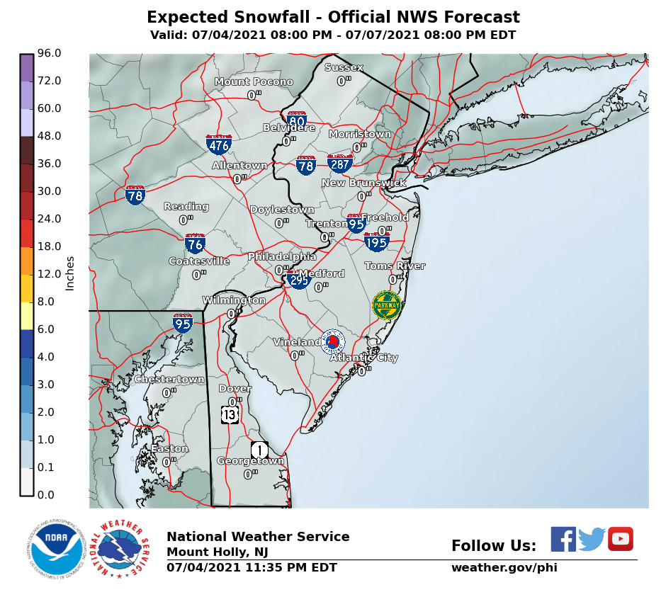
Just received a Nixle alert, now a blizzard warning and it now says 6-10" with 50mph wind gusts.
Blizzard Warning
URGENT - WINTER WEATHER MESSAGE
National Weather Service Mount Holly NJ
317 PM EST Wed Jan 3 2018
...High Impact Storm including the aftermath of wind driven
record cold on its way to our area...
...A rapidly intensifying coastal storm will produce significant
snowfall and strong winds tonight through Thursday...
NJZ013-014-020-022>027-041000-
/O.UPG.KPHI.WS.W.0001.180104T0200Z-180105T0000Z/
/O.NEW.KPHI.BZ.W.0001.180104T0200Z-180105T0000Z/
Western Monmouth-Eastern Monmouth-Ocean-Atlantic-Cape May-
Atlantic Coastal Cape May-Coastal Atlantic-Coastal Ocean-
Southeastern Burlington-
Including the cities of Freehold, Sandy Hook, Jackson, Hammonton,
Cape May Court House, Ocean City, Atlantic City,
Long Beach Island, and Wharton State Forest
317 PM EST Wed Jan 3 2018
...BLIZZARD WARNING IN EFFECT FROM 9 PM THIS EVENING TO 7 PM EST
THURSDAY...
* WHAT...Blizzard conditions expected. Travel will be very
dangerous to impossible, including during the morning commute on
Thursday. Tree branches could fall as well. Total snow
accumulations of 6 to 10 inches are expected.
* WHERE...Portions of central and southern New Jersey.
* WHEN...From 9 PM this evening to 7 PM EST Thursday.
* ADDITIONAL DETAILS...Winds gusting as high as 50 mph will cause
whiteout conditions in blowing snow. Significant drifting of
the snow is likely. Scattered power outages could develop
Thursday and Friday which would force considerable hardship
where heat would not be available.
PRECAUTIONARY/PREPAREDNESS ACTIONS...
A Blizzard Warning means severe winter weather conditions are
expected or occurring. Falling and blowing snow with strong winds
and poor visibilities are likely. This will lead to whiteout
conditions, making travel extremely dangerous. Do not travel. If
you must travel, have a winter survival kit with you. If you get
stranded, stay with your vehicle. The latest road conditions for
the state you are calling from can be obtained by calling 5 1 1.
Instructions:
PRECAUTIONARY/PREPAREDNESS ACTIONS... A Blizzard Warning means severe winter weather conditions are expected or occurring. Falling and blowing snow with strong winds and poor visibilities are likely. This will lead to whiteout conditions, making travel extremely dangerous. Do not travel. If you must travel, have a winter survival kit with you. If you get stranded, stay with your vehicle. The latest road conditions for the state you are calling from can be obtained by calling 5 1 1.


 Big Orange is now sitting at the ready in the garage instead of way out in the shed.


